Chetma Facts
| Local Time | |
| Timezone | Central European Standard Time |
| Lat & Lng | 34.84568, 5.80839 |
| Postal Codes | 07024 |
Map of Chetma
Interactive Map
Recent Nearby Earthquakes
Magnitude 3.0 and greater
| Date▼ | Time↕ | Magnitude↕ | Distance↕ | Depth↕ | Location↕ | Link |
|---|---|---|---|---|---|---|
| 8/15/17 | 2:50 PM | 4.7 | 89.3 km | 10,000 m | 10km WNW of Merouana, Algeria | usgs.gov |
| 5/30/17 | 6:48 PM | 4.3 | 40.4 km | 10,400 m | 28km WNW of Zeribet el Oued, Algeria | usgs.gov |
| 11/18/16 | 12:08 PM | 4.9 | 46.2 km | 10,240 m | 20km WNW of Zeribet el Oued, Algeria | usgs.gov |
| 11/18/16 | 7:42 AM | 5.2 | 40.5 km | 26,410 m | 26km WNW of Zeribet el Oued, Algeria | usgs.gov |
| 3/24/15 | 5:04 PM | 4.2 | 93.1 km | 21,060 m | 3km E of Ras el Aioun, Algeria | usgs.gov |
| 3/21/15 | 10:55 PM | 4.8 | 92.9 km | 10,000 m | 3km E of Ras el Aioun, Algeria | usgs.gov |
| 3/18/15 | 11:31 PM | 4.2 | 84.8 km | 10,000 m | 8km SSE of Ras el Aioun, Algeria | usgs.gov |
| 3/17/15 | 9:14 PM | 4.4 | 98.5 km | 10,000 m | 5km N of Ras el Aioun, Algeria | usgs.gov |
| 3/15/15 | 11:22 AM | 4.6 | 96.9 km | 10,000 m | 7km NE of Ras el Aioun, Algeria | usgs.gov |
| 4/30/13 | 5:53 PM | 4 | 60.8 km | 10,400 m | 23km W of Ain Touta, Algeria | usgs.gov |
Source: U.S. Geological Survey (USGS)
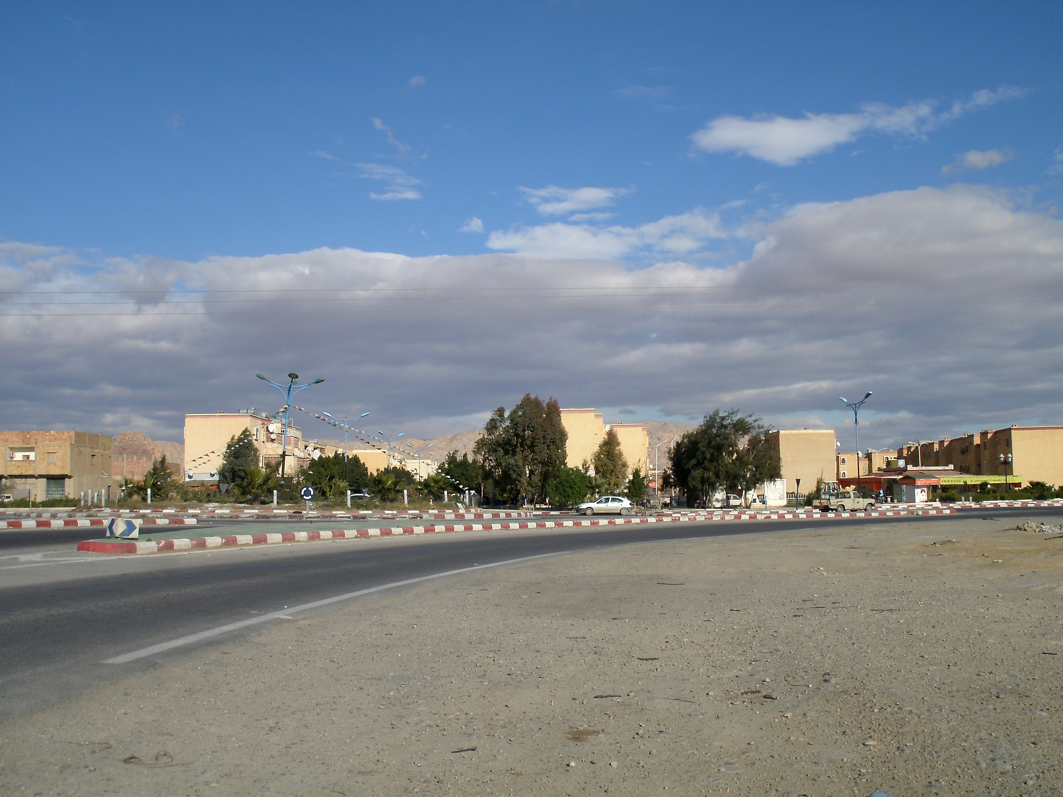
Chetma
Chetma is a town and commune in Biskra Province, Algeria. According to the 1998 census it has a population of 8,677.
Chetma Wikipedia Page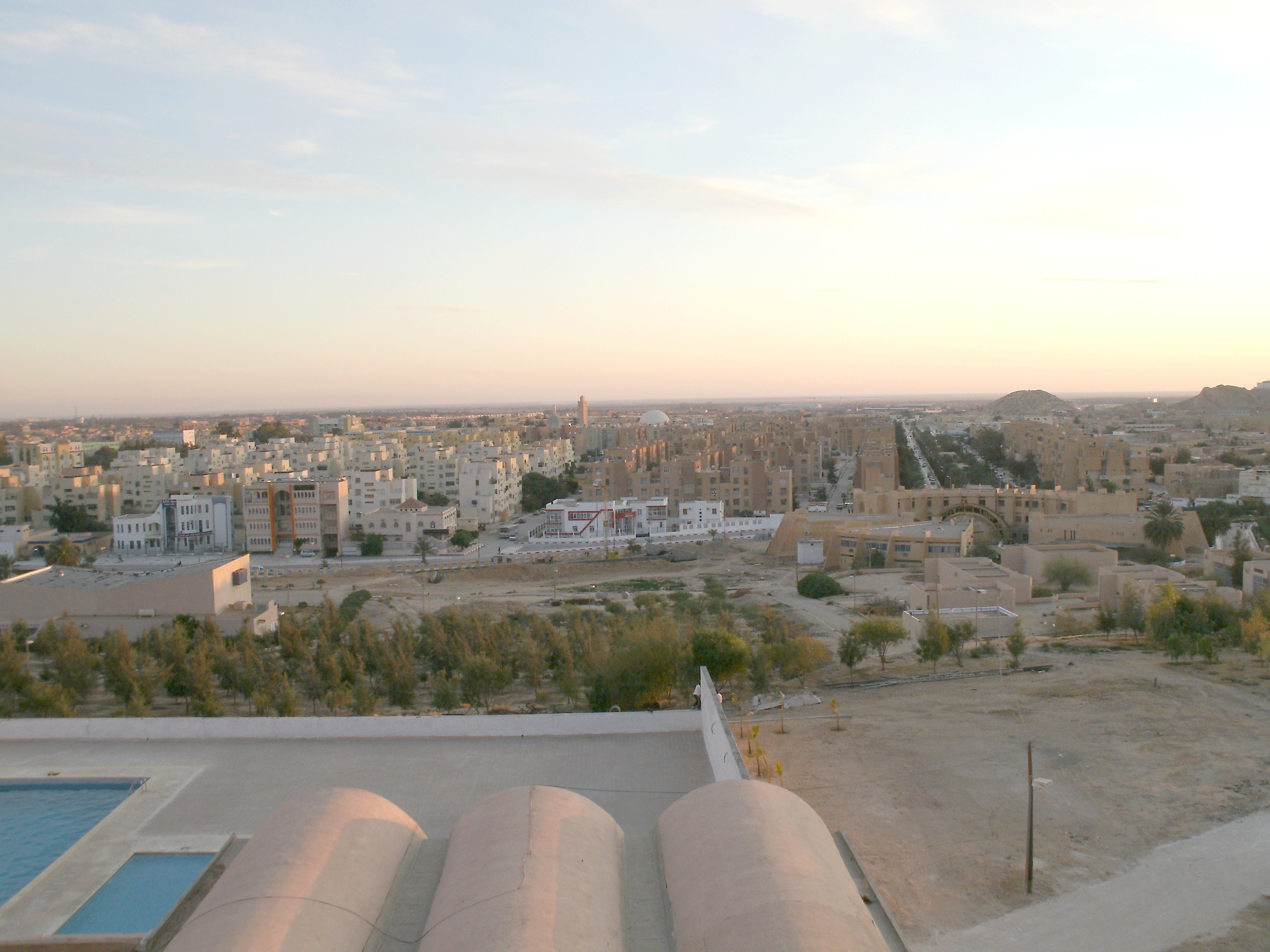

About Our Data
The data on this page is estimated using a number of publicly available tools and resources. It is provided without warranty, and could contain inaccuracies. Use at your own risk.