Chréa Facts
| Local Time | |
| Timezone | Central European Standard Time |
| Lat & Lng | 36.42912, 2.88059 |
| Postal Codes | 09027 |
Map of Chréa
Interactive Map
Recent Nearby Earthquakes
Magnitude 3.0 and greater
| Date▼ | Time↕ | Magnitude↕ | Distance↕ | Depth↕ | Location↕ | Link |
|---|---|---|---|---|---|---|
| 1/8/18 | 4:20 PM | 4.5 | 35.9 km | 10,000 m | 6km ESE of Hadjout, Algeria | usgs.gov |
| 1/2/18 | 8:59 PM | 4.7 | 30.4 km | 8,260 m | 11km SW of El Affroun, Algeria | usgs.gov |
| 2/10/16 | 1:12 AM | 4.7 | 21.5 km | 11,120 m | 1km SSE of Bougara, Algeria | usgs.gov |
| 3/16/15 | 11:13 AM | 3.7 | 15.5 km | 10,000 m | 3km SE of Bouinan, Algeria | usgs.gov |
| 2/1/15 | 11:38 PM | 4.2 | 15.8 km | 10,000 m | 1km NNW of Bouinan, Algeria | usgs.gov |
| 2/1/15 | 8:06 PM | 4.7 | 13.3 km | 19,050 m | 5km SSE of Bouinan, Algeria | usgs.gov |
| 12/26/14 | 5:55 PM | 5.1 | 19.7 km | 14,260 m | 2km SSW of Bougara, Algeria | usgs.gov |
| 12/23/14 | 8:59 AM | 4.7 | 17.1 km | 13,430 m | 5km SSW of Bougara, Algeria | usgs.gov |
| 12/23/14 | 8:00 AM | 4.9 | 14.7 km | 7,290 m | 5km SE of Bouinan, Algeria | usgs.gov |
| 12/21/14 | 5:53 PM | 4.4 | 17.9 km | 21,400 m | 4km E of Boufarik, Algeria | usgs.gov |
Source: U.S. Geological Survey (USGS)
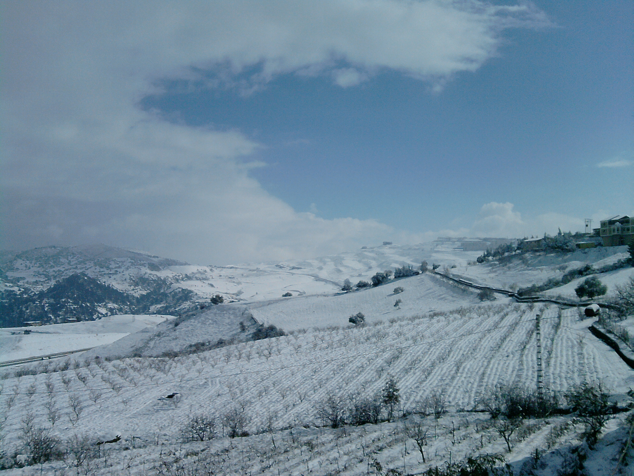
Chréa
is a town in Algeria, located in Blida Province, Bougara District, in a mountainous area named Tell Atlas, near Blida. its municipality is situated the Chréa National Park, one of the smallest national parks of the country, and a ski resort. the ..
Chréa Wikipedia Page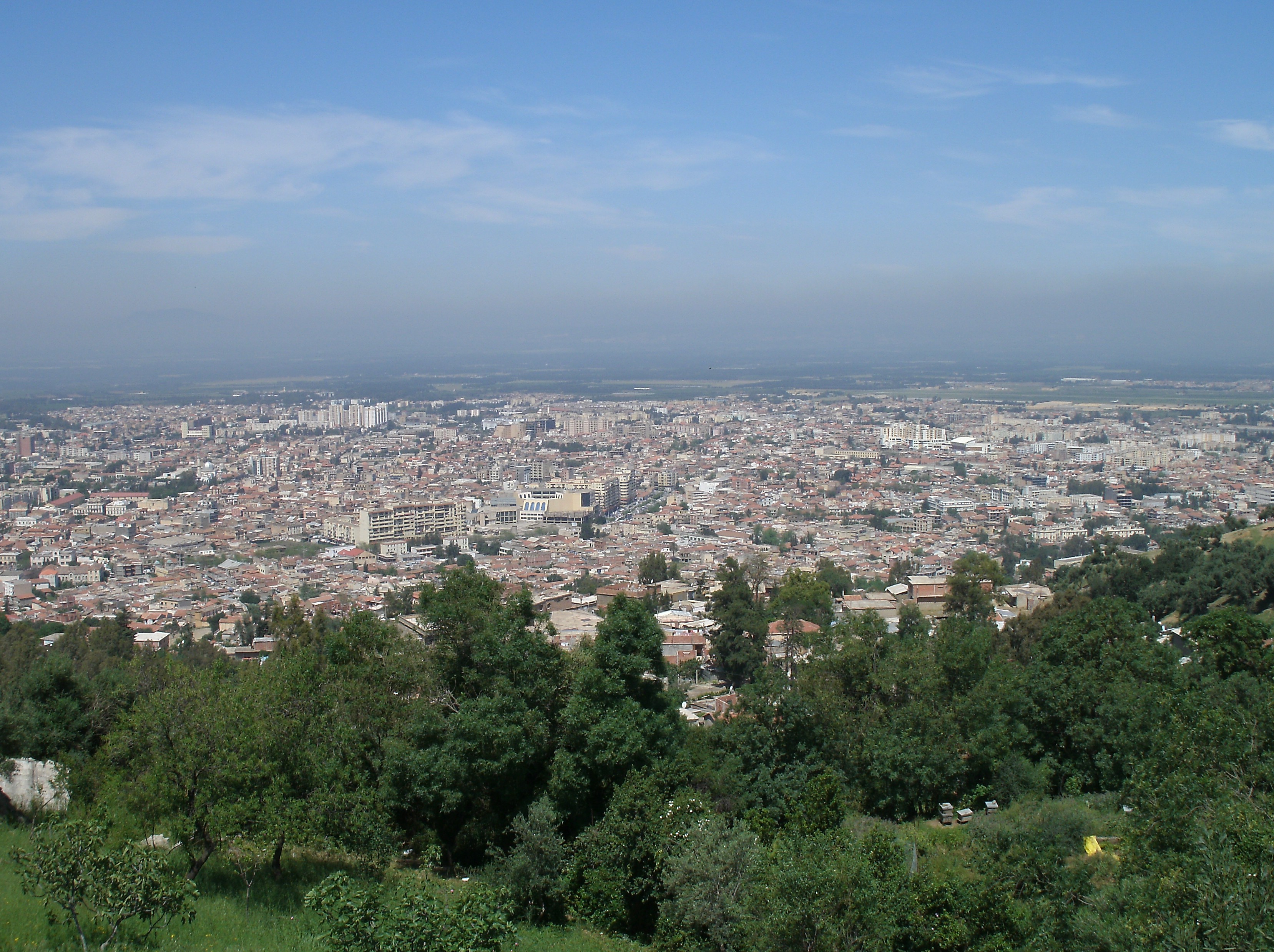

About Our Data
The data on this page is estimated using a number of publicly available tools and resources. It is provided without warranty, and could contain inaccuracies. Use at your own risk.