Industries
Business Distribution by Industry in El Hamadia
Map of El Hamadia
Interactive Map
Area Codes
Percentage Area Codes used by businesses in El Hamadia
Recent Nearby Earthquakes
Magnitude 3.0 and greater
| Date▼ | Time↕ | Magnitude↕ | Distance↕ | Depth↕ | Location↕ | Link |
|---|---|---|---|---|---|---|
| 6/10/19 | 1:26 PM | 4.1 | 51.5 km | 36,970 m | 39km S of Bordj Ghdir, Algeria | usgs.gov |
| 7/20/18 | 9:32 AM | 4.2 | 68.1 km | 10,000 m | 21km ENE of Bougaa, Algeria | usgs.gov |
| 1/29/17 | 8:55 AM | 4.6 | 30.9 km | 10,000 m | 9km NNE of Mansourah, Algeria | usgs.gov |
| 11/5/16 | 8:43 PM | 4.2 | 66.6 km | 10,000 m | 16km WSW of Melouza, Algeria | usgs.gov |
| 7/15/15 | 7:38 AM | 3.8 | 38.3 km | 10,000 m | 4km SSE of M'Sila, Algeria | usgs.gov |
| 5/26/13 | 4:00 PM | 5 | 92.4 km | 10,000 m | 8km ESE of Bejaia, Algeria | usgs.gov |
| 5/19/13 | 9:07 AM | 5 | 92.6 km | 6,700 m | 13km ESE of Bejaia, Algeria | usgs.gov |
| 6/3/12 | 2:57 PM | 4 | 76.1 km | 10,000 m | northern Algeria | usgs.gov |
| 4/5/12 | 4:56 AM | 4.6 | 28.2 km | 1,000 m | northern Algeria | usgs.gov |
| 7/11/10 | 2:15 PM | 4.4 | 65.3 km | 10,100 m | northern Algeria | usgs.gov |
Source: U.S. Geological Survey (USGS)
El Hamadia
El Hamadia is a town and commune in Bordj Bou Arréridj Province, Algeria. According to the 1998 census it has a population of 20,635.
El Hamadia Wikipedia Page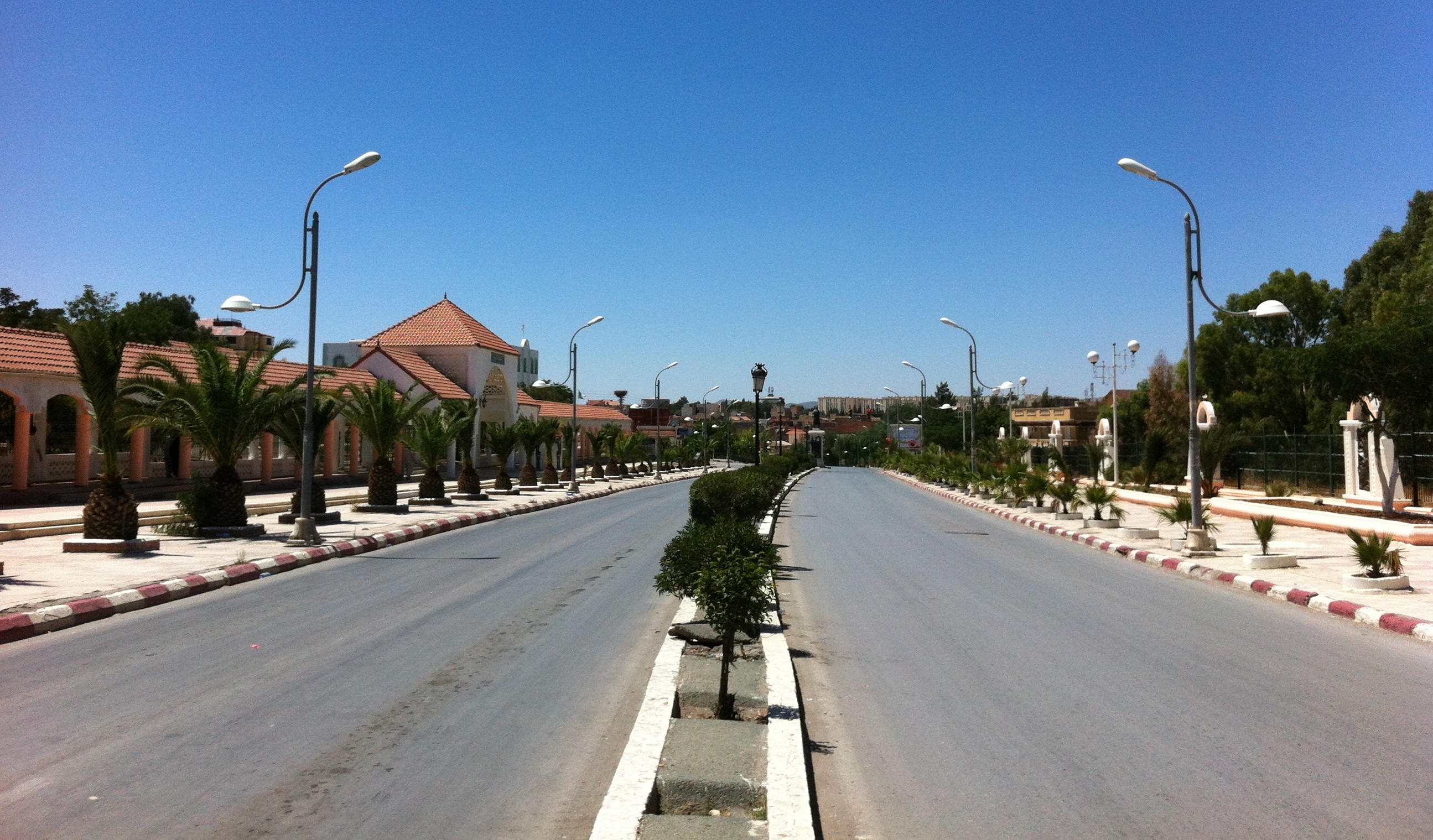


About Our Data
The data on this page is estimated using a number of publicly available tools and resources. It is provided without warranty, and could contain inaccuracies. Use at your own risk.