Hammaguir Facts
| Local Time | |
| Timezone | Central European Standard Time |
| Lat & Lng | 30.89258, -3.03399 |
Map of Hammaguir
Interactive Map
Recent Nearby Earthquakes
Magnitude 3.0 and greater
| Date▼ | Time↕ | Magnitude↕ | Distance↕ | Depth↕ | Location↕ | Link |
|---|---|---|---|---|---|---|
| 5/12/94 | 11:58 PM | 4 | 98.9 km | 10,000 m | Morocco | usgs.gov |
| 5/7/94 | 8:49 AM | 4.2 | 98.8 km | 10,000 m | Morocco | usgs.gov |
Source: U.S. Geological Survey (USGS)
Hammaguir
Hammaguir (also written Hamaguir) is a village in Abadla District, Béchar Province, Algeria, south-west of Béchar. It lies on the N50 national highway between Béchar and Tindouf. The location is notable for its role in French rocketry. Airport is lo..
Hammaguir Wikipedia Page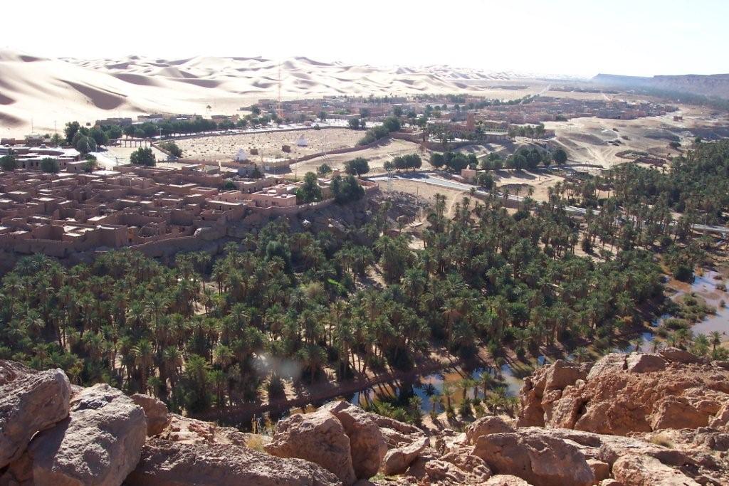


About Our Data
The data on this page is estimated using a number of publicly available tools and resources. It is provided without warranty, and could contain inaccuracies. Use at your own risk.