Rabta Facts
| Local Time | |
| Timezone | Central European Standard Time |
| Lat & Lng | 35.92423, 4.75143 |
| Postal Codes | 34035 |
Map of Rabta
Interactive Map
Recent Nearby Earthquakes
Magnitude 3.0 and greater
| Date▼ | Time↕ | Magnitude↕ | Distance↕ | Depth↕ | Location↕ | Link |
|---|---|---|---|---|---|---|
| 6/10/19 | 1:26 PM | 4.1 | 45.7 km | 36,970 m | 39km S of Bordj Ghdir, Algeria | usgs.gov |
| 7/20/18 | 9:32 AM | 4.2 | 72 km | 10,000 m | 21km ENE of Bougaa, Algeria | usgs.gov |
| 1/29/17 | 8:55 AM | 4.6 | 35.6 km | 10,000 m | 9km NNE of Mansourah, Algeria | usgs.gov |
| 11/5/16 | 8:43 PM | 4.2 | 66.8 km | 10,000 m | 16km WSW of Melouza, Algeria | usgs.gov |
| 7/15/15 | 7:38 AM | 3.8 | 33.2 km | 10,000 m | 4km SSE of M'Sila, Algeria | usgs.gov |
| 3/17/15 | 9:14 PM | 4.4 | 84.4 km | 10,000 m | 5km N of Ras el Aioun, Algeria | usgs.gov |
| 5/26/13 | 4:00 PM | 5 | 97.9 km | 10,000 m | 8km ESE of Bejaia, Algeria | usgs.gov |
| 3/16/13 | 9:49 AM | 4.4 | 81.9 km | 10,000 m | 2km WNW of Ras el Aioun, Algeria | usgs.gov |
| 6/3/12 | 2:57 PM | 4 | 81 km | 10,000 m | northern Algeria | usgs.gov |
| 4/5/12 | 4:56 AM | 4.6 | 33.5 km | 1,000 m | northern Algeria | usgs.gov |
Source: U.S. Geological Survey (USGS)
Rabta
Rabta is a town and commune in Bordj Bou Arréridj Province, Algeria. According to the 1998 census it has a population of 10,529.
Rabta Wikipedia Page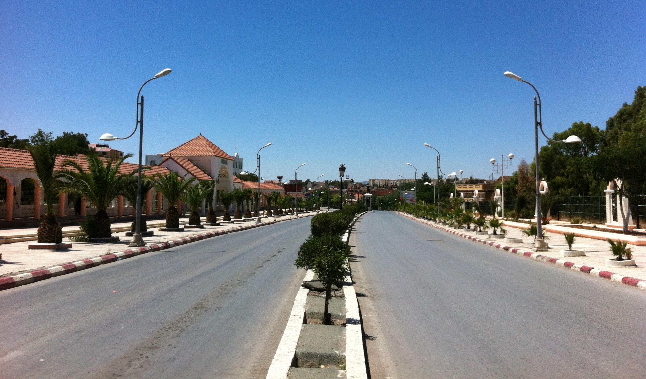


About Our Data
The data on this page is estimated using a number of publicly available tools and resources. It is provided without warranty, and could contain inaccuracies. Use at your own risk.