Sidi Chami Facts
| Local Time | |
| Timezone | Central European Standard Time |
| Lat & Lng | 35.65903, -0.52168 |
Map of Sidi Chami
Interactive Map
Recent Nearby Earthquakes
Magnitude 3.0 and greater
| Date▼ | Time↕ | Magnitude↕ | Distance↕ | Depth↕ | Location↕ | Link |
|---|---|---|---|---|---|---|
| 3/20/14 | 11:27 PM | 4.2 | 27.9 km | 13,960 m | 12km NW of Ain el Bya, Algeria | usgs.gov |
| 5/2/13 | 6:55 PM | 4.2 | 42.9 km | 17,300 m | 20km ESE of Ain el Bya, Algeria | usgs.gov |
| 3/21/12 | 6:41 AM | 4.2 | 8.7 km | 24,400 m | northern Algeria | usgs.gov |
| 10/17/08 | 12:08 AM | 3.8 | 40 km | 0 m | northern Algeria | usgs.gov |
| 10/15/08 | 5:49 PM | 3.6 | 13.9 km | 0 m | northern Algeria | usgs.gov |
| 9/30/08 | 3:28 AM | 3.2 | 9.7 km | 10,000 m | northern Algeria | usgs.gov |
| 8/29/08 | 7:41 PM | 3.1 | 31.8 km | 0 m | northern Algeria | usgs.gov |
| 8/26/08 | 1:11 AM | 3.8 | 3.4 km | 10,000 m | northern Algeria | usgs.gov |
| 8/25/08 | 2:15 AM | 3.7 | 8 km | 10,000 m | northern Algeria | usgs.gov |
| 7/24/08 | 5:19 PM | 4.9 | 41.2 km | 22,000 m | northern Algeria | usgs.gov |
Source: U.S. Geological Survey (USGS)
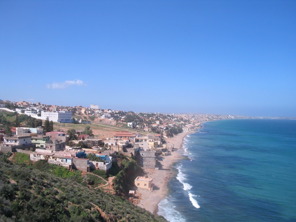
Sidi Chami
Sidi Chami is a town and commune in Oran Province, Algeria. In 1998, it has a population of 58,857.
Sidi Chami Wikipedia Page

About Our Data
The data on this page is estimated using a number of publicly available tools and resources. It is provided without warranty, and could contain inaccuracies. Use at your own risk.