Map of Tadjmout
Interactive Map
Recent Nearby Earthquakes
Magnitude 3.0 and greater
| Date▼ | Time↕ | Magnitude↕ | Distance↕ | Depth↕ | Location↕ | Link |
|---|---|---|---|---|---|---|
| 5/18/12 | 1:12 PM | 4.5 | 63 km | 10,000 m | northern Algeria | usgs.gov |
| 6/1/04 | 1:39 AM | 3.7 | 37.1 km | 10,000 m | northern Algeria | usgs.gov |
| 10/31/89 | 4:16 AM | 3.6 | 58.8 km | 10,000 m | northern Algeria | usgs.gov |
| 4/20/50 | 5:19 PM | 5.4 | 34.7 km | 15,000 m | northern Algeria | usgs.gov |
Source: U.S. Geological Survey (USGS)
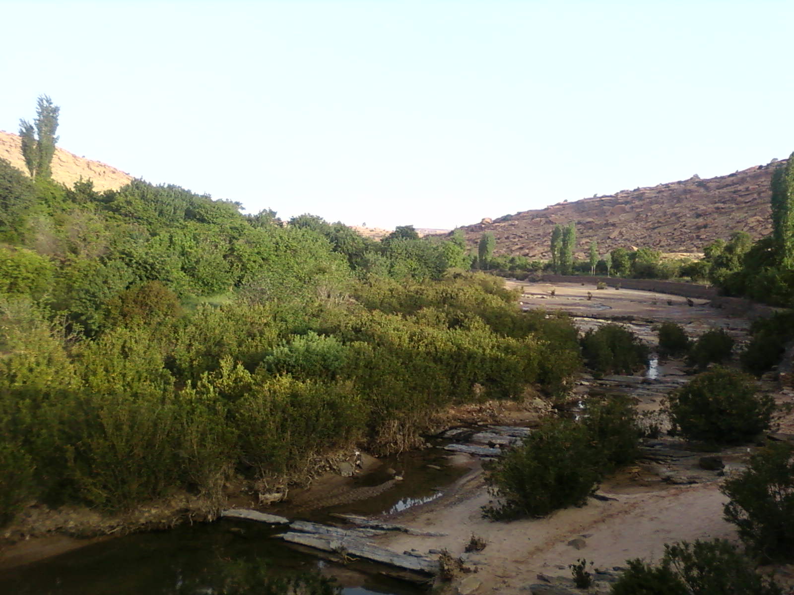
Tadjmout
Tadjmout is a settlement in the Sahara Desert of northern central Algeria. The closest countries to it are Moroco and Tunisia. It is on the very edge of the Sahara desert and has a population of less than 1000 people and has an altitude of 891 metre..
Tadjmout Wikipedia Page

About Our Data
The data on this page is estimated using a number of publicly available tools and resources. It is provided without warranty, and could contain inaccuracies. Use at your own risk.