Categories in Tipaza
Industries
Business Distribution by Industry in Tipaza
| Industry Description | Number of Establishments | Average Google Rating |
|---|---|---|
| Shopping | 15 | 4 |
| Restaurants | 14 | 3.9 |
| Education | 12 | 3.7 |
| Travel agencies | 12 | 3.8 |
Tipaza Facts
| Area | 62.1 km² |
| Population | 28,868 |
| Male Population | 14,545 (50.4%) |
| Female Population | 14,323 (49.6%) |
| Population change (1975 to 2020) | +212.0% |
| Population change (2000 to 2020) | +28.7% |
| Median Age | 27.8 years (Male: 27.9, Female: 27.8) |
| Area Codes | 24 |
| Neighborhoods | Chenoua, cité Oued Merzoug, Mazafran, Aïn Naadja, Télégraphe |
| Local Time | |
| Timezone | Central European Standard Time |
| Lat & Lng | 36.58972, 2.44750 |
Map of Tipaza
Interactive Map
Tipaza Population
Years 1975 to 2020
| Data | 1975 | 1990 | 2000 | 2015 | 2020 |
|---|---|---|---|---|---|
| Population | 9,253 | 18,055 | 22,433 | 27,177 | 28,868 |
| Population Density | 148.9 / km² | 290.6 / km² | 361.1 / km² | 437.5 / km² | 464.7 / km² |
Tipaza Population change from 2000 to 2015
Increase of 21.1% from year 2000 to 2015
| Location | Change since 1975 | Change since 1990 | Change since 2000 |
|---|---|---|---|
| Tipaza | +193.7% | +50.5% | +21.1% |
| Tipaza Province | +369.6% | +110.6% | +50.4% |
| Algeria | +137.8% | +53.3% | +27.3% |
Tipaza Median Age
Median Age: 27.8 years
| Location | Median Age | Median Age (Female) | Median Age (Male) |
|---|---|---|---|
| Tipaza | 27.8 yrs | 27.8 yrs | 27.9 yrs |
| Tipaza Province | 26.7 yrs | 26.8 yrs | 26.6 yrs |
| Algeria | 25.1 yrs | 25.3 yrs | 24.9 yrs |
Tipaza Population Density
Population Density: 465 / km²
| Location | Population | Area | Density |
|---|---|---|---|
| Tipaza | 28,868 | 62.1 km² | 465 / km² |
| Tipaza Province | 1.3 million | 1,973.3 km² | 654 / km² |
| Algeria | 39.5 million | 2,312,254.9 km² | 17.1 / km² |
Tipaza Historical and Projected Population
Estimated Population from 0 to 2100
- JRC (European Commission's Joint Research Centre) work on the GHS built-up grid
- CIESIN (Center for International Earth Science Information Network)
- [Link] Klein Goldewijk, K., Beusen, A., Doelman, J., and Stehfest, E.: Anthropogenic land use estimates for the Holocene – HYDE 3.2, Earth Syst. Sci. Data, 9, 927–953, https://doi.org/10.5194/essd-9-927-2017, 2017.
Neighborhoods in Tipaza
Percentage of businesses by neighborhood in Tipaza
Area Codes
Percentage Area Codes used by businesses in Tipaza
Price Distribution
Business distribution by price for Tipaza
Human Development Index (HDI)
Statistic composite index of life expectancy, education, and per capita income.
Tipaza CO2 Emissions
Carbon Dioxide (CO2) Emissions Per Capita in Tonnes Per Year
| Location | CO2 Emissions | CO2 Emissions Per Capita | CO2 Emissions Intensity |
|---|---|---|---|
| Tipaza | 44,242 tn | 1.53 tn | 712.1 tons/km² |
| Tipaza Province | 2,667,150 tn | 2.07 tn | 1,351.6 tons/km² |
| Algeria | 69,721,458 tn | 1.77 tn | 30.2 tons/km² |
| 2013 CO2 emissions (tonnes/year) | 44,242 tn |
| 2013 CO2 emissions (tonnes/year) per capita | 1.53 tn |
| 2013 CO2 emissions intensity (tonnes/km²/year) | 712.1 tons/km² |
Natural Hazards Risk
Relative risk out of 10
| Hazard | Risk Level |
|---|---|
| Drought | Medium (5.3) |
| Flood | Medium (7) |
| Earthquake | Medium (4.7) |
* Risk, particularly concerning flood or landslide, may not be for the entire area.
- Dilley, M., R.S. Chen, U. Deichmann, A.L. Lerner-Lam, M. Arnold, J. Agwe, P. Buys, O. Kjekstad, B. Lyon, and G. Yetman. 2005. Natural Disaster Hotspots: A Global Risk Analysis. Washington, D.C.: World Bank. https://doi.org/10.1596/0-8213-5930-4.
- Center for Hazards and Risk Research - CHRR - Columbia University, Center for International Earth Science Information Network - CIESIN - Columbia University, and International Research Institute for Climate and Society - IRI - Columbia University. 2005. Global Drought Hazard Frequency and Distribution. Palisades, NY: NASA Socioeconomic Data and Applications Center (SEDAC). https://doi.org/10.7927/H4VX0DFT.
- Center for Hazards and Risk Research - CHRR - Columbia University, Center for International Earth Science Information Network - CIESIN - Columbia University. 2005. Global Flood Hazard Frequency and Distribution. Palisades, NY: NASA Socioeconomic Data and Applications Center (SEDAC). https://doi.org/10.7927/H4668B3D.
- Center for Hazards and Risk Research - CHRR - Columbia University, Center for International Earth Science Information Network - CIESIN - Columbia University. 2005. Global Earthquake Hazard Distribution - Peak Ground Acceleration. Palisades, NY: NASA Socioeconomic Data and Applications Center (SEDAC). https://doi.org/10.7927/H4BZ63ZS.
Recent Nearby Earthquakes
Magnitude 3.0 and greater
| Date▼ | Time↕ | Magnitude↕ | Distance↕ | Depth↕ | Location↕ | Link |
|---|---|---|---|---|---|---|
| 1/8/18 | 4:20 PM | 4.5 | 11.1 km | 10,000 m | 6km ESE of Hadjout, Algeria | usgs.gov |
| 1/2/18 | 8:59 PM | 4.7 | 24.6 km | 8,260 m | 11km SW of El Affroun, Algeria | usgs.gov |
| 6/11/16 | 10:57 PM | 4.1 | 11.7 km | 10,000 m | 11km WNW of Tipasa, Algeria | usgs.gov |
| 2/1/15 | 11:38 PM | 4.2 | 48.4 km | 10,000 m | 1km NNW of Bouinan, Algeria | usgs.gov |
| 2/1/15 | 8:06 PM | 4.7 | 51.8 km | 19,050 m | 5km SSE of Bouinan, Algeria | usgs.gov |
| 12/21/14 | 5:53 PM | 4.4 | 46.1 km | 21,400 m | 4km E of Boufarik, Algeria | usgs.gov |
| 12/19/14 | 11:06 AM | 4.6 | 48.2 km | 10,000 m | 1km NNW of Bouinan, Algeria | usgs.gov |
| 11/23/11 | 3:32 AM | 3.4 | 43.5 km | 16,400 m | northern Algeria | usgs.gov |
| 5/20/10 | 1:01 PM | 3.8 | 38.5 km | 10,000 m | northern Algeria | usgs.gov |
| 10/12/08 | 1:20 AM | 3.2 | 22.1 km | 0 m | northern Algeria | usgs.gov |
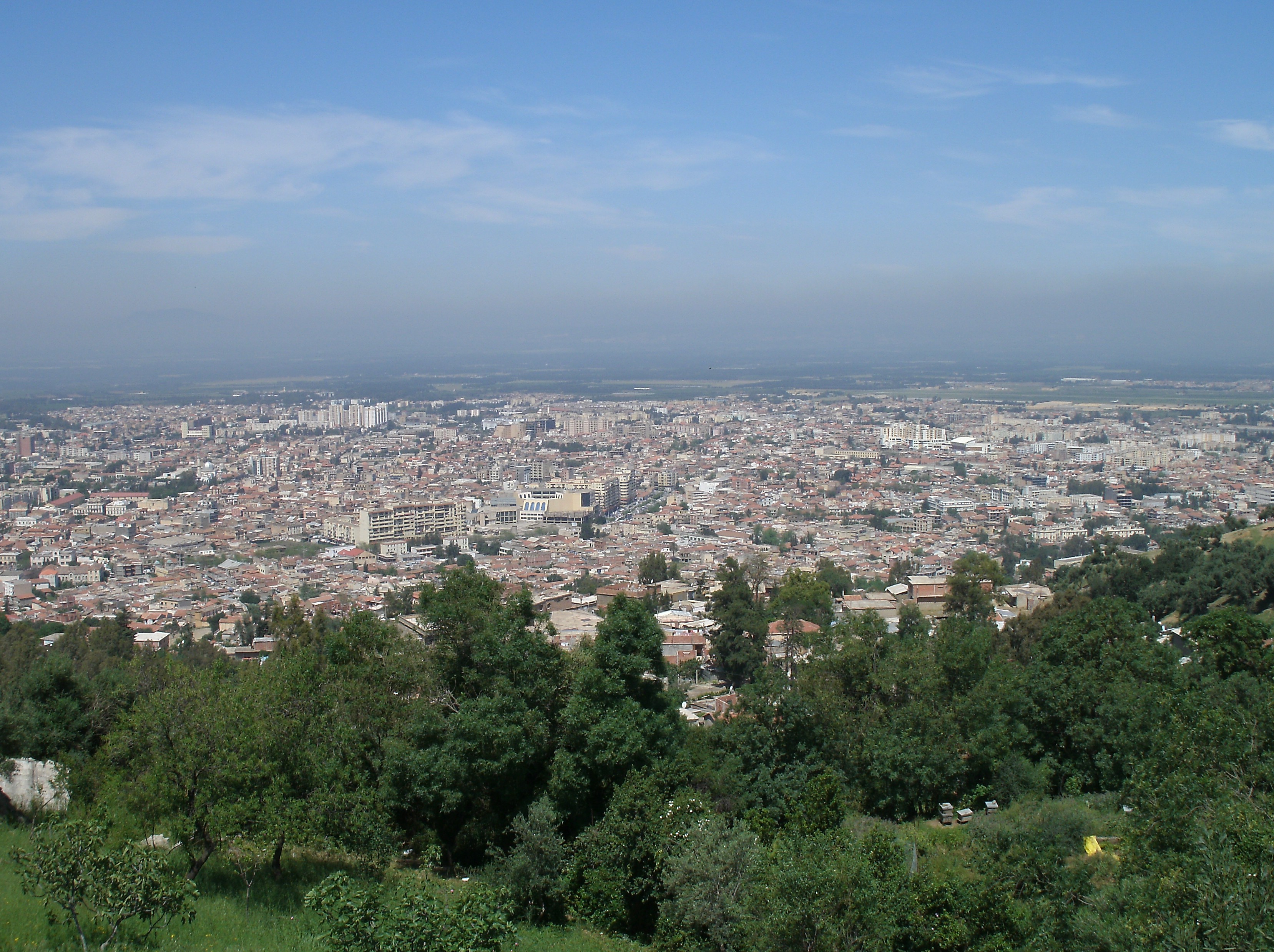
Tipaza
Tipaza (formerly Tefessedt, Chenoua: Bazar, Arabic: تيپازة) is a Berber-speaking town on the coast of Algeria, capital of the Tipaza Province. When it was part of the Roman Empire, it was called Tipasa. The modern town, founded in 1857, is remarkab..
Tipaza Wikipedia Page

About Our Data
The data on this page is estimated using a number of publicly available tools and resources. It is provided without warranty, and could contain inaccuracies. Use at your own risk.