Categories in Guápulo
Map of Guápulo
Interactive Map
Price Distribution
Business distribution by price for Guápulo
Recent Nearby Earthquakes
Magnitude 3.0 and greater
| Date▼ | Time↕ | Magnitude↕ | Distance↕ | Depth↕ | Location↕ | Link |
|---|---|---|---|---|---|---|
| 12/15/18 | 9:11 PM | 4.9 | 68.6 km | 57,250 m | 66km W of Otavalo, Ecuador | usgs.gov |
| 9/20/18 | 5:54 PM | 4.3 | 98.8 km | 83,860 m | 17km NNE of La Mana, Ecuador | usgs.gov |
| 6/3/18 | 1:51 AM | 3.5 | 7.5 km | 22,280 m | 13km NE of Quito, Ecuador | usgs.gov |
| 5/22/18 | 1:36 PM | 5 | 77.3 km | 33,370 m | 28km NW of Cotacachi, Ecuador | usgs.gov |
| 4/3/18 | 1:15 AM | 4.3 | 5.3 km | 5,000 m | 4km N of Quito, Ecuador | usgs.gov |
| 1/25/18 | 3:02 PM | 4.5 | 91.9 km | 10,000 m | 30km SE of Pimampiro, Ecuador | usgs.gov |
| 10/23/17 | 9:40 AM | 3.5 | 95.7 km | 10,000 m | 26km NW of Santo Domingo de los Colorados, Ecuador | usgs.gov |
| 5/25/17 | 8:43 AM | 3.6 | 3.7 km | 10,000 m | 8km NE of Quito, Ecuador | usgs.gov |
| 9/5/16 | 12:22 AM | 4.7 | 17.5 km | 10,000 m | 23km ENE of Quito, Ecuador | usgs.gov |
| 8/9/16 | 4:23 AM | 4.4 | 17.4 km | 9,130 m | 22km NE of Sangolqui, Ecuador | usgs.gov |
Source: U.S. Geological Survey (USGS)
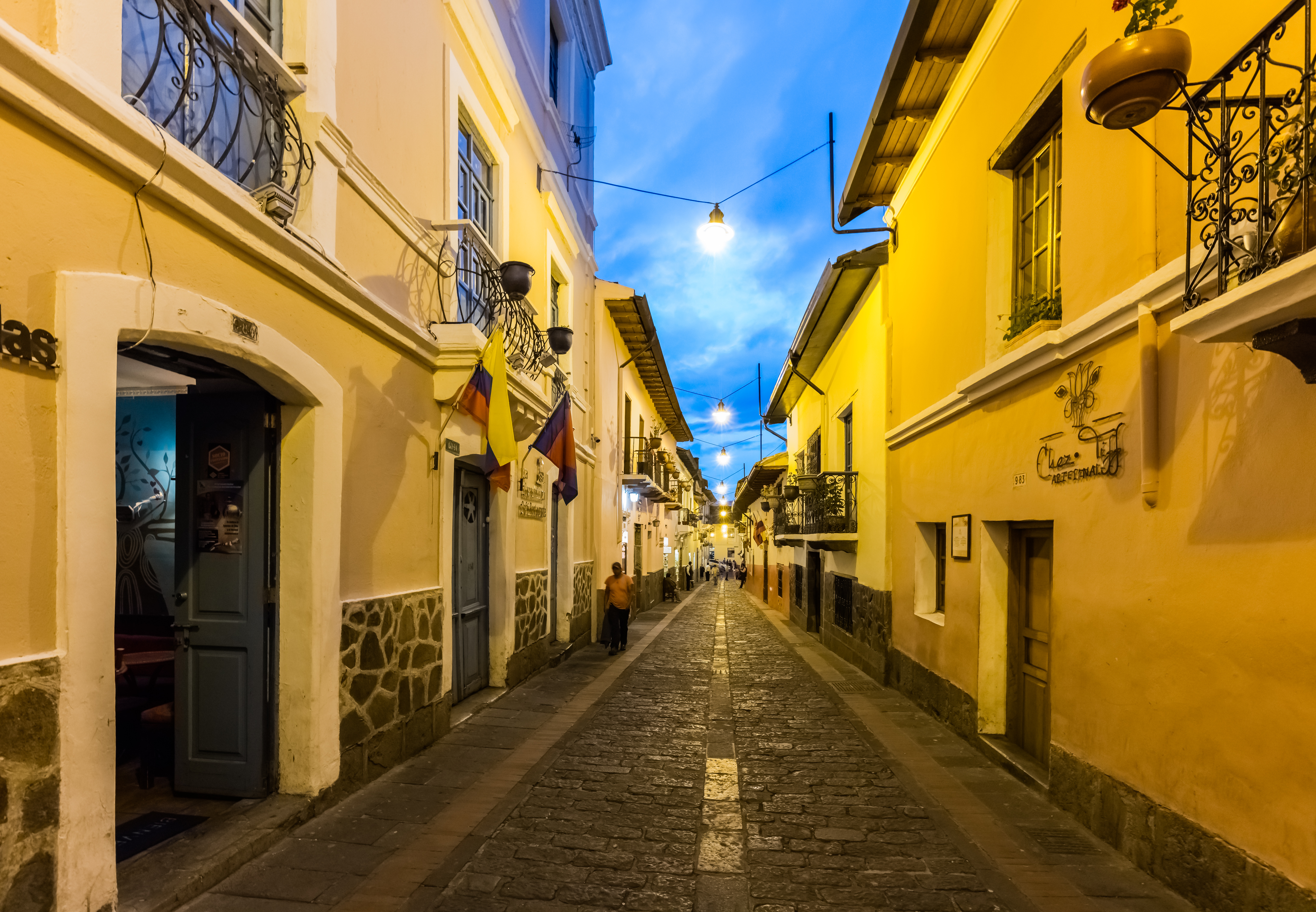
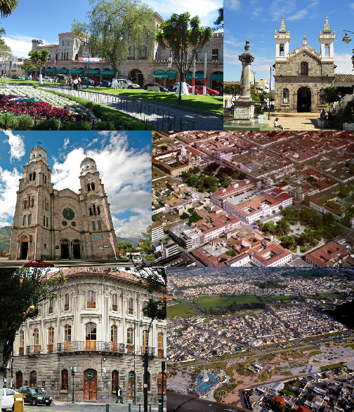
Guápulo
is a district of Quito, Ecuador, also called an electoral parish (parroquia electoral urbana). The parish was established as a result of the October 2004 political elections when the city was divided into 19 urban electoral parishes. Set behind Hot..
Guápulo Wikipedia Page

About Our Data
The data on this page is estimated using a number of publicly available tools and resources. It is provided without warranty, and could contain inaccuracies. Use at your own risk.