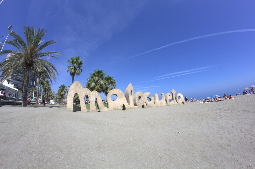
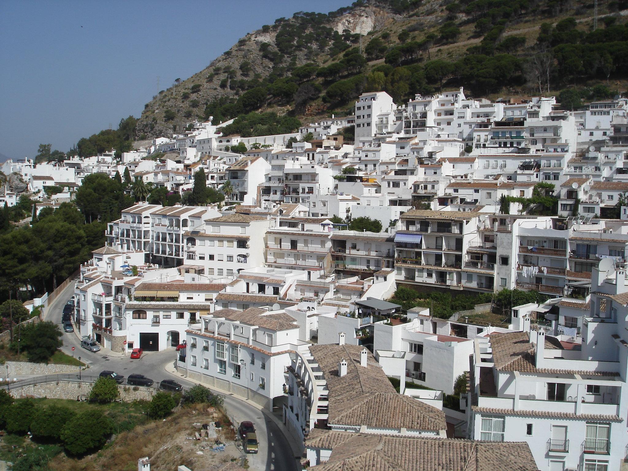
Categories in Cártama
Industries
Business Distribution by Industry in Cártama
| Industry Description | Number of Establishments |
|---|---|
| Restaurants | 54 |
| Real estate | 30 |
| Other accommodation | 29 |
| Shopping | 28 |
| Grocery stores and supermarkets | 27 |
| Bars, pubs and taverns | 26 |
| Corporate management | 22 |
| Construction of houses | 17 |
| Gas station | 17 |
| Education | 17 |
| Shopping other | 16 |
| Household appliances and goods | 15 |
| Wholesale of construction supplies | 13 |
| Car repair | 13 |
Cártama Facts
| Area | 0.4 km² |
| Population | 1,947 |
| Male Population | 997 (51.2%) |
| Female Population | 950 (48.8%) |
| Population change (1975 to 2020) | +17.5% |
| Population change (2000 to 2020) | +17.4% |
| Median Age | 35.4 years (Male: 35.4, Female: 35.4) |
| Neighborhoods | Campanillas, Puerto de la Torre, Cruz de Humilladero |
| Local Time | |
| Timezone | Central European Summer Time |
| Lat & Lng | 36.71068, -4.63297 |
Map of Cártama
Interactive Map
Cártama Population
Years 1975 to 2020
| Data | 1975 | 1990 | 2000 | 2015 | 2020 |
|---|---|---|---|---|---|
| Population | 1,657 | 1,739 | 1,659 | 1,882 | 1,947 |
| Population Density | 3,787.4 / km² | 3,974.9 / km² | 3,792 / km² | 4,301.7 / km² | 4,450.3 / km² |
Cártama Population change from 2000 to 2015
Increase of 13.4% from year 2000 to 2015
| Location | Change since 1975 | Change since 1990 | Change since 2000 |
|---|---|---|---|
| Cártama | +13.6% | +8.2% | +13.4% |
| Spain | +28.4% | +17.7% | +13.2% |
Cártama Median Age
Median Age: 35.4 years
| Location | Median Age | Median Age (Female) | Median Age (Male) |
|---|---|---|---|
| Cártama | 35.4 yrs | 35.4 yrs | 35.4 yrs |
| Spain | 40.8 yrs | 42 yrs | 39.7 yrs |
Cártama Population Density
Population Density: 4,450 / km²
| Location | Population | Area | Density |
|---|---|---|---|
| Cártama | 1,947 | 0.438 km² | 4,450 / km² |
| Spain | 45.3 million | 505,993.5 km² | 89.5 / km² |
Cártama Historical and Projected Population
Estimated Population from 0 to 2100
- JRC (European Commission's Joint Research Centre) work on the GHS built-up grid
- CIESIN (Center for International Earth Science Information Network)
- [Link] Klein Goldewijk, K., Beusen, A., Doelman, J., and Stehfest, E.: Anthropogenic land use estimates for the Holocene – HYDE 3.2, Earth Syst. Sci. Data, 9, 927–953, https://doi.org/10.5194/essd-9-927-2017, 2017.
Area Codes
Percentage Area Codes used by businesses in Cártama
Postal Codes
Percentage of businesses by Postal Codes in Cártama
Price Distribution
Business distribution by price for Cártama
Human Development Index (HDI)
Statistic composite index of life expectancy, education, and per capita income.
Cártama CO2 Emissions
Carbon Dioxide (CO2) Emissions Per Capita in Tonnes Per Year
| Location | CO2 Emissions | CO2 Emissions Per Capita | CO2 Emissions Intensity |
|---|---|---|---|
| Cártama | 13,119 tn | 6.74 tn | 29,986.2 tons/km² |
| Spain | 330,097,501 tn | 7.29 tn | 652.4 tons/km² |
| 2013 CO2 emissions (tonnes/year) | 13,119 tn |
| 2013 CO2 emissions (tonnes/year) per capita | 6.74 tn |
| 2013 CO2 emissions intensity (tonnes/km²/year) | 29,986.2 tons/km² |
Natural Hazards Risk
Relative risk out of 10
| Hazard | Risk Level |
|---|---|
| Drought | High (9) |
| Earthquake | Medium (4) |
* Risk, particularly concerning flood or landslide, may not be for the entire area.
- Dilley, M., R.S. Chen, U. Deichmann, A.L. Lerner-Lam, M. Arnold, J. Agwe, P. Buys, O. Kjekstad, B. Lyon, and G. Yetman. 2005. Natural Disaster Hotspots: A Global Risk Analysis. Washington, D.C.: World Bank. https://doi.org/10.1596/0-8213-5930-4.
- Center for Hazards and Risk Research - CHRR - Columbia University, Center for International Earth Science Information Network - CIESIN - Columbia University, and International Research Institute for Climate and Society - IRI - Columbia University. 2005. Global Drought Hazard Frequency and Distribution. Palisades, NY: NASA Socioeconomic Data and Applications Center (SEDAC). https://doi.org/10.7927/H4VX0DFT.
- Center for Hazards and Risk Research - CHRR - Columbia University, Center for International Earth Science Information Network - CIESIN - Columbia University. 2005. Global Earthquake Hazard Distribution - Peak Ground Acceleration. Palisades, NY: NASA Socioeconomic Data and Applications Center (SEDAC). https://doi.org/10.7927/H4BZ63ZS.
Recent Nearby Earthquakes
Magnitude 3.0 and greater
| Date▼ | Time↕ | Magnitude↕ | Distance↕ | Depth↕ | Location↕ | Link |
|---|---|---|---|---|---|---|
| 6/17/18 | 7:47 AM | 3.7 | 56 km | 10,000 m | 6km SE of Villanueva de Tapia, Spain | usgs.gov |
| 2/9/15 | 10:02 AM | 3.8 | 40.4 km | 89,700 m | 22km SSE of Fuengirola, Spain | usgs.gov |
| 4/3/08 | 3:21 AM | 3 | 39.9 km | 91,200 m | Strait of Gibraltar | usgs.gov |
| 2/14/08 | 11:40 AM | 3.1 | 14.4 km | 69,600 m | Strait of Gibraltar | usgs.gov |
| 11/20/07 | 6:27 AM | 3.6 | 39.7 km | 69,900 m | Strait of Gibraltar | usgs.gov |
| 11/11/07 | 7:56 AM | 3 | 11.8 km | 62,500 m | Strait of Gibraltar | usgs.gov |
| 9/10/07 | 9:24 AM | 3.4 | 30.5 km | 54,600 m | Strait of Gibraltar | usgs.gov |
| 8/10/07 | 3:35 AM | 3.9 | 23.9 km | 65,600 m | Strait of Gibraltar | usgs.gov |
| 7/19/07 | 4:26 AM | 3 | 37.5 km | 54,600 m | Strait of Gibraltar | usgs.gov |
| 6/28/07 | 1:48 PM | 3.6 | 27.4 km | 84,200 m | Strait of Gibraltar | usgs.gov |

About Our Data
The data on this page is estimated using a number of publicly available tools and resources. It is provided without warranty, and could contain inaccuracies. Use at your own risk.