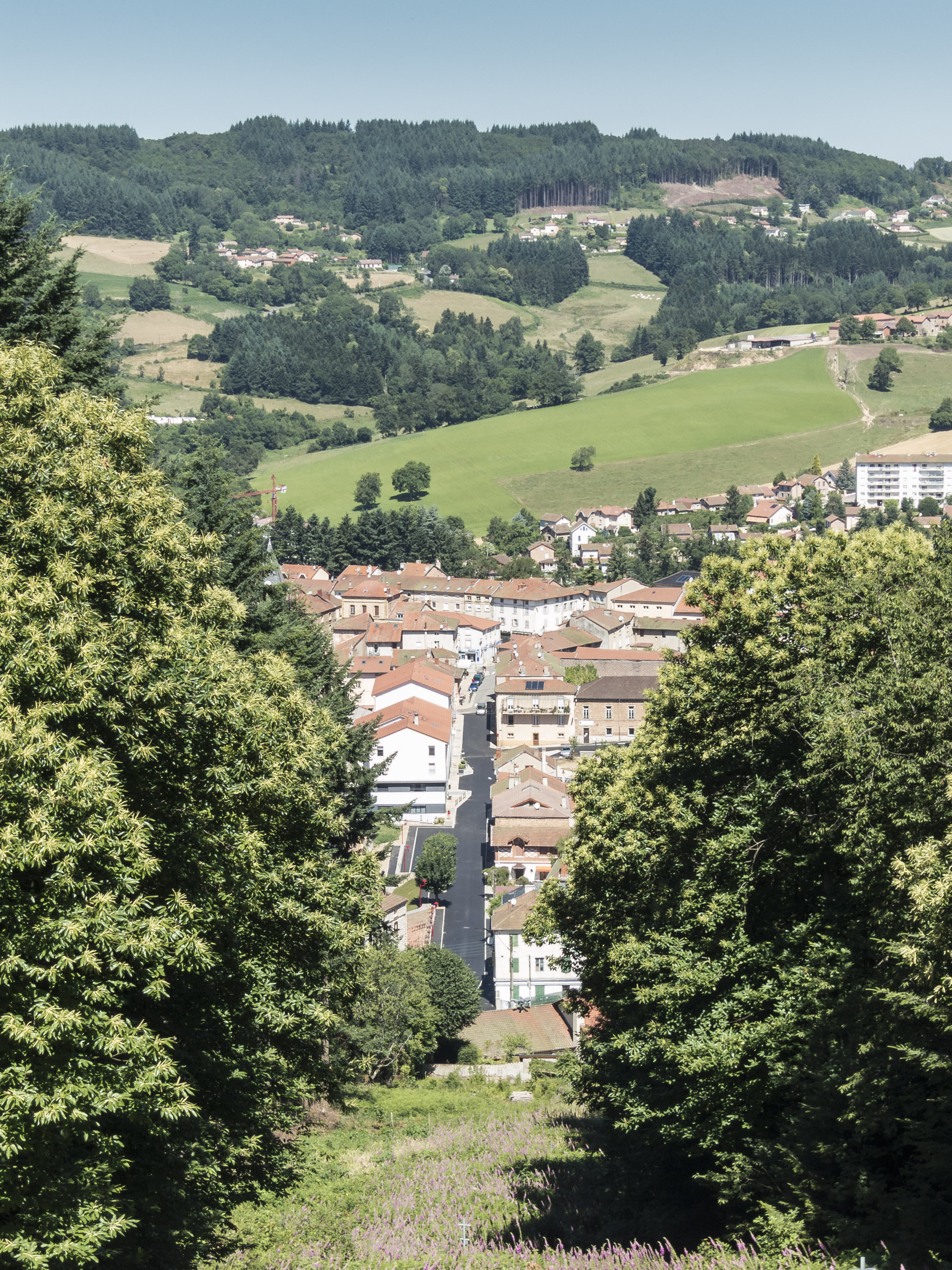
Categories in Amplepuis
Auto Machine ShopBody repairCar repairCar Repair and MaintenanceGas StationClothing storesAssociation or OrganizationShipping and Mailing ServiceShipping ServiceAppliance StoreEngineering ConsultantDriving schoolsBakeriesBars, pubs and tavernsButcher Shop DeliCatererGrocery stores and supermarketsPizzaRestaurantsAtm'sAuto insuranceBanksHome insuranceInsurance AgencyMedical insuranceMotorcycle Insurance AgencyDentistsHypnotherapy ServiceMidwivesNursing AgencyOpticians and eyewearOsteopathReflexologistBeauty salonsHair SalonManicures and pedicuresCorporate Entities & OfficesReal Estate AgencyResidential Property RentalsFloristsPharmacyShoppingSupermarketTobacco ShopSports clubUnreachable
Industries
Business Distribution by Industry in Amplepuis
| Industry Description | Number of Establishments | Average Age of Business |
|---|---|---|
| Grocery stores and supermarkets | 21 | 38 years |
| Shopping | 21 | — |
| Corporate management | 15 | 34 years |
| Beauty salons | 14 | — |
| Nurses | 14 | — |
| All food and beverage | 12 | — |
| Hairdressers | 12 | — |
| Clothing stores | 12 | — |
| Alternative medicine | 11 | — |
| Restaurants | 11 | — |
| Real estate | 11 | — |
| Car repair | 10 | — |
| Shopping other | 9 | — |
| Tractors and farm equipment | 8 | — |
| Financial services | 8 | — |
| Health and medical | 8 | — |
| Dentists | 8 | — |
Amplepuis Facts
| Area | 39.1 km² |
| Population | 5,221 |
| Male Population | 2,516 (48.2%) |
| Female Population | 2,705 (51.8%) |
| Population change (1975 to 2020) | +18.9% |
| Population change (2000 to 2020) | +7.9% |
| Median Age | 41.6 years (Male: 39.3, Female: 43.9) |
| Neighborhoods | Arrondissement 6E |
| Local Time | |
| Timezone | Central European Summer Time |
| Lat & Lng | 45.97259, 4.33160 |
Map of Amplepuis
Interactive Map
Amplepuis Population
Years 1975 to 2020
| Data | 1975 | 1990 | 2000 | 2015 | 2020 |
|---|---|---|---|---|---|
| Population | 4,390 | 4,668 | 4,837 | 5,177 | 5,221 |
| Population Density | 112.2 / km² | 119.3 / km² | 123.6 / km² | 132.3 / km² | 133.4 / km² |
Sources: JRC (European Commission's Joint Research Centre) work on the GHS built-up grid
Amplepuis Population change from 2000 to 2015
Increase of 7% from year 2000 to 2015
| Location | Change since 1975 | Change since 1990 | Change since 2000 |
|---|---|---|---|
| Amplepuis | +17.9% | +10.9% | +7% |
| France | +22.7% | +13.8% | +8.8% |
Sources: JRC (European Commission's Joint Research Centre) work on the GHS built-up grid
Amplepuis Median Age
Median Age: 41.6 years
| Location | Median Age | Median Age (Female) | Median Age (Male) |
|---|---|---|---|
| Amplepuis | 41.6 yrs | 43.9 yrs | 39.3 yrs |
| France | 39.6 yrs | 41 yrs | 38.1 yrs |
Sources: CIESIN (Center for International Earth Science Information Network)
Amplepuis Population Density
Population Density: 133 / km²
| Location | Population | Area | Density |
|---|---|---|---|
| Amplepuis | 5,221 | 39.1 km² | 133 / km² |
| France | 65.9 million | 638,022.5 km² | 103 / km² |
Sources: JRC (European Commission's Joint Research Centre) work on the GHS built-up grid
Amplepuis Historical and Projected Population
Estimated Population from 0 to 2100
Sources:
- JRC (European Commission's Joint Research Centre) work on the GHS built-up grid
- CIESIN (Center for International Earth Science Information Network)
- [Link] Klein Goldewijk, K., Beusen, A., Doelman, J., and Stehfest, E.: Anthropogenic land use estimates for the Holocene – HYDE 3.2, Earth Syst. Sci. Data, 9, 927–953, https://doi.org/10.5194/essd-9-927-2017, 2017.
Area Codes
Percentage Area Codes used by businesses in Amplepuis
Human Development Index (HDI)
Statistic composite index of life expectancy, education, and per capita income.
Source: [Link] Kummu, M., Taka, M. &Guillaume, J. Gridded global datasets for Gross Domestic Product and Human Development Index over 1990–2015. Sci Data 5, 180004 (2018) doi:10.1038/sdata.2018.4
Amplepuis CO2 Emissions
Carbon Dioxide (CO2) Emissions Per Capita in Tonnes Per Year
| Location | CO2 Emissions | CO2 Emissions Per Capita | CO2 Emissions Intensity |
|---|---|---|---|
| Amplepuis | 42,309 tn | 8.1 tn | 1,081.4 tons/km² |
| France | 485,797,691 tn | 7.38 tn | 761.4 tons/km² |
Sources: [Link] Moran, D., Kanemoto K; Jiborn, M., Wood, R., Többen, J., and Seto, K.C. (2018) Carbon footprints of 13,000 cities. Environmental Research Letters DOI: 10.1088/1748-9326/aac72a
Amplepuis CO2 Emissions
| 2013 CO2 emissions (tonnes/year) | 42,309 tn |
| 2013 CO2 emissions (tonnes/year) per capita | 8.1 tn |
| 2013 CO2 emissions intensity (tonnes/km²/year) | 1,081.4 tons/km² |
Natural Hazards Risk
Relative risk out of 10
| Hazard | Risk Level |
|---|---|
| Flood | High (10) |
| Earthquake | Low (2) |
* Risk, particularly concerning flood or landslide, may not be for the entire area.
Sources:
- Dilley, M., R.S. Chen, U. Deichmann, A.L. Lerner-Lam, M. Arnold, J. Agwe, P. Buys, O. Kjekstad, B. Lyon, and G. Yetman. 2005. Natural Disaster Hotspots: A Global Risk Analysis. Washington, D.C.: World Bank. https://doi.org/10.1596/0-8213-5930-4.
- Center for Hazards and Risk Research - CHRR - Columbia University, Center for International Earth Science Information Network - CIESIN - Columbia University. 2005. Global Flood Hazard Frequency and Distribution. Palisades, NY: NASA Socioeconomic Data and Applications Center (SEDAC). https://doi.org/10.7927/H4668B3D.
- Center for Hazards and Risk Research - CHRR - Columbia University, Center for International Earth Science Information Network - CIESIN - Columbia University. 2005. Global Earthquake Hazard Distribution - Peak Ground Acceleration. Palisades, NY: NASA Socioeconomic Data and Applications Center (SEDAC). https://doi.org/10.7927/H4BZ63ZS.
Recent Nearby Earthquakes
Magnitude 3.0 and greater
| Date▼ | Time↕ | Magnitude↕ | Distance↕ | Depth↕ | Location↕ | Link |
|---|---|---|---|---|---|---|
| 1/5/08 | 3:08 AM | 3 | 69.9 km | 2,000 m | France | usgs.gov |
| 1/11/06 | 10:32 AM | 4.1 | 86.1 km | 5,000 m | France | usgs.gov |
| 9/24/04 | 7:08 AM | 3 | 96.5 km | 6,000 m | France | usgs.gov |
| 2/28/04 | 10:59 PM | 3.7 | 99 km | 10,000 m | France | usgs.gov |
| 12/2/03 | 5:08 PM | 3.1 | 90.3 km | 8,000 m | France | usgs.gov |
| 7/25/02 | 6:01 PM | 3.5 | 30.5 km | 10,000 m | France | usgs.gov |
| 7/25/02 | 5:44 PM | 3.4 | 28.6 km | 10,000 m | France | usgs.gov |
| 11/5/01 | 8:53 AM | 3.4 | 65.8 km | 4,000 m | France | usgs.gov |
| 5/29/01 | 11:10 AM | 3 | 70 km | 6,000 m | France | usgs.gov |
| 4/5/00 | 8:38 AM | 3.4 | 63.1 km | 2,000 m | France | usgs.gov |
Source: U.S. Geological Survey (USGS)


About Our Data
The data on this page is estimated using a number of publicly available tools and resources. It is provided without warranty, and could contain inaccuracies. Use at your own risk.