Categories in Belgentier
Industries
Business Distribution by Industry in Belgentier
Belgentier Facts
| Area | 13.6 km² |
| Population | 3,000 |
| Male Population | 1,499 (50.0%) |
| Female Population | 1,501 (50.0%) |
| Population change (1975 to 2020) | +283.1% |
| Population change (2000 to 2020) | +66.9% |
| Median Age | 40.2 years (Male: 40.3, Female: 40.2) |
| Local Time | |
| Timezone | Central European Summer Time |
| Lat & Lng | 43.24594, 6.00095 |
| Postal Codes | 83210 |
Map of Belgentier
Interactive Map
Belgentier Population
Years 1975 to 2020
| Data | 1975 | 1990 | 2000 | 2015 | 2020 |
|---|---|---|---|---|---|
| Population | 783 | 1,302 | 1,797 | 2,907 | 3,000 |
| Population Density | 57.7 / km² | 96 / km² | 132.5 / km² | 214.3 / km² | 221.2 / km² |
Belgentier Population change from 2000 to 2015
Increase of 61.8% from year 2000 to 2015
| Location | Change since 1975 | Change since 1990 | Change since 2000 |
|---|---|---|---|
| Belgentier | +271.3% | +123.3% | +61.8% |
| France | +22.7% | +13.8% | +8.8% |
Belgentier Median Age
Median Age: 40.2 years
| Location | Median Age | Median Age (Female) | Median Age (Male) |
|---|---|---|---|
| Belgentier | 40.2 yrs | 40.2 yrs | 40.3 yrs |
| France | 39.6 yrs | 41 yrs | 38.1 yrs |
Belgentier Population Density
Population Density: 221 / km²
| Location | Population | Area | Density |
|---|---|---|---|
| Belgentier | 3,000 | 13.6 km² | 221 / km² |
| France | 65.9 million | 638,022.5 km² | 103 / km² |
Belgentier Historical and Projected Population
Estimated Population from 1200 to 2100
- JRC (European Commission's Joint Research Centre) work on the GHS built-up grid
- CIESIN (Center for International Earth Science Information Network)
- [Link] Klein Goldewijk, K., Beusen, A., Doelman, J., and Stehfest, E.: Anthropogenic land use estimates for the Holocene – HYDE 3.2, Earth Syst. Sci. Data, 9, 927–953, https://doi.org/10.5194/essd-9-927-2017, 2017.
Area Codes
Percentage Area Codes used by businesses in Belgentier
Price Distribution
Business distribution by price for Belgentier
Human Development Index (HDI)
Statistic composite index of life expectancy, education, and per capita income.
Belgentier CO2 Emissions
Carbon Dioxide (CO2) Emissions Per Capita in Tonnes Per Year
| Location | CO2 Emissions | CO2 Emissions Per Capita | CO2 Emissions Intensity |
|---|---|---|---|
| Belgentier | 24,052 tn | 8.02 tn | 1,773.4 tons/km² |
| France | 485,797,691 tn | 7.38 tn | 761.4 tons/km² |
| 2013 CO2 emissions (tonnes/year) | 24,052 tn |
| 2013 CO2 emissions (tonnes/year) per capita | 8.02 tn |
| 2013 CO2 emissions intensity (tonnes/km²/year) | 1,773.4 tons/km² |
Natural Hazards Risk
Relative risk out of 10
| Hazard | Risk Level |
|---|---|
| Flood | Medium (7) |
| Earthquake | Low (2) |
* Risk, particularly concerning flood or landslide, may not be for the entire area.
- Dilley, M., R.S. Chen, U. Deichmann, A.L. Lerner-Lam, M. Arnold, J. Agwe, P. Buys, O. Kjekstad, B. Lyon, and G. Yetman. 2005. Natural Disaster Hotspots: A Global Risk Analysis. Washington, D.C.: World Bank. https://doi.org/10.1596/0-8213-5930-4.
- Center for Hazards and Risk Research - CHRR - Columbia University, Center for International Earth Science Information Network - CIESIN - Columbia University. 2005. Global Flood Hazard Frequency and Distribution. Palisades, NY: NASA Socioeconomic Data and Applications Center (SEDAC). https://doi.org/10.7927/H4668B3D.
- Center for Hazards and Risk Research - CHRR - Columbia University, Center for International Earth Science Information Network - CIESIN - Columbia University. 2005. Global Earthquake Hazard Distribution - Peak Ground Acceleration. Palisades, NY: NASA Socioeconomic Data and Applications Center (SEDAC). https://doi.org/10.7927/H4BZ63ZS.
Recent Nearby Earthquakes
Magnitude 3.0 and greater
| Date▼ | Time↕ | Magnitude↕ | Distance↕ | Depth↕ | Location↕ | Link |
|---|---|---|---|---|---|---|
| 1/27/05 | 7:07 AM | 3.3 | 89.6 km | 15,000 m | western Mediterranean Sea | usgs.gov |
| 10/20/03 | 12:22 AM | 3 | 47.1 km | 1,000 m | near the south coast of France | usgs.gov |
| 8/23/03 | 5:04 AM | 3.1 | 47.9 km | 5,000 m | near the south coast of France | usgs.gov |
| 3/22/03 | 7:02 AM | 3.2 | 92.9 km | 800 m | near the south coast of France | usgs.gov |
| 8/22/00 | 2:44 AM | 3.4 | 70.5 km | 10,000 m | near the south coast of France | usgs.gov |
| 11/5/98 | 6:46 AM | 3.1 | 50.3 km | 1,000 m | near the south coast of France | usgs.gov |
| 11/2/98 | 5:32 PM | 3.1 | 89.6 km | 2,000 m | near the south coast of France | usgs.gov |
| 10/30/98 | 8:42 AM | 3.6 | 47.9 km | 1,000 m | near the south coast of France | usgs.gov |
| 9/11/98 | 4:26 AM | 3.4 | 44.1 km | 1,000 m | near the south coast of France | usgs.gov |
| 9/1/98 | 6:51 PM | 3 | 44.8 km | 1,000 m | near the south coast of France | usgs.gov |
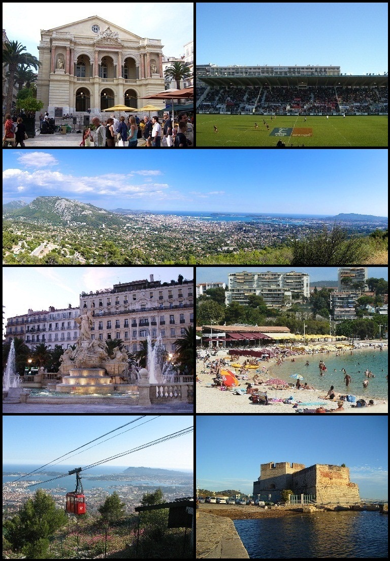
Belgentier
Belgentier is a commune in the Var department in the Provence-Alpes-Côte d'Azur region in southeastern France. was the birthplace of the astronomer, antiquary and savant, Nicolas-Claude Fabri de Peiresc (1580–1637).
Belgentier Wikipedia Page

About Our Data
The data on this page is estimated using a number of publicly available tools and resources. It is provided without warranty, and could contain inaccuracies. Use at your own risk.