Categories in Castelginest
Car Repair and MaintenanceClothing storesAssociation or OrganizationCity or Town HallGovernment OfficeShipping and Mailing ServiceShipping ServiceComputer ConsultantContractorElectricianHVAC ContractorPainting and paint contractorsPlumbing installation and repairRoofing contractorAdult Education SchoolCoachingEducation CenterStudent Career Counseling OfficeWebsite DesignerWedding PhotographerBakeriesButcherCatererFast food restaurantsGrocery stores and supermarketsPizzaRestaurantsClothing Alteration ServiceAccountantAtm'sAuto insuranceBanksFinancial ConsultantHolding CompanyHome insuranceInsuranceInsurance AgencyLife insuranceMotorcycle Insurance AgencySavings BankAlternative medicineDentistsHypnotherapy ServiceNursing AgencyOpticians and eyewearOsteopathPhysiotherapyPsychologistSpeech therapistsBeauty salonsHairdresserHair SalonManicures and pedicuresPersonal TrainerPet GroomerTattoo ShopBusiness Management ConsultantBusiness to Business ServiceHuman Resource ConsultingApartment ComplexReal Estate AgencyReal Estate AgentsReal Estate ConsultantResidential Property RentalsE-commerce ServiceGift ShopPharmacyTaxisTransportation logistics
Industries
Business Distribution by Industry in Castelginest
| Industry Description | Number of Establishments | Average Age of Business |
|---|---|---|
| Health and medical | 28 | — |
| Real estate | 26 | 15 years |
| Corporate management | 25 | — |
| Shopping | 24 | — |
| Dentists | 18 | — |
| Hairdressers | 17 | — |
| Beauty salons | 15 | — |
| Nurses | 15 | — |
| Other construction | 14 | — |
| Banks | 14 | — |
| Public administration | 13 | — |
| Speech therapists | 13 | — |
| Alternative medicine | 12 | — |
| Restaurants | 12 | — |
| Education | 12 | — |
| Car repair | 11 | — |
| Shopping other | 11 | — |
| Painting and paint contractors | 11 | — |
| Psychiatrists and psychotherapists | 11 | — |
Castelginest Facts
| Area | 8.1 km² |
| Population | 9,307 |
| Male Population | 4,501 (48.4%) |
| Female Population | 4,806 (51.6%) |
| Population change (1975 to 2020) | +50.7% |
| Population change (2000 to 2020) | +18.9% |
| Median Age | 39.9 years (Male: 38.3, Female: 41.3) |
| Neighborhoods | Montaudran - Lespinet |
| Local Time | |
| Timezone | Central European Summer Time |
| Lat & Lng | 43.69382, 1.43440 |
| Postal Codes | 31140, 31780 |
Map of Castelginest
Interactive Map
Castelginest Population
Years 1975 to 2020
| Data | 1975 | 1990 | 2000 | 2015 | 2020 |
|---|---|---|---|---|---|
| Population | 6,174 | 7,166 | 7,828 | 8,977 | 9,307 |
| Population Density | 765.8 / km² | 888.8 / km² | 970.9 / km² | 1,113.4 / km² | 1,154.4 / km² |
Sources: JRC (European Commission's Joint Research Centre) work on the GHS built-up grid
Castelginest Population change from 2000 to 2015
Increase of 14.7% from year 2000 to 2015
| Location | Change since 1975 | Change since 1990 | Change since 2000 |
|---|---|---|---|
| Castelginest | +45.4% | +25.3% | +14.7% |
| France | +22.7% | +13.8% | +8.8% |
Sources: JRC (European Commission's Joint Research Centre) work on the GHS built-up grid
Castelginest Median Age
Median Age: 39.9 years
| Location | Median Age | Median Age (Female) | Median Age (Male) |
|---|---|---|---|
| Castelginest | 39.9 yrs | 41.3 yrs | 38.3 yrs |
| France | 39.6 yrs | 41 yrs | 38.1 yrs |
Sources: CIESIN (Center for International Earth Science Information Network)
Castelginest Population Density
Population Density: 1,154 / km²
| Location | Population | Area | Density |
|---|---|---|---|
| Castelginest | 9,307 | 8.1 km² | 1,154 / km² |
| France | 65.9 million | 638,022.5 km² | 103 / km² |
Sources: JRC (European Commission's Joint Research Centre) work on the GHS built-up grid
Castelginest Historical and Projected Population
Estimated Population from 0 to 2100
Sources:
- JRC (European Commission's Joint Research Centre) work on the GHS built-up grid
- CIESIN (Center for International Earth Science Information Network)
- [Link] Klein Goldewijk, K., Beusen, A., Doelman, J., and Stehfest, E.: Anthropogenic land use estimates for the Holocene – HYDE 3.2, Earth Syst. Sci. Data, 9, 927–953, https://doi.org/10.5194/essd-9-927-2017, 2017.
Area Codes
Percentage Area Codes used by businesses in Castelginest
Price Distribution
Business distribution by price for Castelginest
Human Development Index (HDI)
Statistic composite index of life expectancy, education, and per capita income.
Source: [Link] Kummu, M., Taka, M. &Guillaume, J. Gridded global datasets for Gross Domestic Product and Human Development Index over 1990–2015. Sci Data 5, 180004 (2018) doi:10.1038/sdata.2018.4
Castelginest CO2 Emissions
Carbon Dioxide (CO2) Emissions Per Capita in Tonnes Per Year
| Location | CO2 Emissions | CO2 Emissions Per Capita | CO2 Emissions Intensity |
|---|---|---|---|
| Castelginest | 74,505 tn | 8.01 tn | 9,241 tons/km² |
| France | 485,797,691 tn | 7.38 tn | 761.4 tons/km² |
Sources: [Link] Moran, D., Kanemoto K; Jiborn, M., Wood, R., Többen, J., and Seto, K.C. (2018) Carbon footprints of 13,000 cities. Environmental Research Letters DOI: 10.1088/1748-9326/aac72a
Castelginest CO2 Emissions
| 2013 CO2 emissions (tonnes/year) | 74,505 tn |
| 2013 CO2 emissions (tonnes/year) per capita | 8.01 tn |
| 2013 CO2 emissions intensity (tonnes/km²/year) | 9,241 tons/km² |
Recent Nearby Earthquakes
Magnitude 3.0 and greater
| Date▼ | Time↕ | Magnitude↕ | Distance↕ | Depth↕ | Location↕ | Link |
|---|---|---|---|---|---|---|
| 7/18/04 | 2:16 AM | 3.8 | 91.7 km | 10,000 m | Pyrenees | usgs.gov |
| 9/21/01 | 8:17 AM | 3.3 | 14.9 km | 0 m | France | usgs.gov |
| 9/4/98 | 5:22 PM | 3.4 | 99.3 km | 2,000 m | Pyrenees | usgs.gov |
| 6/6/93 | 1:51 AM | 3.5 | 99.8 km | 14,200 m | France | usgs.gov |
| 12/11/87 | 8:33 PM | 3.3 | 55.4 km | 10,000 m | France | usgs.gov |
| 4/27/87 | 7:28 PM | 3 | 97.2 km | 10,000 m | Pyrenees | usgs.gov |
| 6/17/86 | 9:34 PM | 3.2 | 98.4 km | 10,000 m | Pyrenees | usgs.gov |
| 1/17/86 | 3:10 AM | 3 | 86.9 km | 10,000 m | France | usgs.gov |
| 10/2/85 | 1:41 PM | 3.8 | 74.7 km | 15,600 m | France | usgs.gov |
| 2/28/85 | 1:07 PM | 3.1 | 53.7 km | 10,000 m | France | usgs.gov |
Source: U.S. Geological Survey (USGS)
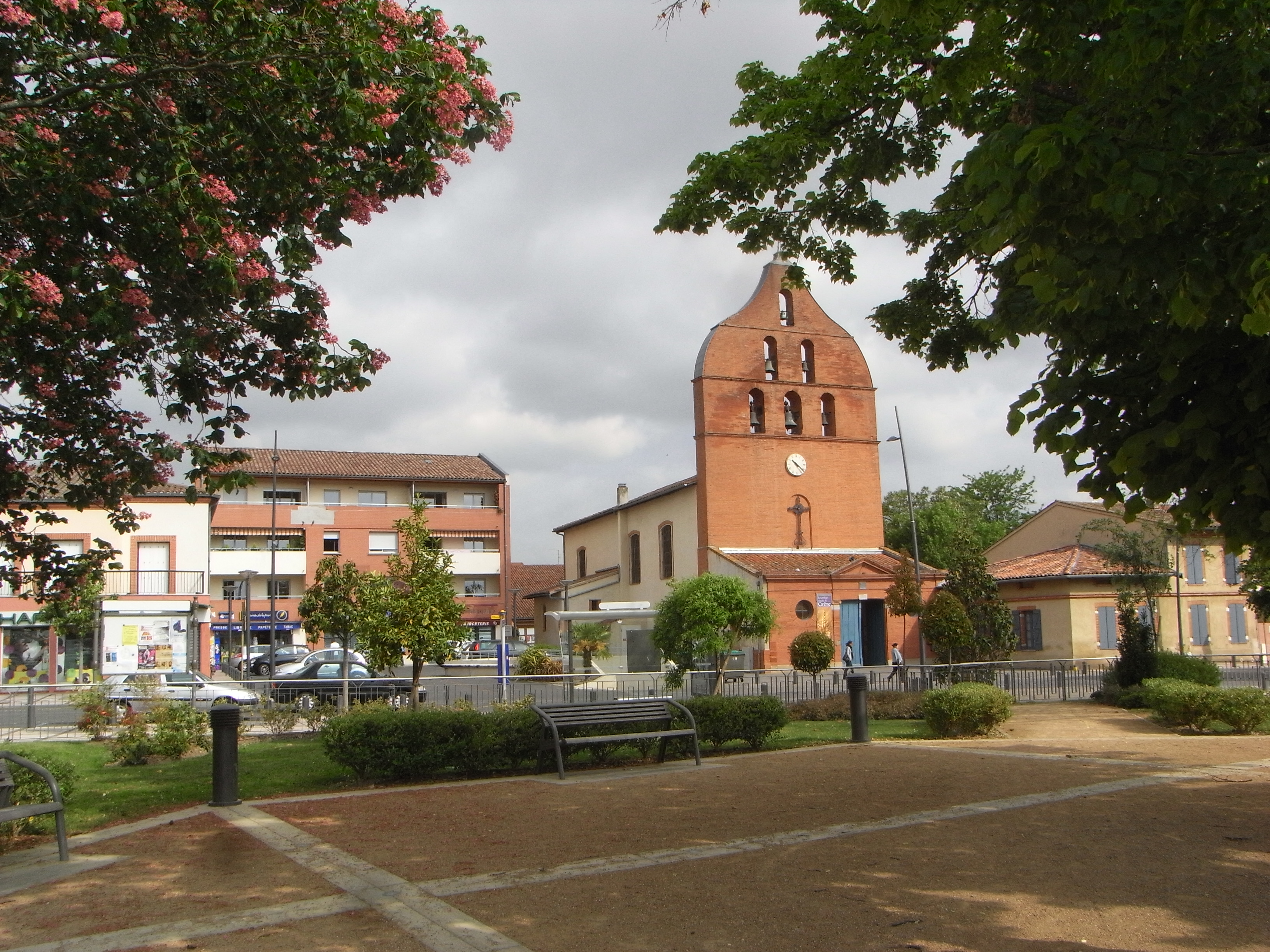
Castelginest
Castelginest is a commune in the Haute-Garonne department in southwestern France.
Castelginest Wikipedia Page


About Our Data
The data on this page is estimated using a number of publicly available tools and resources. It is provided without warranty, and could contain inaccuracies. Use at your own risk.