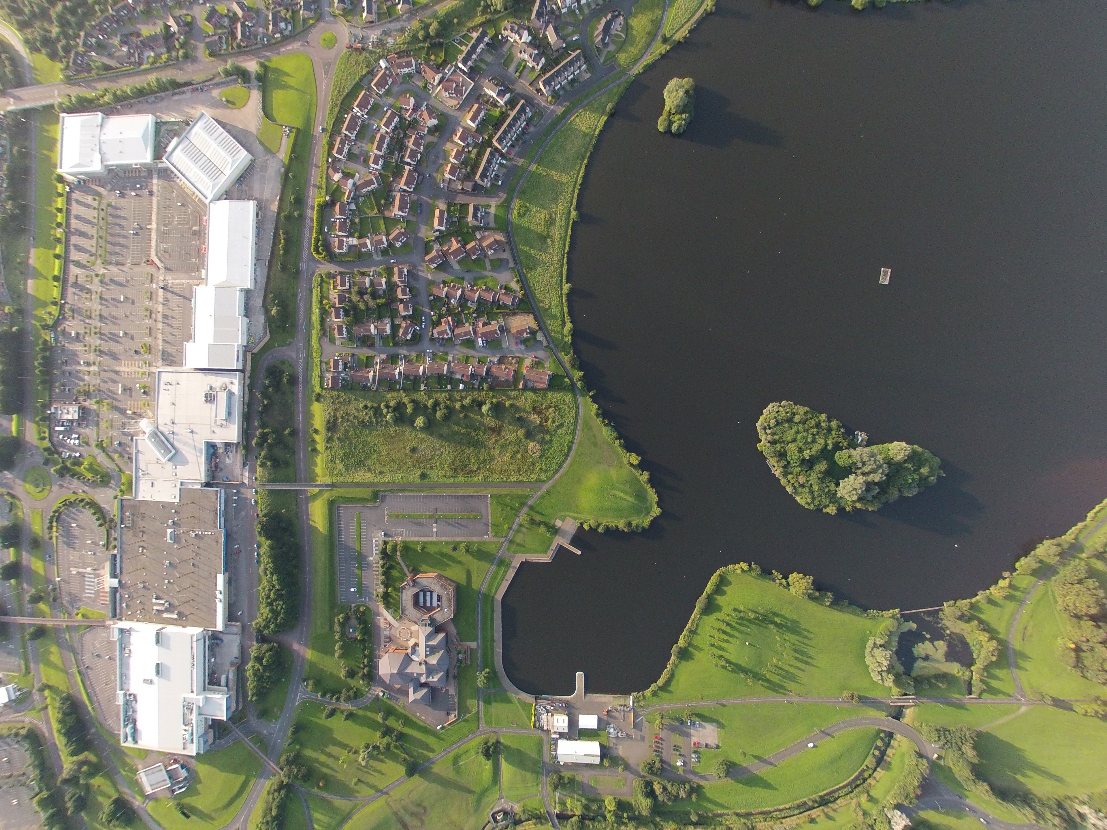
Map of Aghagallon
Interactive Map
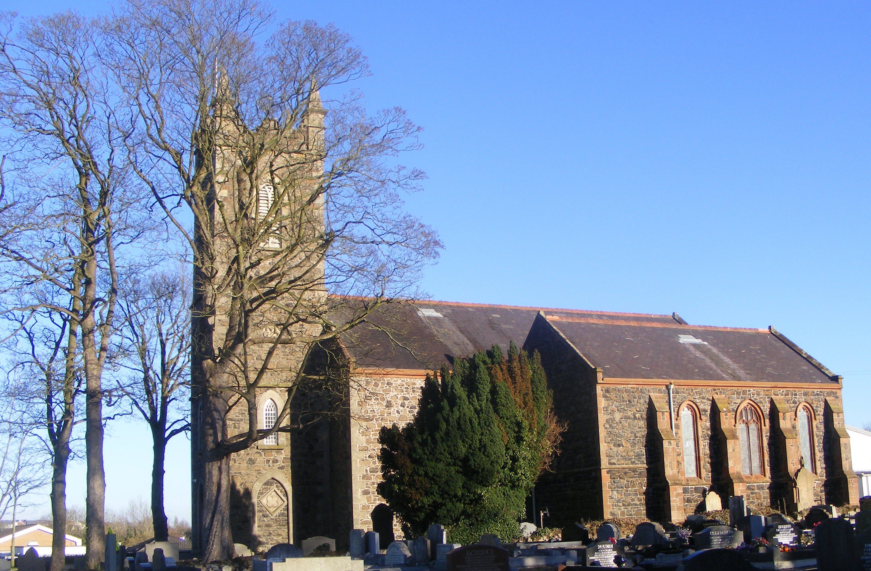
Aghagallon
(from Irish: Achadh Gallan, meaning "field of the standing stone") is a small village and civil parish in County Antrim, Northern Ireland. It is about three miles northeast of Lurgan and had a population of 824 in the 2001 Census. has mainly devel..
Aghagallon Wikipedia Page

About Our Data
The data on this page is estimated using a number of publicly available tools and resources. It is provided without warranty, and could contain inaccuracies. Use at your own risk.