Saughtree Facts
| Local Time | |
| Timezone | British Summer Time |
| Lat & Lng | 55.26282, -2.69228 |
| Postal Codes | TD9 |
Map of Saughtree
Interactive Map
Recent Nearby Earthquakes
Magnitude 3.0 and greater
| Date▼ | Time↕ | Magnitude↕ | Distance↕ | Depth↕ | Location↕ | Link |
|---|---|---|---|---|---|---|
| 12/26/06 | 10:40 AM | 3.6 | 63.2 km | 7,700 m | Scotland, United Kingdom | usgs.gov |
| 12/26/79 | 3:57 AM | 4.5 | 40.1 km | 10,000 m | England, United Kingdom | usgs.gov |
Source: U.S. Geological Survey (USGS)
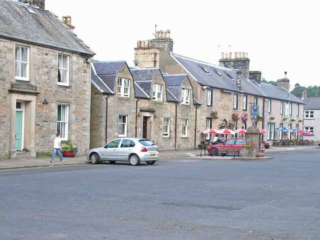
Saughtree
Saughtree is a hamlet in the Scottish Borders at the junction of the B6357 and an unnamed road from Kielder village in Northumberland, England. It is at the confluence of the River Liddle [Liddel Water] and Dawston Burn. The valley of the Liddle is k..
Saughtree Wikipedia Page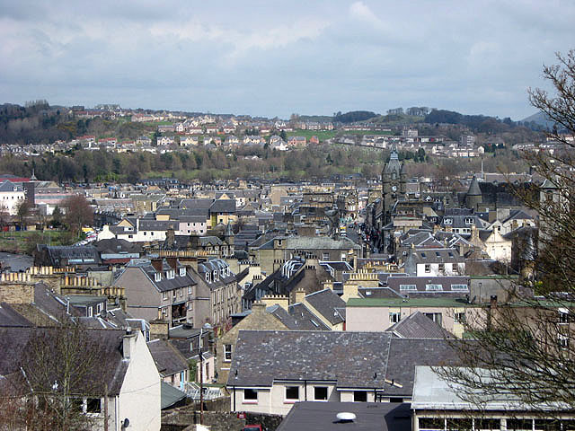

About Our Data
The data on this page is estimated using a number of publicly available tools and resources. It is provided without warranty, and could contain inaccuracies. Use at your own risk.