Upper La Tante Facts
| Local Time | |
| Timezone | Atlantic Standard Time |
| Lat & Lng | 12.05000, -61.65000 |
Map of Upper La Tante
Interactive Map
Recent Nearby Earthquakes
Magnitude 3.0 and greater
| Date▼ | Time↕ | Magnitude↕ | Distance↕ | Depth↕ | Location↕ | Link |
|---|---|---|---|---|---|---|
| 12/20/17 | 4:13 AM | 4.6 | 63.5 km | 60,900 m | 63km SE of Saint David's, Grenada | usgs.gov |
| 11/5/17 | 3:00 PM | 5.5 | 66.3 km | 47,220 m | 66km SE of Saint David's, Grenada | usgs.gov |
| 8/2/13 | 11:15 AM | 4.3 | 54.5 km | 129,199 m | 49km SSW of Saint George's, Grenada | usgs.gov |
| 2/18/12 | 2:22 AM | 4 | 27.2 km | 18,600 m | Grenada region, Windward Islands | usgs.gov |
| 8/30/08 | 7:22 AM | 3 | 64.1 km | 104,000 m | Grenada region, Windward Islands | usgs.gov |
| 8/25/08 | 3:25 PM | 4 | 65 km | 108,000 m | Saint Vincent region, Windward Islands | usgs.gov |
| 8/20/08 | 8:10 PM | 3.1 | 60.9 km | 36,000 m | Grenada region, Windward Islands | usgs.gov |
| 5/29/08 | 7:45 AM | 3.9 | 52.6 km | 119,200 m | Grenada region, Windward Islands | usgs.gov |
| 5/17/08 | 7:20 PM | 3.3 | 20.6 km | 98,000 m | Grenada region, Windward Islands | usgs.gov |
| 5/17/08 | 1:12 AM | 3.2 | 58 km | 23,000 m | Grenada region, Windward Islands | usgs.gov |
Source: U.S. Geological Survey (USGS)
Upper La Tante
Upper La Tante is a town in Saint David Parish, Grenada. It is located towards the southern end of the island.
Upper La Tante Wikipedia Page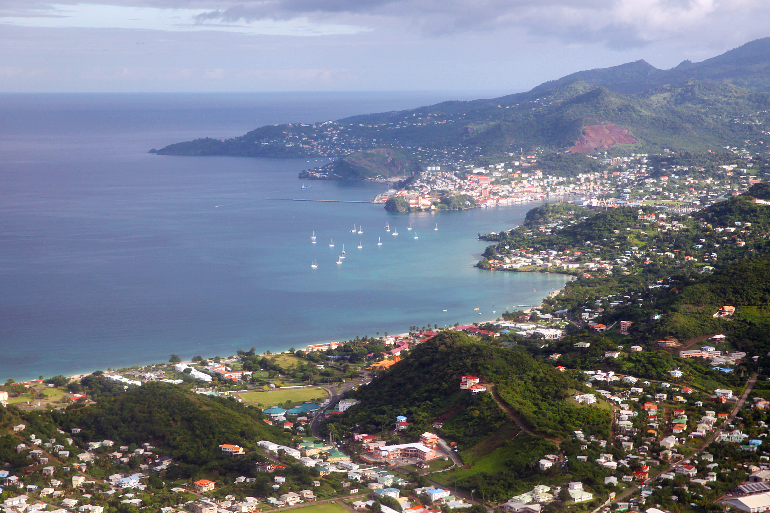


About Our Data
The data on this page is estimated using a number of publicly available tools and resources. It is provided without warranty, and could contain inaccuracies. Use at your own risk.