Industries
Business Distribution by Industry in Begoro
| Industry Description | Number of Establishments |
|---|---|
| Churches | 13 |
Begoro Facts
| Local Time | |
| Timezone | Greenwich Mean Time |
| Lat & Lng | 6.38706, -0.37738 |
Map of Begoro
Interactive Map
Recent Nearby Earthquakes
Magnitude 3.0 and greater
| Date▼ | Time↕ | Magnitude↕ | Distance↕ | Depth↕ | Location↕ | Link |
|---|---|---|---|---|---|---|
| 3/6/97 | 3:16 PM | 4.4 | 96.4 km | 10,000 m | Ghana | usgs.gov |
| 4/14/90 | 11:43 AM | 3.1 | 85.6 km | 10,000 m | Ghana | usgs.gov |
| 3/29/88 | 4:54 PM | 3.5 | 92.3 km | 10,000 m | Ghana | usgs.gov |
| 2/27/88 | 12:51 AM | 3.4 | 95.7 km | 10,000 m | Ghana | usgs.gov |
| 12/3/87 | 10:37 AM | 3.1 | 94.9 km | 10,000 m | Ghana | usgs.gov |
| 6/22/39 | 7:19 PM | 6.4 | 96.4 km | 15,000 m | Ghana | usgs.gov |
Source: U.S. Geological Survey (USGS)
Begoro
Begoro is a town and the capital of Fanteakwa district, a district in the Eastern Region of south Ghana. Begoro has a settlement population of 29,516 people, in 2013.
Begoro Wikipedia Page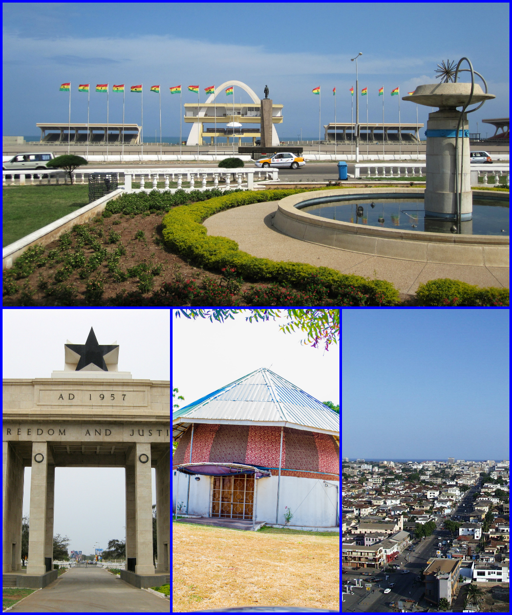


About Our Data
The data on this page is estimated using a number of publicly available tools and resources. It is provided without warranty, and could contain inaccuracies. Use at your own risk.