Kangerluk Facts
| Local Time | |
| Timezone | Greenland Summer Time |
| Lat & Lng | 69.48333, -53.95000 |
Map of Kangerluk
Interactive Map
Recent Nearby Earthquakes
Magnitude 3.0 and greater
| Date▼ | Time↕ | Magnitude↕ | Distance↕ | Depth↕ | Location↕ | Link |
|---|---|---|---|---|---|---|
| 5/9/16 | 3:47 PM | 4.4 | 36.7 km | 10,000 m | 59km NNW of Aasiaat, Greenland | usgs.gov |
| 4/17/16 | 4:17 PM | 4.5 | 43.3 km | 14,340 m | 53km NNW of Aasiaat, Greenland | usgs.gov |
| 4/6/16 | 1:34 AM | 4.7 | 38.4 km | 10,000 m | 58km NNW of Aasiaat, Greenland | usgs.gov |
| 4/5/16 | 10:32 PM | 4.5 | 38 km | 13,570 m | 58km NNW of Aasiaat, Greenland | usgs.gov |
| 8/20/10 | 8:52 PM | 4 | 25.1 km | 18,000 m | western Greenland | usgs.gov |
| 7/11/08 | 9:11 PM | 4.1 | 26.9 km | 10,000 m | western Greenland | usgs.gov |
| 6/14/07 | 8:30 PM | 4.3 | 62.8 km | 10,000 m | western Greenland | usgs.gov |
| 2/16/06 | 6:27 AM | 3.7 | 40.8 km | 10,000 m | western Greenland | usgs.gov |
| 2/16/06 | 2:42 AM | 3.6 | 22.6 km | 18,000 m | western Greenland | usgs.gov |
| 2/16/06 | 12:32 AM | 4 | 24.2 km | 18,000 m | western Greenland | usgs.gov |
Source: U.S. Geological Survey (USGS)
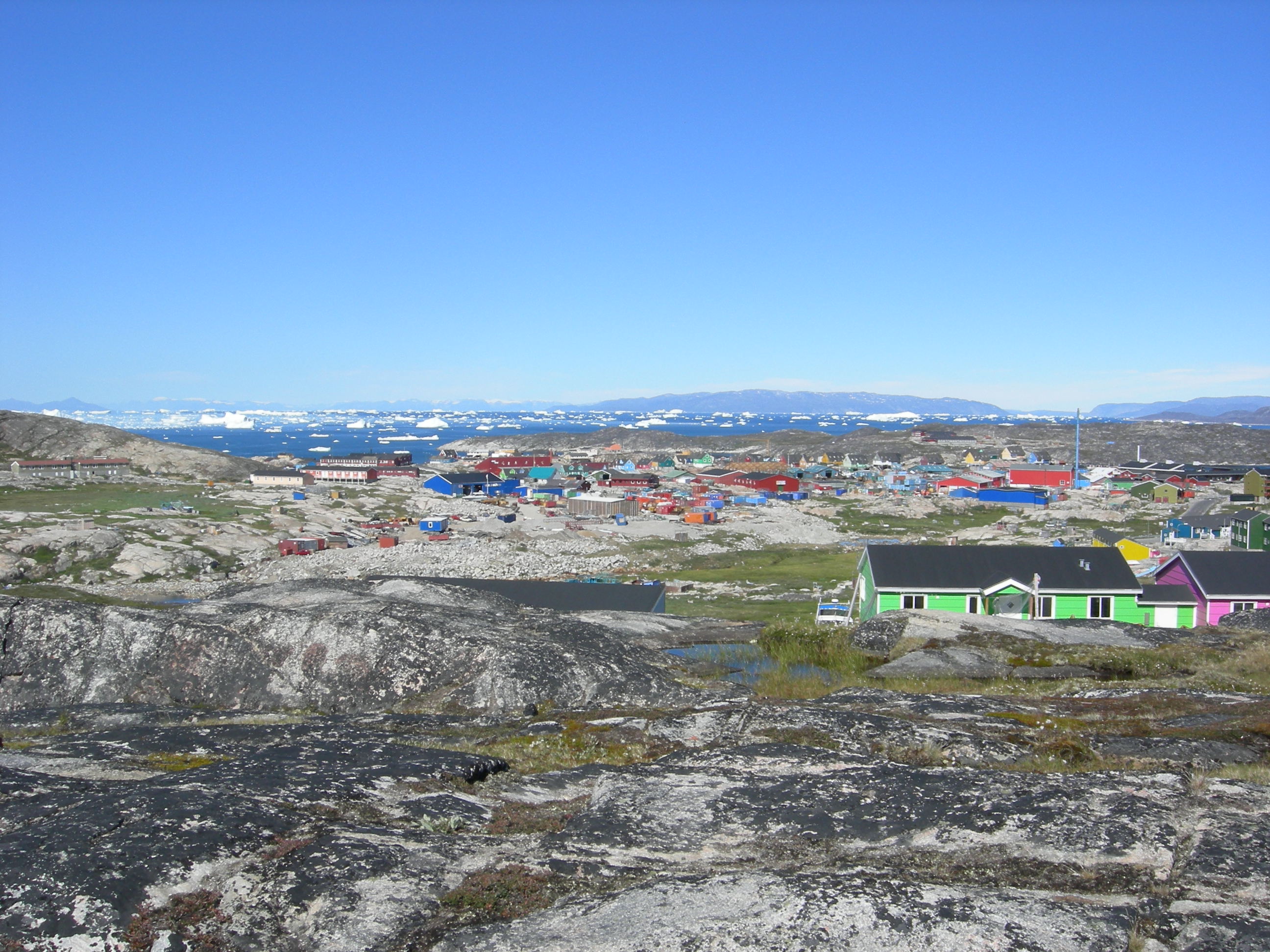
Kangerluk
Kangerluk (old spelling: Kangerdluk), also called Diskofjord, is a settlement in the Qaasuitsup municipality, in western Greenland, located on the southwestern shore of Disko Island. It had 33 inhabitants in 2010.
Kangerluk Wikipedia Page

About Our Data
The data on this page is estimated using a number of publicly available tools and resources. It is provided without warranty, and could contain inaccuracies. Use at your own risk.