Categories in Corinto
Corinto Facts
| Local Time | |
| Timezone | Central Standard Time |
| Lat & Lng | 15.58333, -88.36667 |
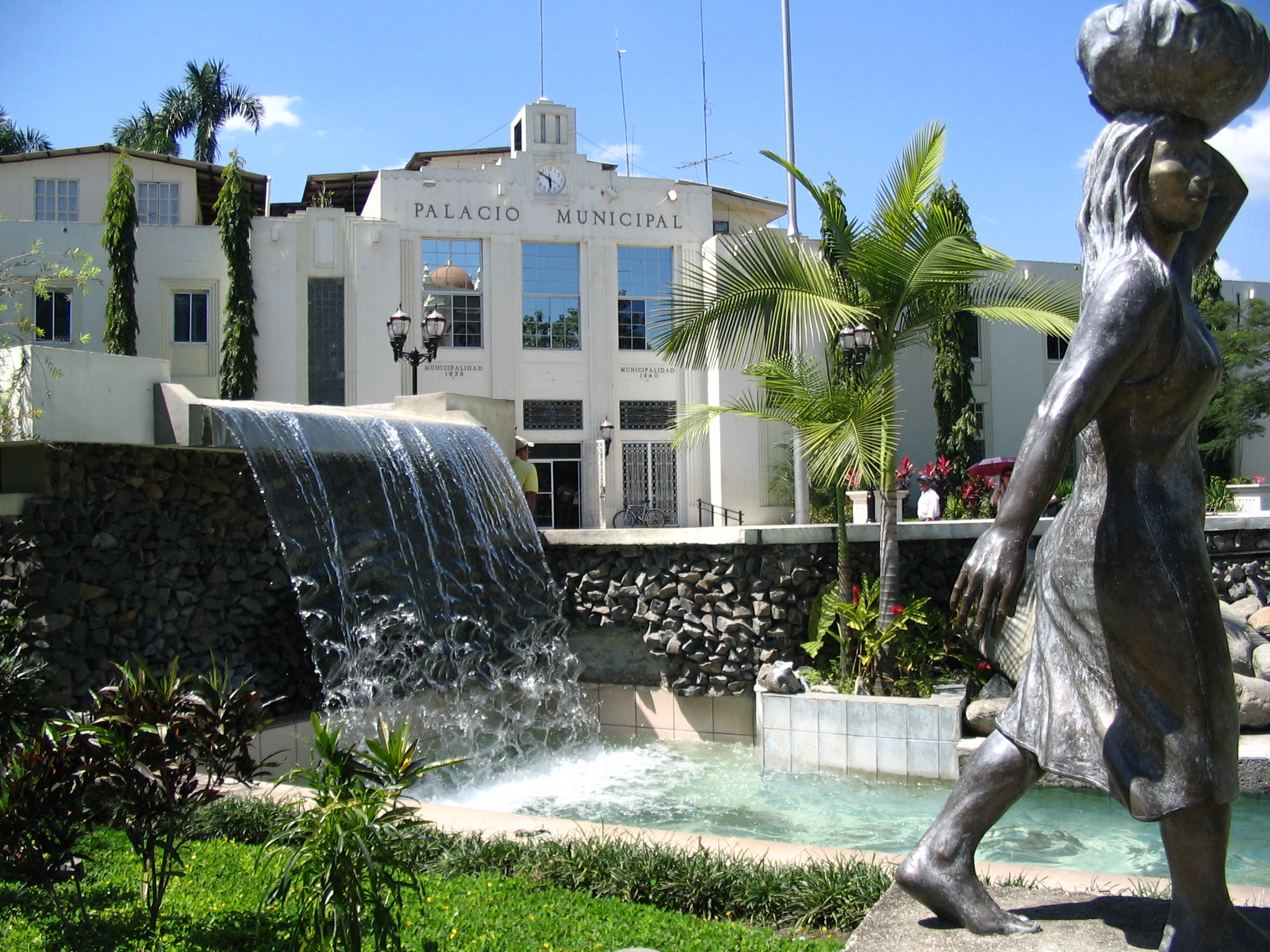
Map of Corinto
Interactive Map
Recent Nearby Earthquakes
Magnitude 3.0 and greater
| Date▼ | Time↕ | Magnitude↕ | Distance↕ | Depth↕ | Location↕ | Link |
|---|---|---|---|---|---|---|
| 2/17/19 | 9:02 AM | 3.8 | 93.2 km | 10,000 m | 16km NW of Tela, Honduras | usgs.gov |
| 2/18/18 | 1:42 PM | 4 | 57.5 km | 10,000 m | 6km W of El Progreso, Honduras | usgs.gov |
| 2/9/18 | 10:19 AM | 4.2 | 63.8 km | 10,000 m | 19km SSW of Morales, Guatemala | usgs.gov |
| 12/30/16 | 11:23 AM | 4.4 | 96 km | 22,600 m | 38km NNE of Baja Mar, Honduras | usgs.gov |
| 11/28/16 | 6:37 AM | 4.4 | 5.1 km | 10,000 m | 13km WSW of Potrerillos, Honduras | usgs.gov |
| 2/5/14 | 12:23 AM | 4.1 | 59.6 km | 9,710 m | 3km N of El Corozal, Honduras | usgs.gov |
| 8/24/13 | 6:59 PM | 4.6 | 97.3 km | 14,120 m | 11km SSE of Nueva Esperanza, Honduras | usgs.gov |
| 6/2/13 | 8:33 AM | 4.3 | 97.8 km | 10,000 m | offshore Honduras | usgs.gov |
| 4/12/13 | 3:24 AM | 4.1 | 83.8 km | 10,000 m | 7km ESE of Mezapa, Honduras | usgs.gov |
| 5/11/12 | 6:15 AM | 4.4 | 48.6 km | 8,000 m | Guatemala | usgs.gov |
Source: U.S. Geological Survey (USGS)

About Our Data
The data on this page is estimated using a number of publicly available tools and resources. It is provided without warranty, and could contain inaccuracies. Use at your own risk.