Ranquitte Facts
| Local Time | |
| Timezone | Eastern Daylight Time |
| Lat & Lng | 19.41667, -72.08333 |
| Postal Codes | HT 1430 |
Map of Ranquitte
Interactive Map
Recent Nearby Earthquakes
Magnitude 3.0 and greater
| Date▼ | Time↕ | Magnitude↕ | Distance↕ | Depth↕ | Location↕ | Link |
|---|---|---|---|---|---|---|
| 12/16/18 | 4:15 PM | 3.5 | 85.2 km | 10,000 m | 0km S of Thomazeau, Haiti | usgs.gov |
| 9/27/18 | 4:35 PM | 3.3 | 81.8 km | 10,000 m | 8km WSW of Villa Elisa, Dominican Republic | usgs.gov |
| 9/23/18 | 7:23 AM | 4.4 | 86.1 km | 10,000 m | 6km WNW of Villa Elisa, Dominican Republic | usgs.gov |
| 9/23/18 | 5:45 AM | 5.2 | 88.8 km | 19,820 m | 4km S of Villa Elisa, Dominican Republic | usgs.gov |
| 9/2/17 | 8:14 PM | 4.3 | 49.6 km | 9,360 m | 9km WSW of Thomonde, Haiti | usgs.gov |
| 1/2/16 | 3:25 PM | 4.5 | 70.7 km | 35,850 m | 4km NNW of Castanuelas, Dominican Republic | usgs.gov |
| 6/26/13 | 3:40 AM | 4.4 | 98.6 km | 2,800 m | Dominican Republic | usgs.gov |
| 2/26/13 | 12:39 AM | 3.6 | 71.5 km | 10,000 m | 10km SW of Mirebalais, Haiti | usgs.gov |
| 12/27/12 | 9:44 PM | 4 | 52.5 km | 5,400 m | Dominican Republic region | usgs.gov |
| 3/25/12 | 10:39 PM | 3.6 | 98.1 km | 10,000 m | Haiti region | usgs.gov |
Source: U.S. Geological Survey (USGS)
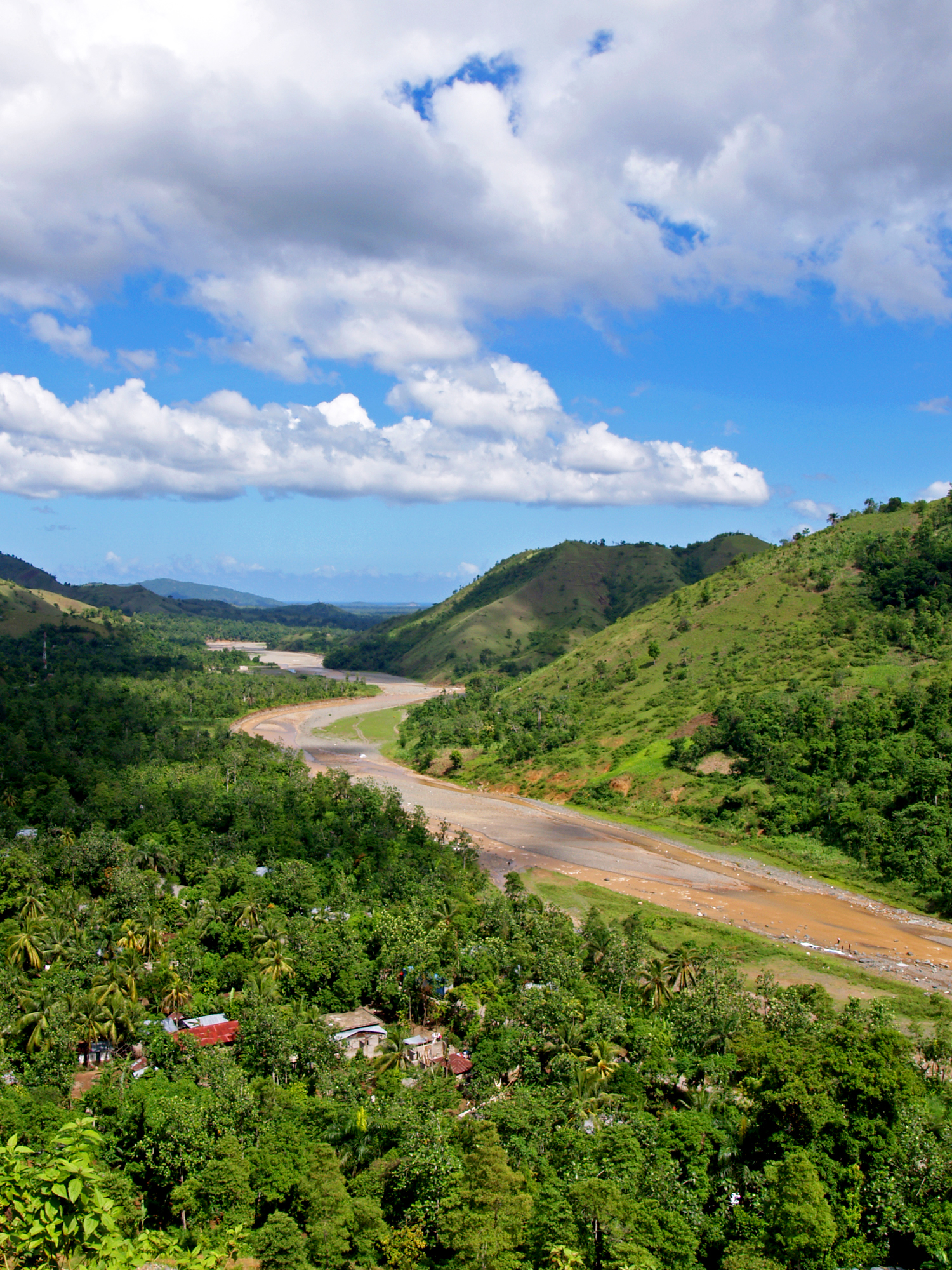
Ranquitte
Ranquitte (Haitian Creole: Rankit) is a commune in the Saint-Raphaël Arrondissement, in the Nord Department of Haiti. It has 18,197 inhabitants. school in Haiti is the Spady-Calhoun school named partly in honor of one of its benefactors, Dr. Steven ..
Ranquitte Wikipedia Page


About Our Data
The data on this page is estimated using a number of publicly available tools and resources. It is provided without warranty, and could contain inaccuracies. Use at your own risk.