Alas (East Timor) Facts
| Area Codes | 37 |
| Local Time | |
| Timezone | Timor-Leste Time |
| Lat & Lng | -9.02072, 125.78573 |
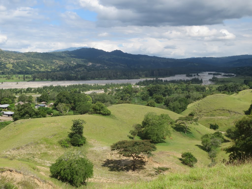
Map of Alas (East Timor)
Interactive Map
Price Distribution
Business distribution by price for Alas (East Timor)
Recent Nearby Earthquakes
Magnitude 3.0 and greater
| Date▼ | Time↕ | Magnitude↕ | Distance↕ | Depth↕ | Location↕ | Link |
|---|---|---|---|---|---|---|
| 3/13/19 | 2:42 PM | 4.6 | 19.4 km | 10,000 m | 35km SE of Ainaro, East Timor | usgs.gov |
| 7/30/18 | 4:38 PM | 4 | 12.4 km | 35,000 m | 39km ESE of Ainaro, East Timor | usgs.gov |
| 11/9/17 | 10:49 AM | 4.5 | 71 km | 10,000 m | 51km SE of Atambua, Indonesia | usgs.gov |
| 7/29/17 | 12:52 PM | 4.5 | 53 km | 68,340 m | 66km SSE of Ainaro, East Timor | usgs.gov |
| 5/24/16 | 8:39 PM | 4.1 | 39.2 km | 163,420 m | 1km E of Aileu, East Timor | usgs.gov |
| 6/2/15 | 7:24 PM | 4.3 | 29.1 km | 61,850 m | 45km SE of Ainaro, East Timor | usgs.gov |
| 4/22/15 | 10:15 PM | 4.6 | 39 km | 10,000 m | 55km E of Aileu, East Timor | usgs.gov |
| 11/1/14 | 4:37 PM | 4.4 | 67.8 km | 64,090 m | 60km S of Ainaro, East Timor | usgs.gov |
| 9/9/14 | 9:14 AM | 4.2 | 72 km | 35,000 m | 61km SSW of Ainaro, East Timor | usgs.gov |
| 8/26/14 | 11:58 PM | 4.7 | 8.5 km | 10,000 m | 32km ESE of Ainaro, East Timor | usgs.gov |
Source: U.S. Geological Survey (USGS)
Alas (East Timor)
Alas (East Timor) is a town in Alas Subdistrict. It is located in the interior of the island, 294 metres above sea level. As the crow flies, Alas is 56 km southeast of the state capital Dili und 7 km to the East of Same. Alas lies to the North of th..
Alas (East Timor) Wikipedia Page

About Our Data
The data on this page is estimated using a number of publicly available tools and resources. It is provided without warranty, and could contain inaccuracies. Use at your own risk.