Barique Facts
| Local Time | |
| Timezone | Timor-Leste Time |
| Lat & Lng | -8.83333, 126.06667 |
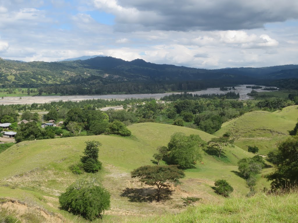
Map of Barique
Interactive Map
Recent Nearby Earthquakes
Magnitude 3.0 and greater
| Date▼ | Time↕ | Magnitude↕ | Distance↕ | Depth↕ | Location↕ | Link |
|---|---|---|---|---|---|---|
| 3/13/19 | 2:42 PM | 4.6 | 52.3 km | 10,000 m | 35km SE of Ainaro, East Timor | usgs.gov |
| 7/30/18 | 4:38 PM | 4 | 40.4 km | 35,000 m | 39km ESE of Ainaro, East Timor | usgs.gov |
| 7/25/18 | 10:21 AM | 4 | 73.1 km | 134,100 m | 123km E of Dili, East Timor | usgs.gov |
| 2/13/18 | 12:50 AM | 4.6 | 65.2 km | 35,000 m | 108km ESE of Ainaro, East Timor | usgs.gov |
| 7/29/17 | 12:52 PM | 4.5 | 78.1 km | 68,340 m | 66km SSE of Ainaro, East Timor | usgs.gov |
| 5/28/16 | 9:03 PM | 4.9 | 63.4 km | 33,940 m | 119km E of Aileu, East Timor | usgs.gov |
| 5/24/16 | 8:39 PM | 4.1 | 54.6 km | 163,420 m | 1km E of Aileu, East Timor | usgs.gov |
| 3/11/16 | 11:00 AM | 4.5 | 72.1 km | 10,000 m | 99km ESE of Ainaro, East Timor | usgs.gov |
| 11/4/15 | 9:58 AM | 4.5 | 80.3 km | 10,000 m | 25km N of Dili, East Timor | usgs.gov |
| 6/2/15 | 7:24 PM | 4.3 | 58 km | 61,850 m | 45km SE of Ainaro, East Timor | usgs.gov |
Source: U.S. Geological Survey (USGS)


About Our Data
The data on this page is estimated using a number of publicly available tools and resources. It is provided without warranty, and could contain inaccuracies. Use at your own risk.