Gamkonora Facts
| Local Time | |
| Timezone | Eastern Indonesia Time |
| Lat & Lng | 1.41667, 127.51667 |
Map of Gamkonora
Interactive Map
Recent Nearby Earthquakes
Magnitude 3.0 and greater
| Date▼ | Time↕ | Magnitude↕ | Distance↕ | Depth↕ | Location↕ | Link |
|---|---|---|---|---|---|---|
| 6/27/19 | 8:24 PM | 4.8 | 14.1 km | 159,070 m | 70km N of Ternate, Indonesia | usgs.gov |
| 6/8/19 | 4:59 PM | 4.1 | 21.7 km | 129,289 m | 77km WSW of Tobelo, Indonesia | usgs.gov |
| 5/23/19 | 11:31 AM | 4.5 | 18.8 km | 109,490 m | 76km N of Ternate, Indonesia | usgs.gov |
| 4/6/19 | 1:34 AM | 4.2 | 20.2 km | 154,020 m | 72km WSW of Tobelo, Indonesia | usgs.gov |
| 2/25/19 | 4:43 PM | 4.2 | 22.8 km | 147,010 m | 70km N of Ternate, Indonesia | usgs.gov |
| 7/9/18 | 10:31 PM | 4.6 | 16.9 km | 129,850 m | 57km N of Ternate, Indonesia | usgs.gov |
| 5/9/18 | 12:59 AM | 4.1 | 24.1 km | 110,360 m | 72km N of Ternate, Indonesia | usgs.gov |
| 2/10/17 | 11:26 PM | 4.7 | 21 km | 139,750 m | 63km WSW of Tobelo, Indonesia | usgs.gov |
| 10/25/16 | 8:24 AM | 4.7 | 25 km | 162,620 m | 68km W of Tobelo, Indonesia | usgs.gov |
| 10/14/16 | 11:48 AM | 4.3 | 20.4 km | 129,430 m | 68km WSW of Tobelo, Indonesia | usgs.gov |
Source: U.S. Geological Survey (USGS)
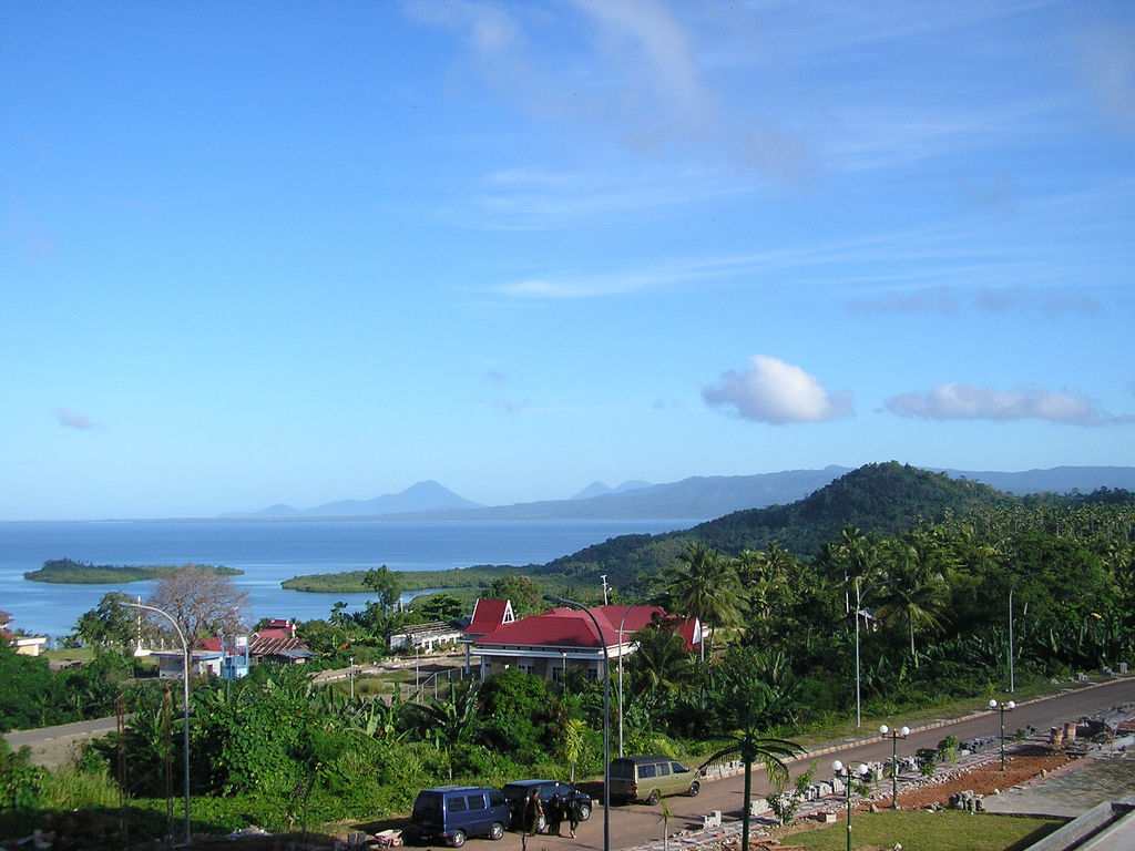
Mount Gamkonora
Mount Gamkonora is a stratovolcano on Halmahera island, Indonesia. With an elevation of 1,560 metres (5,118 ft), it is the highest peak on the island. It has produced an elongated series of craters along the north-south rift. The largest eruption in ..
Mount Gamkonora Wikipedia Page

About Our Data
The data on this page is estimated using a number of publicly available tools and resources. It is provided without warranty, and could contain inaccuracies. Use at your own risk.