Categories in Kudus Regency
Industries
Business Distribution by Industry in Kudus Regency
| Industry Description | Number of Establishments | Average Age of Business | Average Google Rating |
|---|---|---|---|
| Shopping | 1,756 | 54 years | 4.2 |
| Restaurants | 883 | — | 4.2 |
| Education | 676 | — | 4.4 |
| Religion | 483 | — | 4.4 |
| Indonesian restaurants | 328 | — | 4.2 |
| Mosques | 326 | — | 4.5 |
| Loan companies | 269 | — | 4.1 |
| Cafes | 249 | — | 4.1 |
| All food and beverage | 240 | — | 4.3 |
| Banks | 234 | — | 4.2 |
| Primary and elementary schools | 208 | — | 4.2 |
| Grocery stores and supermarkets | 194 | — | 4.2 |
| Car repair | 186 | — | 4.2 |
| Electronics stores | 181 | — | 4.1 |
| Clothing stores | 181 | — | 4.2 |
| Office supplies and stationery stores | 172 | — | 4.3 |
| Hospitals | 151 | — | 4.2 |
| American restaurants | 139 | — | 4.2 |
| Hardware store | 125 | — | 4.1 |
| Automotive | 124 | — | 4.1 |
| Construction of buildings | 116 | — | 4.1 |
| Health and medical | 116 | — | 3.9 |
| Convenience stores | 115 | — | 4.3 |
| Beauty salons | 112 | — | 4.2 |
| Secondary education | 111 | — | 4.4 |
Kudus Regency Facts
| Area | 240.6 km² |
| Population | 777,043 |
| Male Population | 383,517 (49.4%) |
| Female Population | 393,526 (50.6%) |
| Population change (1975 to 2020) | +52.6% |
| Population change (2000 to 2020) | +9.8% |
| Median Age | 28.9 years (Male: 28.2, Female: 29.5) |
| Area Codes | 291 |
| Neighborhoods | Getas, Getas Pejaten, Jati, Rendeng, Kota Kudus, Kedungdowo, Kaliwungu, Magersari, Panjunan, Kota Kudus, Ngembal Rejo, Ngembalrejo, Bae |
| Local Time | |
| Timezone | Western Indonesia Time |
| Lat & Lng | -6.80480, 110.84050 |
| Postal Codes | 59151, 59311, 59312, 59313, 59314, More |
Map of Kudus Regency
Interactive Map
Kudus Regency Population
Years 1975 to 2020
| Data | 1975 | 1990 | 2000 | 2015 | 2020 |
|---|---|---|---|---|---|
| Population | 509,190 | 703,201 | 707,404 | 738,237 | 777,043 |
| Population Density | 2,116.7 / km² | 2,923.2 / km² | 2,940.6 / km² | 3,068.8 / km² | 3,230.1 / km² |
Kudus Regency Population change from 2000 to 2015
Increase of 4.4% from year 2000 to 2015
| Location | Change since 1975 | Change since 1990 | Change since 2000 |
|---|---|---|---|
| Kudus Regency | +45% | +5% | +4.4% |
| Central Java | +763.3% | +4% | +2% |
| Indonesia | +96.9% | +41.9% | +21.7% |
Kudus Regency Median Age
Median Age: 28.9 years
| Location | Median Age | Median Age (Female) | Median Age (Male) |
|---|---|---|---|
| Kudus Regency | 28.9 yrs | 29.5 yrs | 28.2 yrs |
| Central Java | 30.5 yrs | 31.2 yrs | 29.8 yrs |
| Indonesia | 27.2 yrs | 27.5 yrs | 26.9 yrs |
Kudus Regency Population Density
Population Density: 3,230 / km²
| Location | Population | Area | Density |
|---|---|---|---|
| Kudus Regency | 777,043 | 240.6 km² | 3,230 / km² |
| Central Java | 10,593 | 23.8 km² | 445 / km² |
| Indonesia | 252.8 million | 1,893,657.8 km² | 134 / km² |
Kudus Regency Historical and Projected Population
Estimated Population from 1500 to 2100
- JRC (European Commission's Joint Research Centre) work on the GHS built-up grid
- CIESIN (Center for International Earth Science Information Network)
- [Link] Klein Goldewijk, K., Beusen, A., Doelman, J., and Stehfest, E.: Anthropogenic land use estimates for the Holocene – HYDE 3.2, Earth Syst. Sci. Data, 9, 927–953, https://doi.org/10.5194/essd-9-927-2017, 2017.
Neighborhoods in Kudus Regency
Percentage of businesses by neighborhood in Kudus Regency
Area Codes
Percentage Area Codes used by businesses in Kudus Regency
Postal Codes
Percentage of businesses by Postal Codes in Kudus Regency
Price Distribution
Business distribution by price for Kudus Regency
Human Development Index (HDI)
Statistic composite index of life expectancy, education, and per capita income.
Kudus Regency CO2 Emissions
Carbon Dioxide (CO2) Emissions Per Capita in Tonnes Per Year
| Location | CO2 Emissions | CO2 Emissions Per Capita | CO2 Emissions Intensity |
|---|---|---|---|
| Kudus Regency | 1,798,593 tn | 2.31 tn | 7,476.6 tons/km² |
| Central Java | 12,008 tn | 1.13 tn | 503.9 tons/km² |
| Indonesia | 478,610,416 tn | 1.89 tn | 252.7 tons/km² |
| 2013 CO2 emissions (tonnes/year) | 1,798,593 tn |
| 2013 CO2 emissions (tonnes/year) per capita | 2.31 tn |
| 2013 CO2 emissions intensity (tonnes/km²/year) | 7,476.6 tons/km² |
Natural Hazards Risk
Relative risk out of 10
| Hazard | Risk Level |
|---|---|
| Drought | Medium (5) |
| Flood | High (9) |
| Earthquake | Medium (5.4) |
| Landslide | Medium (7) |
* Risk, particularly concerning flood or landslide, may not be for the entire area.
- Dilley, M., R.S. Chen, U. Deichmann, A.L. Lerner-Lam, M. Arnold, J. Agwe, P. Buys, O. Kjekstad, B. Lyon, and G. Yetman. 2005. Natural Disaster Hotspots: A Global Risk Analysis. Washington, D.C.: World Bank. https://doi.org/10.1596/0-8213-5930-4.
- Center for Hazards and Risk Research - CHRR - Columbia University, Center for International Earth Science Information Network - CIESIN - Columbia University, and Norwegian Geotechnical Institute - NGI. 2005. Global Landslide Hazard Distribution. Palisades, NY: NASA Socioeconomic Data and Applications Center (SEDAC). https://doi.org/10.7927/H4P848VZ.
- Center for Hazards and Risk Research - CHRR - Columbia University, Center for International Earth Science Information Network - CIESIN - Columbia University, and International Research Institute for Climate and Society - IRI - Columbia University. 2005. Global Drought Hazard Frequency and Distribution. Palisades, NY: NASA Socioeconomic Data and Applications Center (SEDAC). https://doi.org/10.7927/H4VX0DFT.
- Center for Hazards and Risk Research - CHRR - Columbia University, Center for International Earth Science Information Network - CIESIN - Columbia University. 2005. Global Flood Hazard Frequency and Distribution. Palisades, NY: NASA Socioeconomic Data and Applications Center (SEDAC). https://doi.org/10.7927/H4668B3D.
- Center for Hazards and Risk Research - CHRR - Columbia University, Center for International Earth Science Information Network - CIESIN - Columbia University. 2005. Global Earthquake Hazard Distribution - Peak Ground Acceleration. Palisades, NY: NASA Socioeconomic Data and Applications Center (SEDAC). https://doi.org/10.7927/H4BZ63ZS.
Recent Nearby Earthquakes
Magnitude 3.0 and greater
| Date▼ | Time↕ | Magnitude↕ | Distance↕ | Depth↕ | Location↕ | Link |
|---|---|---|---|---|---|---|
| 6/28/18 | 6:26 PM | 4.2 | 83.1 km | 242,870 m | 24km SSE of Weleri, Indonesia | usgs.gov |
| 5/2/18 | 10:47 PM | 4 | 41.4 km | 10,000 m | 3km ENE of Belah Lor, Indonesia | usgs.gov |
| 7/10/17 | 10:17 PM | 4 | 71.3 km | 213,790 m | 4km S of Jatiklampok, Indonesia | usgs.gov |
| 11/4/16 | 5:08 AM | 4.7 | 83.9 km | 17,870 m | 11km WNW of Ngawi, Indonesia | usgs.gov |
| 3/4/16 | 6:01 PM | 4.2 | 98 km | 551,530 m | 60km N of Batang, Indonesia | usgs.gov |
| 10/22/15 | 6:10 PM | 4.4 | 42.1 km | 53,750 m | 4km N of Batang, Indonesia | usgs.gov |
| 6/1/15 | 11:12 PM | 4.1 | 51.8 km | 235,190 m | 5km NNW of Semarang, Indonesia | usgs.gov |
| 7/26/14 | 5:57 AM | 4.2 | 74 km | 247,590 m | 0km S of Semampir, Indonesia | usgs.gov |
| 2/27/10 | 5:04 AM | 4.4 | 69 km | 246,700 m | Java, Indonesia | usgs.gov |
| 3/2/08 | 4:53 AM | 3.9 | 92.4 km | 250,000 m | Java, Indonesia | usgs.gov |
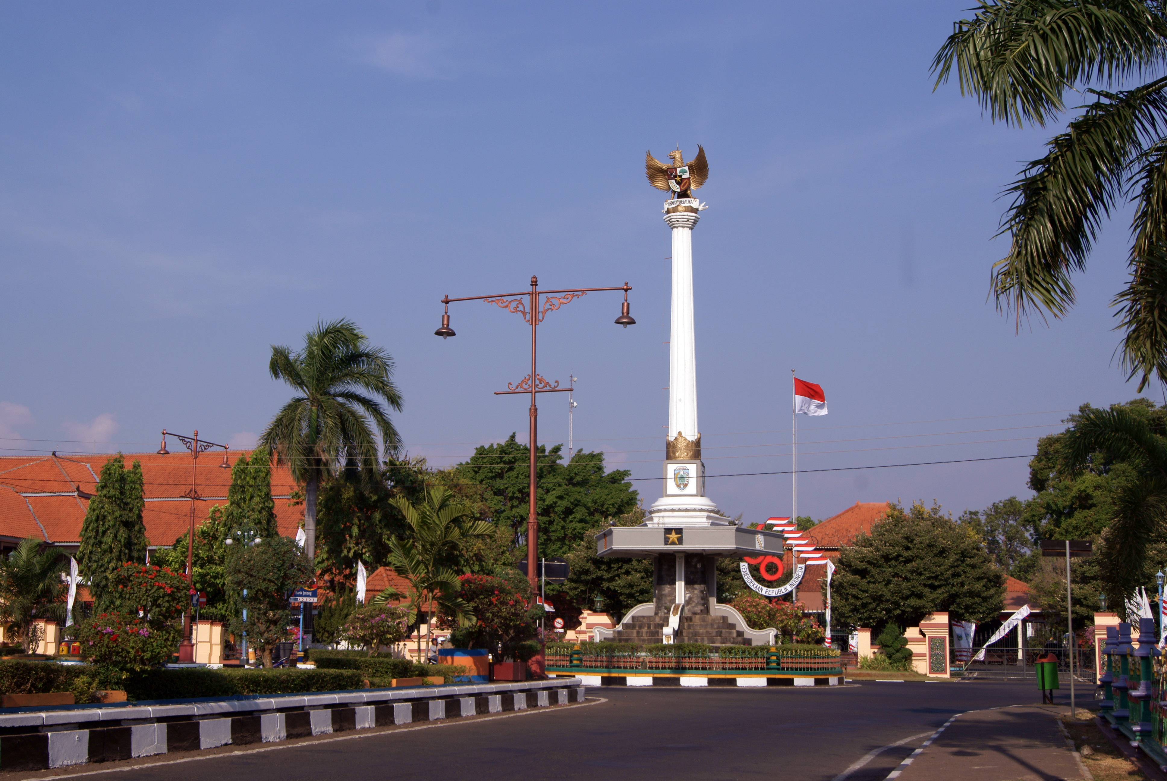
Kudus Regency
Kudus is a regency (Indonesian: kabupaten) in Central Java province in Indonesia. Its capital is Kudus. It is located east of Semarang, capital of Central Java.
Kudus Regency Wikipedia Page


About Our Data
The data on this page is estimated using a number of publicly available tools and resources. It is provided without warranty, and could contain inaccuracies. Use at your own risk.