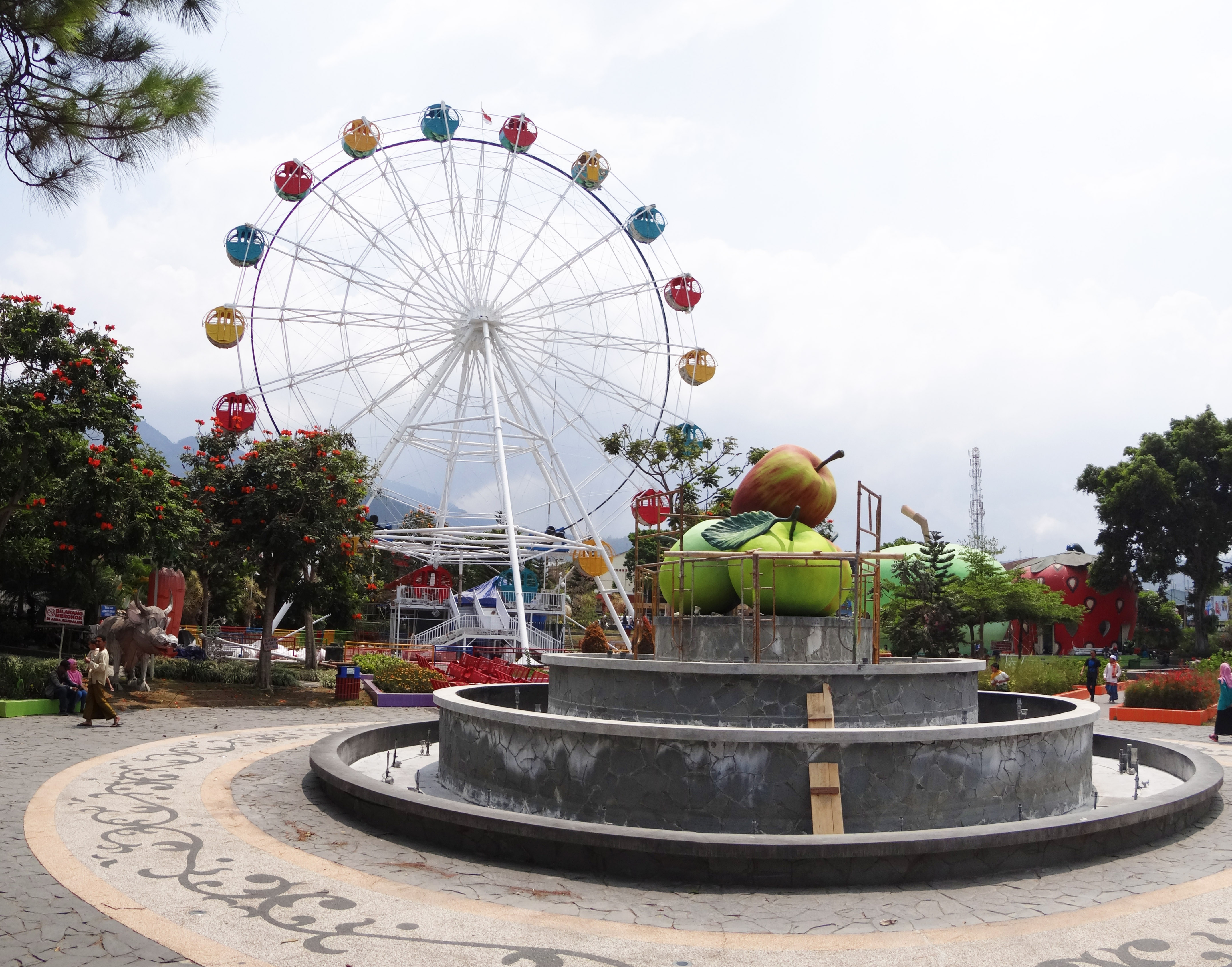
Categories in Ngoro
Car Repair and MaintenanceGas StationMotorcycle repairFarmingFood Products SupplierClothing storesTextile MerchantMosquesReligionReligious OrganizationSoup KitchenElectronics StoreBuilding Materials StoreHome Goods StoreEducationEducation CenterElementary SchoolReligious SchoolBakeriesBakso restaurantBrunch RestaurantCafesCoffee ShopDelisDinerGrocery stores and supermarketsHealth Food StoreNasi restaurantNoodle ShopRestaurantsSnack BarFurniture storesTailorBanksBeauty salonsHousing ComplexConvenience storesRanchShoppingShopping MallBus StationLog CabinsWarehouseUnreachable
Industries
Business Distribution by Industry in Ngoro
| Industry Description | Number of Establishments |
|---|---|
| Shopping | 190 |
| Religion | 75 |
| Education | 50 |
| Restaurants | 29 |
| Cafes | 24 |
| Clothing stores | 14 |
| Grocery stores and supermarkets | 14 |
| Repair other | 14 |
| Car repair | 11 |
| Buses and trains | 11 |
| Beauty salons | 11 |
Ngoro Facts
| Neighborhoods | Pandean, Ngoro, Jombang, Pandean, Ngoro, Area Sawah/Kebun, Ngoro, Grenggeng, Rejoagung, Ngoro, Pulorejo, Ngoro |
| Local Time | |
| Timezone | Western Indonesia Time |
| Lat & Lng | -7.68386, 112.25804 |
| Postal Codes | 61473 |
Map of Ngoro
Interactive Map
Neighborhoods in Ngoro
Percentage of businesses by neighborhood in Ngoro
Postal Codes
Percentage of businesses by Postal Codes in Ngoro
Price Distribution
Business distribution by price for Ngoro
Recent Nearby Earthquakes
Magnitude 3.0 and greater
| Date▼ | Time↕ | Magnitude↕ | Distance↕ | Depth↕ | Location↕ | Link |
|---|---|---|---|---|---|---|
| 6/4/18 | 5:42 AM | 4.3 | 95.3 km | 108,120 m | 22km SSW of Jengglungharjo, Indonesia | usgs.gov |
| 3/15/18 | 8:25 PM | 4.4 | 94.6 km | 131,700 m | 14km E of Krajan Ngrambingan, Indonesia | usgs.gov |
| 4/16/17 | 8:56 PM | 4.1 | 46.4 km | 233,610 m | 18km SSE of Babat, Indonesia | usgs.gov |
| 4/8/17 | 8:17 AM | 3.9 | 62.9 km | 61,710 m | 0km ESE of Bureng, Indonesia | usgs.gov |
| 12/10/16 | 5:28 AM | 4.2 | 94.5 km | 43,300 m | 21km SW of Krajan, Indonesia | usgs.gov |
| 10/16/16 | 5:45 PM | 4.4 | 21.2 km | 166,430 m | 9km NE of Jombang, Indonesia | usgs.gov |
| 9/23/16 | 11:33 PM | 4.2 | 59.1 km | 150,370 m | 5km WSW of Tiang, Indonesia | usgs.gov |
| 8/2/16 | 11:15 AM | 4.1 | 79.1 km | 123,090 m | 9km SSW of Trenggalek, Indonesia | usgs.gov |
| 8/21/15 | 7:07 PM | 4.2 | 82.5 km | 120,620 m | 13km SW of Apakbranjang, Indonesia | usgs.gov |
| 6/25/15 | 3:35 AM | 4.3 | 58.8 km | 9,770 m | 20km NW of Nganjuk, Indonesia | usgs.gov |
Source: U.S. Geological Survey (USGS)
About Our Data
The data on this page is estimated using a number of publicly available tools and resources. It is provided without warranty, and could contain inaccuracies. Use at your own risk.