Industries
Business Distribution by Industry in Seel, Central Java
| Industry Description | Number of Establishments |
|---|---|
| Education | 5 |
Seel, Central Java Facts
| Local Time | |
| Timezone | Western Indonesia Time |
| Lat & Lng | -6.84960, 108.57290 |
| Postal Codes | 45175 |
Map of Seel, Central Java
Interactive Map
Recent Nearby Earthquakes
Magnitude 3.0 and greater
| Date▼ | Time↕ | Magnitude↕ | Distance↕ | Depth↕ | Location↕ | Link |
|---|---|---|---|---|---|---|
| 7/18/19 | 6:22 PM | 4.4 | 86.9 km | 95,070 m | 2km WNW of Sukasenang, Indonesia | usgs.gov |
| 3/21/19 | 3:03 PM | 4.8 | 98.9 km | 107,700 m | 3km NW of Simpang, Indonesia | usgs.gov |
| 12/7/18 | 1:49 PM | 4.2 | 35.3 km | 265,170 m | 8km N of Arjawinangun, Indonesia | usgs.gov |
| 11/15/18 | 3:16 PM | 4 | 97.7 km | 312,100 m | 26km NNE of Masjid Jamie Baitul Muttaqien, Indonesia | usgs.gov |
| 8/21/18 | 9:23 PM | 4.3 | 15.1 km | 231,990 m | 7km E of Karangsembung, Indonesia | usgs.gov |
| 2/11/18 | 6:48 AM | 4 | 22.3 km | 242,260 m | 10km SSW of Palimanan, Indonesia | usgs.gov |
| 12/15/17 | 4:47 PM | 6.5 | 83.6 km | 90,000 m | 1km E of Kampungbaru, Indonesia | usgs.gov |
| 11/9/17 | 4:57 PM | 4.2 | 90.5 km | 124,750 m | 1km ENE of Cipari, Indonesia | usgs.gov |
| 9/24/17 | 12:00 AM | 4.4 | 61 km | 123,210 m | 1km ENE of Bojongmalang, Indonesia | usgs.gov |
| 2/13/17 | 8:12 AM | 4.8 | 78 km | 101,060 m | 0km NW of Girikarya, Indonesia | usgs.gov |
Source: U.S. Geological Survey (USGS)
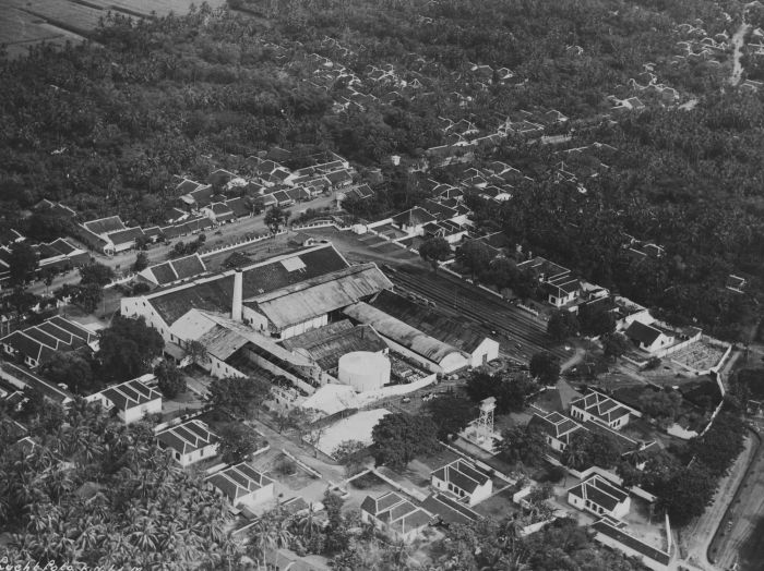
Seel, Central Java
Seel is a populated place in Central Java on the island of Java, Indonesia.
Seel, Central Java Wikipedia Page

About Our Data
The data on this page is estimated using a number of publicly available tools and resources. It is provided without warranty, and could contain inaccuracies. Use at your own risk.