Categories in Baltinglass
Car repairWholesale of construction suppliesWholesale of machineryLaundryPhotographySpecialized designAll food and beverageBars, pubs and tavernsCafesGrocery stores and supermarketsRestaurantsFurniture storesHousehold appliances and goodsRepair otherPharmacies and drug storesBeauty salonsGeneral cleaning servicesShoppingShopping other
Industries
Business Distribution by Industry in Baltinglass
| Industry Description | Number of Establishments | Average Google Rating |
|---|---|---|
| Shopping | 26 | 4.4 |
| Wholesale of machinery | 16 | 5 |
| Pharmacies and drug stores | 9 | 4 |
| Grocery stores and supermarkets | 7 | 4.6 |
Baltinglass Facts
| Area Codes | 59 |
| Neighborhoods | Baltinglass East, Deerpark, Sruhaun, Lathaleere, Carsrock |
| Local Time | |
| Timezone | Irish Standard Time |
| Lat & Lng | 52.93722, -6.70917 |
Map of Baltinglass
Interactive Map
Neighborhoods in Baltinglass
Percentage of businesses by neighborhood in Baltinglass
Area Codes
Percentage Area Codes used by businesses in Baltinglass
Price Distribution
Business distribution by price for Baltinglass
Recent Nearby Earthquakes
Magnitude 3.0 and greater
| Date▼ | Time↕ | Magnitude↕ | Distance↕ | Depth↕ | Location↕ | Link |
|---|---|---|---|---|---|---|
| 12/14/05 | 3:30 AM | 3.2 | 72.1 km | 10,000 m | Irish Sea | usgs.gov |
Source: U.S. Geological Survey (USGS)
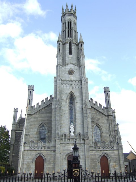
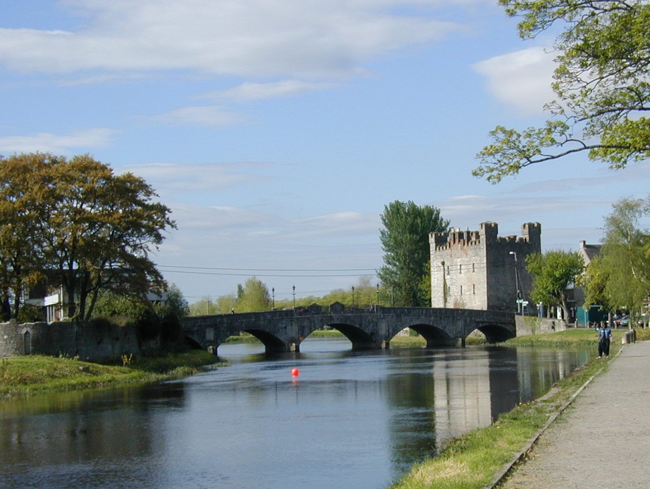
Baltinglass
Baltinglass, historically known as Baltinglas (Irish: Bealach Conglais, meaning "Road of Cúglas"), is a town in south-west County Wicklow, Ireland. It is located on the River Slaney near the border with County Carlow and County Kildare, on the N81 ro..
Baltinglass Wikipedia Page

About Our Data
The data on this page is estimated using a number of publicly available tools and resources. It is provided without warranty, and could contain inaccuracies. Use at your own risk.