Rathmolyon Facts
| Neighborhoods | Glebe, Isaacstown, Rathmolyon, Moy, Formal |
| Local Time | |
| Timezone | Irish Standard Time |
| Lat & Lng | 53.48989, -6.80537 |
Map of Rathmolyon
Interactive Map
Area Codes
Percentage Area Codes used by businesses in Rathmolyon
Price Distribution
Business distribution by price for Rathmolyon
Recent Nearby Earthquakes
Magnitude 3.0 and greater
| Date▼ | Time↕ | Magnitude↕ | Distance↕ | Depth↕ | Location↕ | Link |
|---|---|---|---|---|---|---|
| 12/14/05 | 3:30 AM | 3.2 | 94.9 km | 10,000 m | Irish Sea | usgs.gov |
Source: U.S. Geological Survey (USGS)
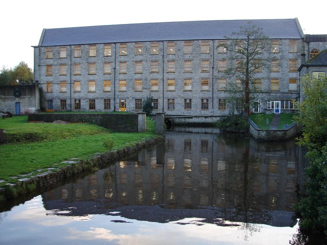
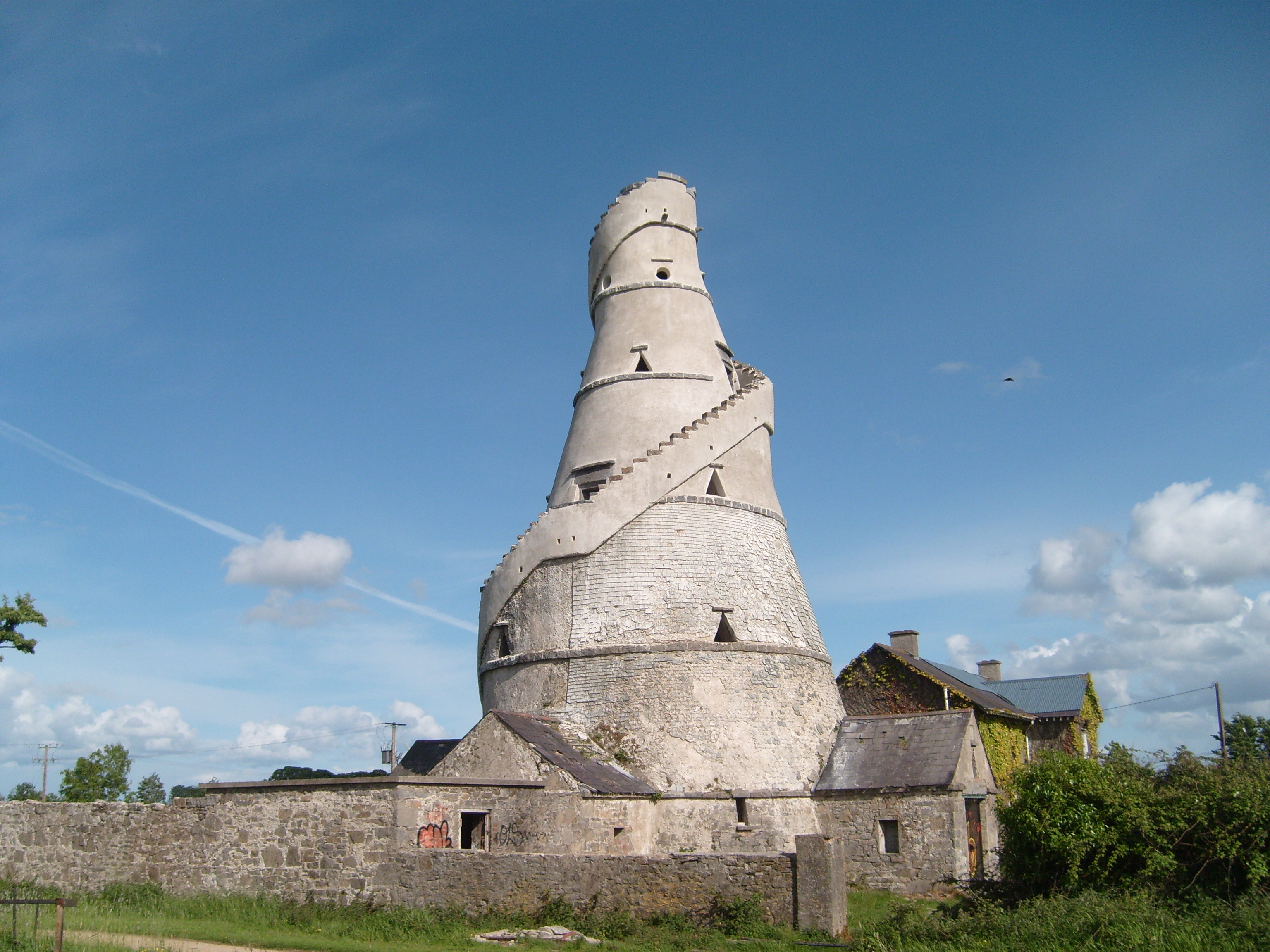
Rathmolyon
Rathmolyon /ræθmɒˈlaɪn/, rath-muu-LEYEN, Irish: Ráth Máigh Laighin, meaning "ringfort of the Leinster Plain") is a village in the southern portion of County Meath, Ireland, situated 8 km south of Trim. It is situated at the junction of the R156 regio..
Rathmolyon Wikipedia Page

About Our Data
The data on this page is estimated using a number of publicly available tools and resources. It is provided without warranty, and could contain inaccuracies. Use at your own risk.