Map of Mesilot
Interactive Map
Recent Nearby Earthquakes
Magnitude 3.0 and greater
| Date▼ | Time↕ | Magnitude↕ | Distance↕ | Depth↕ | Location↕ | Link |
|---|---|---|---|---|---|---|
| 7/4/18 | 7:45 PM | 4.7 | 33.5 km | 10,000 m | 5km SE of 'Eilabun, Israel | usgs.gov |
| 7/4/18 | 1:50 AM | 4 | 32.4 km | 10,000 m | 6km SSE of 'Eilabun, Israel | usgs.gov |
| 10/20/13 | 12:54 PM | 3.5 | 41.1 km | 5,000 m | 8km NNE of Tiberias, Israel | usgs.gov |
| 8/7/11 | 8:52 AM | 4.1 | 94.7 km | 31,000 m | Dead Sea region | usgs.gov |
| 7/10/09 | 6:19 PM | 4 | 90.5 km | 10,000 m | Lebanon - Syria region | usgs.gov |
| 6/23/08 | 3:45 PM | 3 | 88.2 km | 1,000 m | Lebanon - Syria region | usgs.gov |
| 6/13/08 | 5:28 AM | 4 | 91.4 km | 1,000 m | Lebanon - Syria region | usgs.gov |
| 6/12/08 | 4:40 PM | 4 | 92.1 km | 5,400 m | Lebanon - Syria region | usgs.gov |
| 6/12/08 | 3:43 PM | 3.9 | 89.6 km | 4,300 m | Lebanon - Syria region | usgs.gov |
| 6/12/08 | 3:41 PM | 4.2 | 90.3 km | 0 m | Lebanon - Syria region | usgs.gov |
Source: U.S. Geological Survey (USGS)
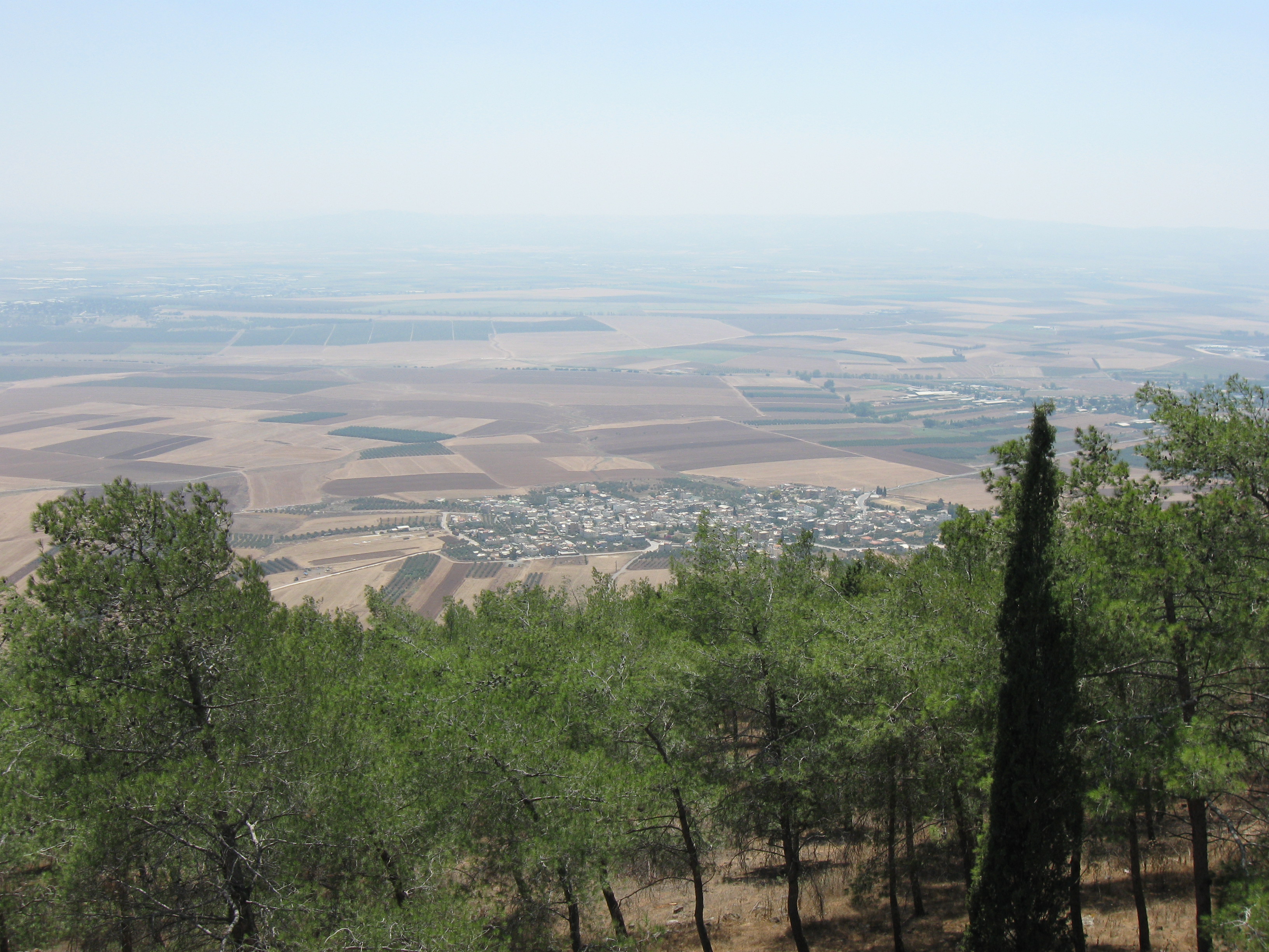
Mesilot
Mesilot (Hebrew: מְסִלּוֹת, מסילות, lit. Tracks) is a kibbutz in Beit She'an Valley near the city of Beit She'an in Israel. It falls under the jurisdiction of Valley of Springs Regional Council. location : under mount
Mesilot Wikipedia Page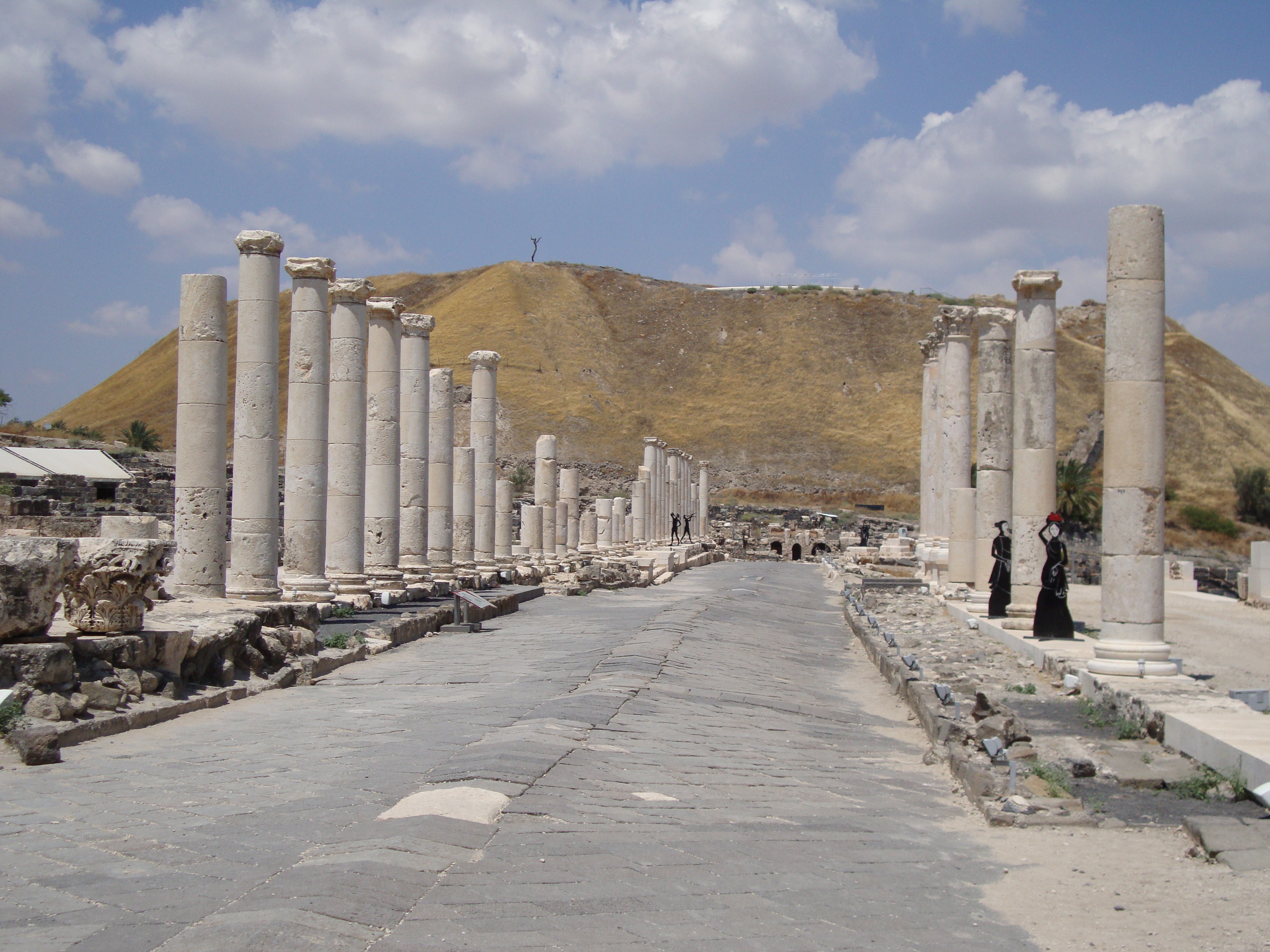

About Our Data
The data on this page is estimated using a number of publicly available tools and resources. It is provided without warranty, and could contain inaccuracies. Use at your own risk.