Romema Facts
| Neighborhoods | Romema, Emek Refaim |
| Local Time | |
| Timezone | Israel Daylight Time |
| Lat & Lng | 31.79180, 35.20369 |
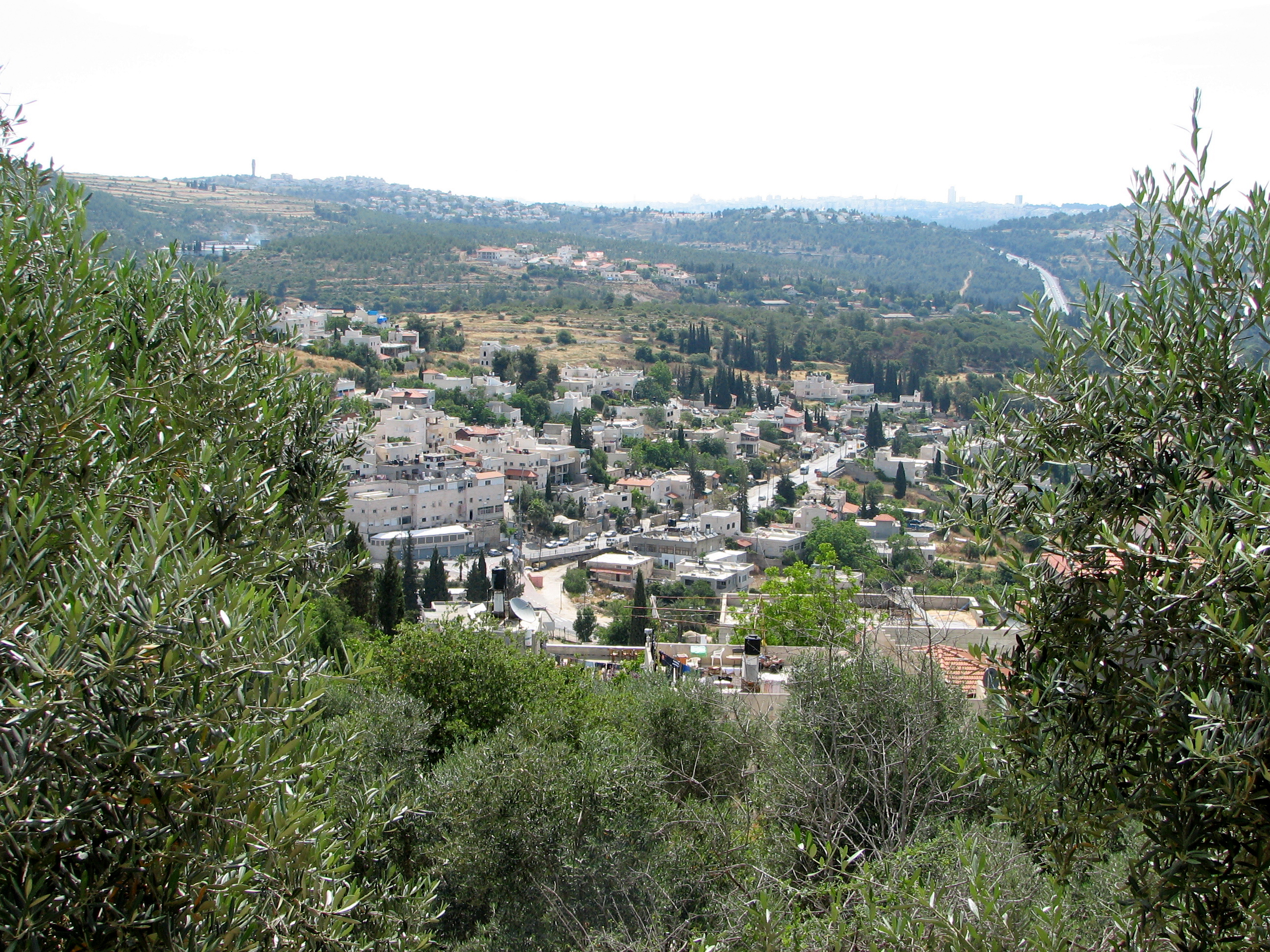
Map of Romema
Interactive Map
Price Distribution
Business distribution by price for Romema
Recent Nearby Earthquakes
Magnitude 3.0 and greater
| Date▼ | Time↕ | Magnitude↕ | Distance↕ | Depth↕ | Location↕ | Link |
|---|---|---|---|---|---|---|
| 7/30/15 | 2:39 AM | 4.2 | 50.9 km | 13,000 m | 24km NNE of `En Boqeq, Israel | usgs.gov |
| 12/2/07 | 7:38 AM | 4 | 35 km | 10,000 m | Dead Sea region | usgs.gov |
| 11/23/07 | 10:19 PM | 4.4 | 26.1 km | 11,000 m | Dead Sea region | usgs.gov |
| 11/20/07 | 11:21 PM | 3.2 | 38.6 km | 5,000 m | Dead Sea region | usgs.gov |
| 11/20/07 | 9:18 AM | 4.6 | 35.6 km | 10,000 m | Dead Sea region | usgs.gov |
| 2/9/07 | 10:14 PM | 4.5 | 79.4 km | 15,000 m | Dead Sea region | usgs.gov |
| 2/9/07 | 10:12 PM | 4 | 88 km | 2,000 m | Dead Sea region | usgs.gov |
| 11/18/06 | 2:57 AM | 3.1 | 43.6 km | 10,000 m | Dead Sea region | usgs.gov |
| 9/17/06 | 8:22 AM | 4 | 35.7 km | 1,000 m | Dead Sea region | usgs.gov |
| 9/9/06 | 4:58 AM | 4.5 | 37.1 km | 1,000 m | Dead Sea region | usgs.gov |
Source: U.S. Geological Survey (USGS)
Romema
(Hebrew: רוממה) (lit. Uplifted) is a neighbourhood in northwest Jerusalem, Israel, just off the Tel Aviv-Jerusalem highway at the main entrance to the city. It occupies the highest hill in Jerusalem. Romema is bordered by Kiryat Mattersdorf and Me..
Romema Wikipedia Page


About Our Data
The data on this page is estimated using a number of publicly available tools and resources. It is provided without warranty, and could contain inaccuracies. Use at your own risk.