Categories in Atzmon
Map of Atzmon
Interactive Map
Recent Nearby Earthquakes
Magnitude 3.0 and greater
| Date▼ | Time↕ | Magnitude↕ | Distance↕ | Depth↕ | Location↕ | Link |
|---|---|---|---|---|---|---|
| 11/3/18 | 5:42 PM | 3.8 | 95.1 km | 32,140 m | 44km WNW of Sidon, Lebanon | usgs.gov |
| 7/4/18 | 7:45 PM | 4.7 | 19.5 km | 10,000 m | 5km SE of 'Eilabun, Israel | usgs.gov |
| 7/4/18 | 1:50 AM | 4 | 19.4 km | 10,000 m | 6km SSE of 'Eilabun, Israel | usgs.gov |
| 7/5/14 | 9:41 PM | 4 | 81.1 km | 12,700 m | 3km NE of Sidon, Lebanon | usgs.gov |
| 10/20/13 | 12:54 PM | 3.5 | 29.9 km | 5,000 m | 8km NNE of Tiberias, Israel | usgs.gov |
| 8/7/11 | 8:52 AM | 4.1 | 80.5 km | 31,000 m | Dead Sea region | usgs.gov |
| 7/10/09 | 6:19 PM | 4 | 49.5 km | 10,000 m | Lebanon - Syria region | usgs.gov |
| 8/13/08 | 6:05 AM | 3.2 | 68.7 km | 10,000 m | eastern Mediterranean Sea | usgs.gov |
| 7/2/08 | 9:29 AM | 3.1 | 68.3 km | 20,100 m | Lebanon - Syria region | usgs.gov |
| 6/23/08 | 3:45 PM | 3 | 49.9 km | 1,000 m | Lebanon - Syria region | usgs.gov |
Source: U.S. Geological Survey (USGS)
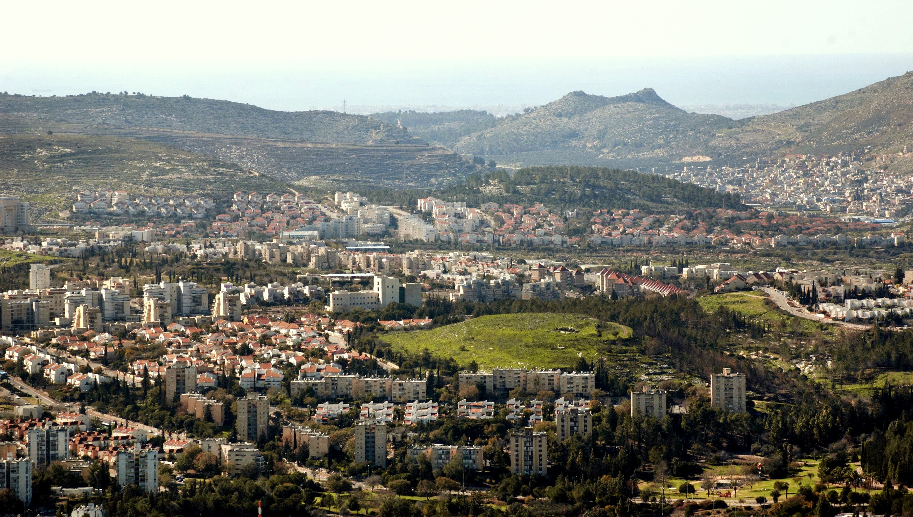
Atzmon
Atzmon (Hebrew: עַצְמוֹן), formerly known as Segev, is a community settlement in Gush Segev in the Galilee, part of the Misgav Regional Council. In 2014 it had a population of 1,049.
Atzmon Wikipedia Page


About Our Data
The data on this page is estimated using a number of publicly available tools and resources. It is provided without warranty, and could contain inaccuracies. Use at your own risk.