Categories in Antri
Gas StationFarmingClothing storesGovernment OfficeHindu templeComputer Support and ServicesElectronics StoreHousing DevelopmentEducationEducation CenterFast food restaurantsGrocery stores and supermarketsHospitalsApartment BuildingHousing ComplexGeneral StoreShoppingShopping MallSupermarketHousing Society
Antri Facts
| Local Time | |
| Timezone | India Standard Time |
| Lat & Lng | 26.05804, 78.21027 |
Map of Antri
Interactive Map
Recent Nearby Earthquakes
Magnitude 3.0 and greater
| Date▼ | Time↕ | Magnitude↕ | Distance↕ | Depth↕ | Location↕ | Link |
|---|---|---|---|---|---|---|
| 8/31/94 | 11:29 PM | 4.7 | 42.4 km | 33,000 m | Uttar Pradesh-Madhya Pradesh border region, India | usgs.gov |
Source: U.S. Geological Survey (USGS)
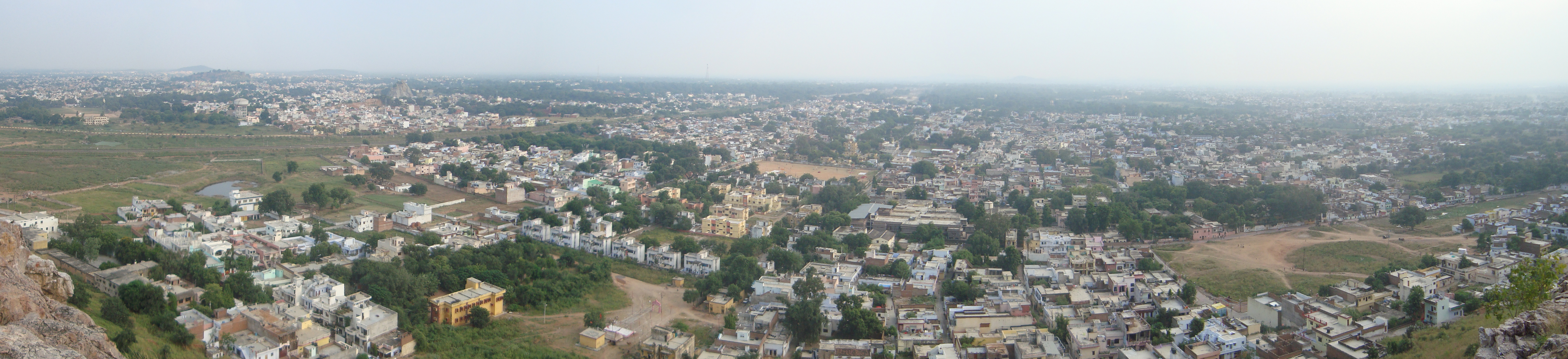
Antri
Antri is a village in Gwalior in Madhya Pradesh, India, lying 122 kilometres (76 mi) south of Agra, and 423 kilometres (263 mi) north of Bhopal, the state capital. 'Antri' is derived from the word 'Antadee' which means intestine. A Hindu prince, Veer..
Antri Wikipedia Page

About Our Data
The data on this page is estimated using a number of publicly available tools and resources. It is provided without warranty, and could contain inaccuracies. Use at your own risk.