Categories in Basugaon
Auto Parts StoreCar repairGas StationMotorcycle ShopWholesalersClothing storesJewelers and watchesShoe storesWomen's clothingMobile phone storesClubGovernment OfficeHindu templeMosquesCell phone accessory storeComputer Support and ServicesElectronics Repair ShopElectronics StoreMobile Phone Repair ShopHardware storeHome Goods StoreEducationGeneral education schoolBakeriesFast food restaurantsFood CourtFruit and Vegetable StoreGrocery stores and supermarketsInternet cafesRestaurantsFurniture storesBanksBeauty salonsHair SalonApartment BuildingHousing ComplexComputer storesCosmetics StoreGeneral StoreGift ShopIndian Grocery StoreMarketPharmacyShoppingShopping MallTea StoreTobacco ShopPlaygroundHousing SocietyTravel Agency
Industries
Business Distribution by Industry in Basugaon
| Industry Description | Number of Establishments |
|---|---|
| Shopping | 48 |
| Clothing stores | 33 |
| Shopping other | 30 |
| Hindu temple | 23 |
| Electronics stores | 22 |
| Grocery stores and supermarkets | 21 |
| Education | 19 |
| Hardware store | 18 |
| Restaurants | 15 |
| Pharmacies and drug stores | 14 |
| Public administration | 13 |
Basugaon Facts
| Neighborhoods | Girjengaon village |
| Local Time | |
| Timezone | India Standard Time |
| Lat & Lng | 26.46742, 90.41951 |
Map of Basugaon
Interactive Map
Area Codes
Percentage Area Codes used by businesses in Basugaon
Pin Codes
Percentage of businesses by Postal Codes in Basugaon
Recent Nearby Earthquakes
Magnitude 3.0 and greater
| Date▼ | Time↕ | Magnitude↕ | Distance↕ | Depth↕ | Location↕ | Link |
|---|---|---|---|---|---|---|
| 9/25/18 | 3:47 AM | 4.4 | 65.3 km | 10,000 m | 29km ESE of Goalpara, India | usgs.gov |
| 9/12/18 | 4:50 AM | 5.3 | 27.9 km | 10,000 m | 6km NE of Sapatgram, India | usgs.gov |
| 8/11/18 | 10:04 AM | 3.8 | 64 km | 10,000 m | 8km SSW of Panbang, Bhutan | usgs.gov |
| 3/21/18 | 10:58 PM | 4 | 54.4 km | 10,000 m | 15km SSW of Goshaingaon, India | usgs.gov |
| 1/20/18 | 1:14 AM | 4.5 | 65.9 km | 11,470 m | 5km NE of Golakganj, India | usgs.gov |
| 12/11/17 | 3:35 AM | 4.6 | 93.3 km | 10,000 m | 46km WNW of Nongstoin, India | usgs.gov |
| 10/23/16 | 3:56 PM | 4.6 | 47.2 km | 24,310 m | 5km NW of Lakhipur, India | usgs.gov |
| 5/16/16 | 6:03 PM | 4.3 | 65.7 km | 35,120 m | 16km SSW of Lakhipur, India | usgs.gov |
| 4/5/16 | 7:42 AM | 5 | 79.4 km | 10,000 m | 38km SE of Lakhipur, India | usgs.gov |
| 3/28/16 | 6:40 PM | 4 | 63.2 km | 10,000 m | 24km SSE of Goalpara, India | usgs.gov |
Source: U.S. Geological Survey (USGS)
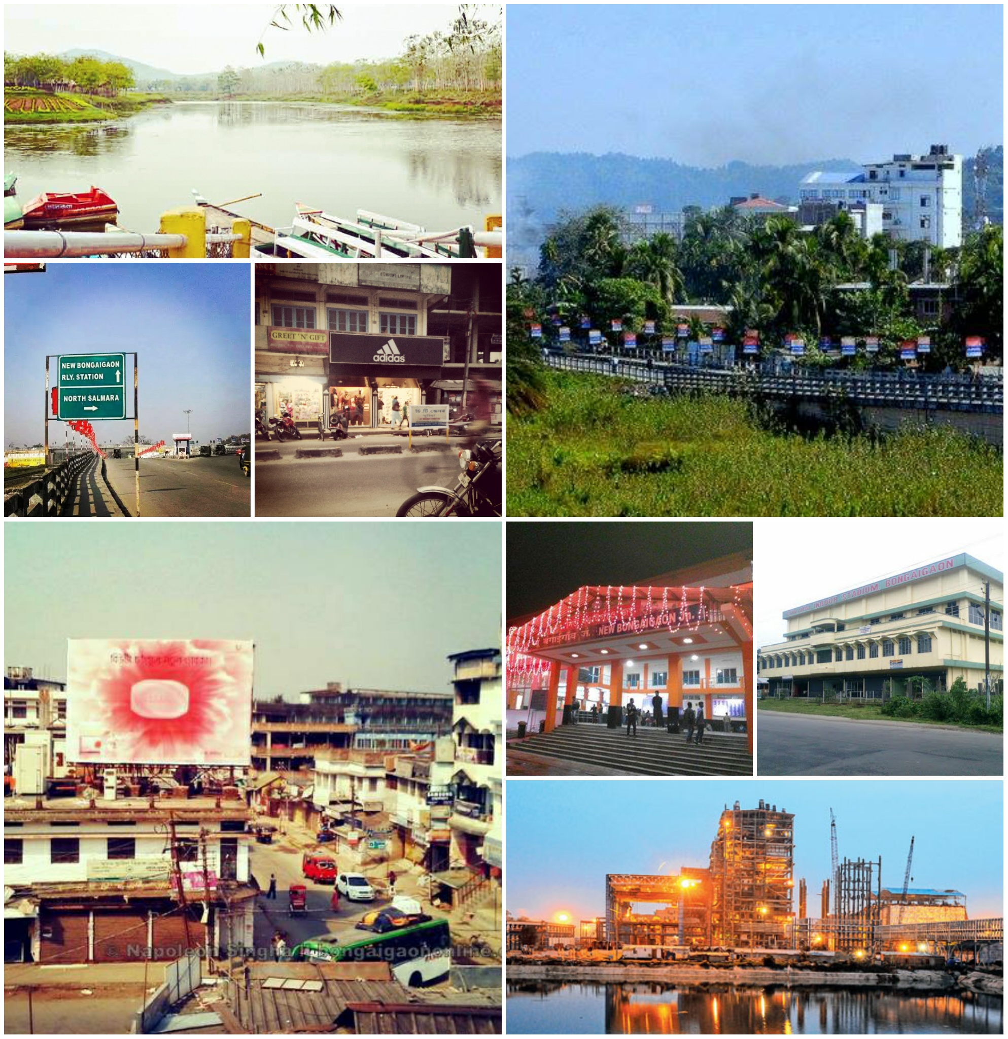
Basugaon
Basugaon (IPA:ˈbɑːsʊˌgɑ̃ʊ) is a town and a town area committee in Chirang district in the state of Assam, India.
Basugaon Wikipedia Page

About Our Data
The data on this page is estimated using a number of publicly available tools and resources. It is provided without warranty, and could contain inaccuracies. Use at your own risk.