Chushul Facts
| Local Time | |
| Timezone | India Standard Time |
| Lat & Lng | 33.59940, 78.64633 |
Map of Chushul
Interactive Map
Recent Nearby Earthquakes
Magnitude 3.0 and greater
| Date▼ | Time↕ | Magnitude↕ | Distance↕ | Depth↕ | Location↕ | Link |
|---|---|---|---|---|---|---|
| 1/10/19 | 2:52 AM | 4.6 | 92.9 km | 34,510 m | 64km ENE of Leh, India | usgs.gov |
| 1/6/19 | 11:10 PM | 4.3 | 86.7 km | 10,000 m | 43km E of Leh, India | usgs.gov |
| 10/29/18 | 4:02 PM | 4.1 | 80.9 km | 10,000 m | 36km ESE of Leh, India | usgs.gov |
| 10/29/18 | 2:56 PM | 4.5 | 93.2 km | 10,000 m | 59km ENE of Leh, India | usgs.gov |
| 10/29/18 | 2:43 PM | 4.9 | 85.4 km | 10,000 m | 50km E of Leh, India | usgs.gov |
| 10/29/18 | 6:27 AM | 4.6 | 92.9 km | 10,000 m | 48km ENE of Leh, India | usgs.gov |
| 6/7/18 | 6:51 AM | 4.4 | 88.8 km | 10,000 m | 43km E of Leh, India | usgs.gov |
| 12/10/17 | 10:58 PM | 4.6 | 80.1 km | 35,550 m | 92km E of Leh, India | usgs.gov |
| 3/17/16 | 4:47 PM | 4.1 | 72.7 km | 31,900 m | 46km ESE of Leh, India | usgs.gov |
| 11/21/14 | 10:45 PM | 4.3 | 94.8 km | 36,660 m | 123km NNW of Rutog, China | usgs.gov |
Source: U.S. Geological Survey (USGS)
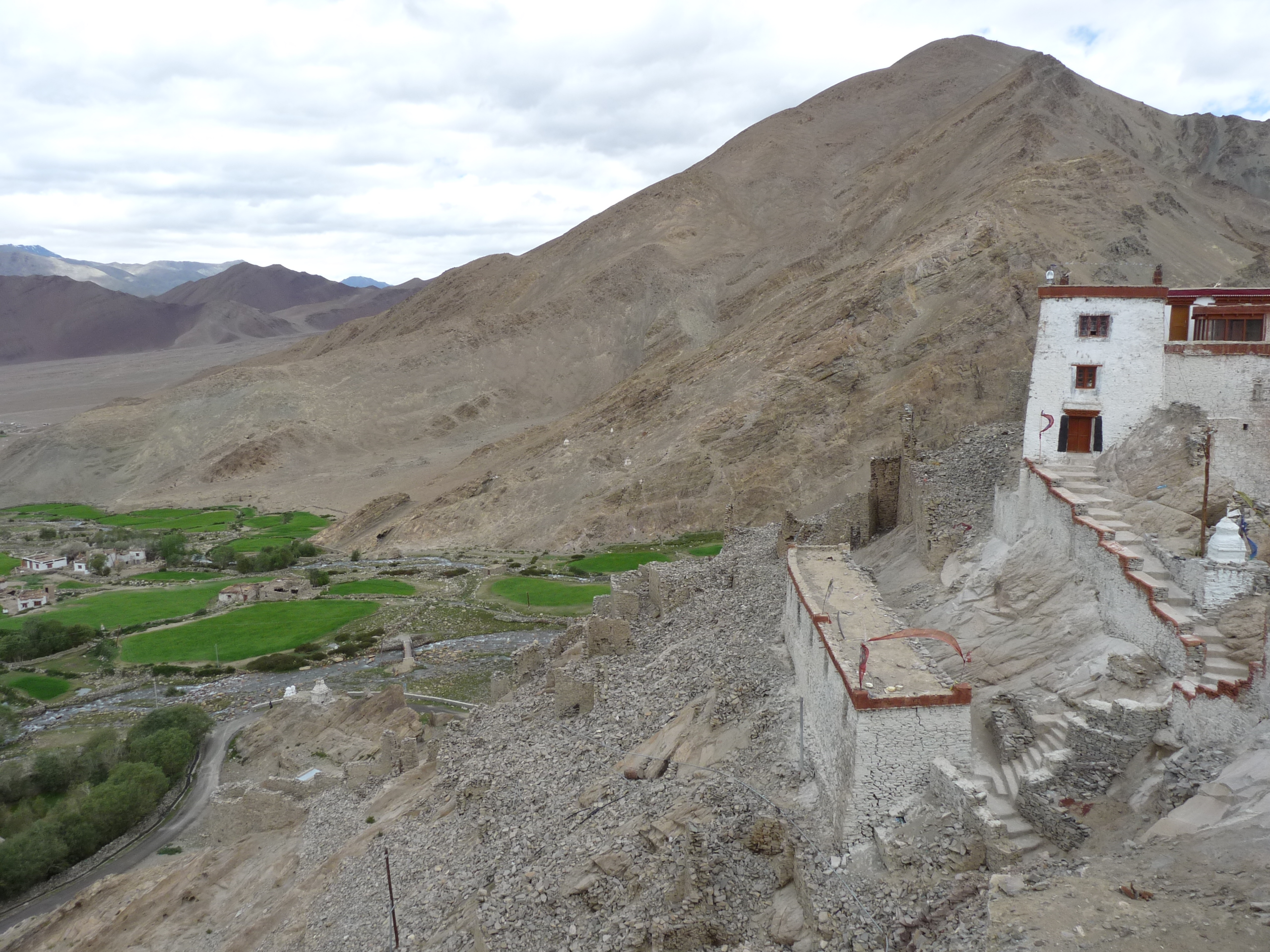
Chushul
Chushul is a village in the Leh district of Jammu and Kashmir, India. It is located in the Leh tehsil, in the area known as "Chushul Valley".
Chushul Wikipedia Page

About Our Data
The data on this page is estimated using a number of publicly available tools and resources. It is provided without warranty, and could contain inaccuracies. Use at your own risk.