Categories in Hājo
Car partsCar repairGas stationMotorcycle dealersMotorcycle repairParking lots and garagesAgricultural wholesaleTractors and farm equipmentWholesale of construction suppliesWholesale of machineryClothing storesJewelers and watchesMen's clothingShoe storesWomen's clothingMobile phone storesHindu templeMosquesOther membership organizationsPost officeReligionComputer repairElectronics repairElectronics storesHardware storeCultural educationEducationHigher education (colleges and universities)Physical educationPreschools and kindergartensPrimary and elementary schoolsPhotographySpecialized designAll food and beverageBakeriesButcherCafesCandy storesFast food restaurantsFruits and vegetablesGrocery stores and supermarketsInternet cafesRestaurantsFurniture storesHousehold appliances and goodsRepair of computers and household goodsRepair otherAtm'sBanksCemeteries and crematoriumsHospitalsMedical laboratoriesPharmacies and drug storesBarbersBeauty salonsFitness centersApartmentsBook stores and newsstandsBottled water and beveragesDepartment storesGifts, cards and party suppliesMail order and web storesRetail not in storesSecond hand storesShoppingShopping otherTobacco storesBicyclesPlaygroundPublic parksBuses and trainsCouriers and package deliveryHoliday homes, cabins and resortsHotels and motelsOther accommodationOther transport activitiesTravel agenciesTravel and transportationUnreachable
Industries
Business Distribution by Industry in Hājo
| Industry Description | Number of Establishments | Average Google Rating |
|---|---|---|
| Religion | 5 | 4.6 |
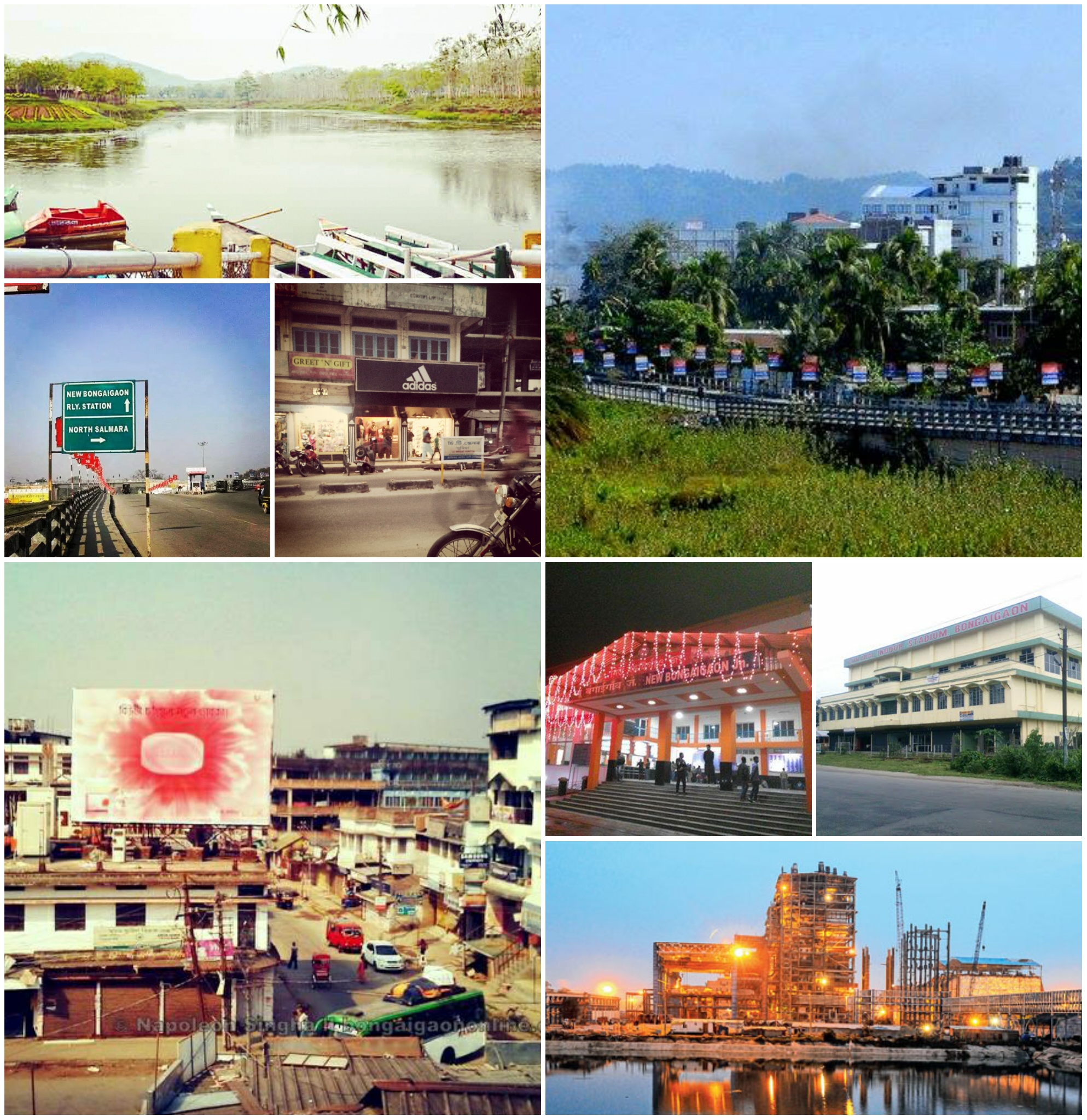
Hājo Facts
| Area | 348.9 km² |
| Population | 69,621 |
| Male Population | 35,611 (51.1%) |
| Female Population | 34,010 (48.9%) |
| Population change (1975 to 2020) | +90.0% |
| Population change (2000 to 2020) | +20.9% |
| Median Age | 25.8 years (Male: 26, Female: 25.6) |
| Neighborhoods | Hajo |
| Local Time | |
| Timezone | India Standard Time |
| Lat & Lng | 26.24520, 91.52525 |
| Pin Codes | 781102 |
Map of Hājo
Interactive Map
Hājo Population
Years 1975 to 2020
| Data | 1975 | 1990 | 2000 | 2015 | 2020 |
|---|---|---|---|---|---|
| Population | 36,641 | 49,782 | 57,570 | 65,800 | 69,621 |
| Population Density | 105 / km² | 142.7 / km² | 165 / km² | 188.6 / km² | 199.5 / km² |
Sources: JRC (European Commission's Joint Research Centre) work on the GHS built-up grid
Hājo Population change from 2000 to 2015
Increase of 14.3% from year 2000 to 2015
| Location | Change since 1975 | Change since 1990 | Change since 2000 |
|---|---|---|---|
| Hājo | +79.6% | +32.2% | +14.3% |
| Assam | +110.1% | +49.1% | +23.4% |
| India | +111.1% | +50.6% | +24.5% |
Sources: JRC (European Commission's Joint Research Centre) work on the GHS built-up grid
Hājo Median Age
Median Age: 25.8 years
| Location | Median Age | Median Age (Female) | Median Age (Male) |
|---|---|---|---|
| Hājo | 25.8 yrs | 25.6 yrs | 26 yrs |
| Assam | 23.9 yrs | 23.8 yrs | 24 yrs |
| India | 24.9 yrs | 25.4 yrs | 24.5 yrs |
Sources: CIESIN (Center for International Earth Science Information Network)
Hājo Population Density
Population Density: 200 / km²
| Location | Population | Area | Density |
|---|---|---|---|
| Hājo | 69,621 | 348.9 km² | 200 / km² |
| Assam | 33.5 million | 78,481.8 km² | 427 / km² |
| India | 1,307 million | 3,083,563.4 km² | 424 / km² |
Sources: JRC (European Commission's Joint Research Centre) work on the GHS built-up grid
Hājo Historical and Projected Population
Estimated Population from 0 to 2100
Sources:
- JRC (European Commission's Joint Research Centre) work on the GHS built-up grid
- CIESIN (Center for International Earth Science Information Network)
- [Link] Klein Goldewijk, K., Beusen, A., Doelman, J., and Stehfest, E.: Anthropogenic land use estimates for the Holocene – HYDE 3.2, Earth Syst. Sci. Data, 9, 927–953, https://doi.org/10.5194/essd-9-927-2017, 2017.
Pin Codes
Percentage of businesses by Postal Codes in Hājo
Price Distribution
Business distribution by price for Hājo
Human Development Index (HDI)
Statistic composite index of life expectancy, education, and per capita income.
Source: [Link] Kummu, M., Taka, M. &Guillaume, J. Gridded global datasets for Gross Domestic Product and Human Development Index over 1990–2015. Sci Data 5, 180004 (2018) doi:10.1038/sdata.2018.4
Hājo CO2 Emissions
Carbon Dioxide (CO2) Emissions Per Capita in Tonnes Per Year
| Location | CO2 Emissions | CO2 Emissions Per Capita | CO2 Emissions Intensity |
|---|---|---|---|
| Hājo | 92,665 tn | 1.33 tn | 265.6 tons/km² |
| Assam | 42,390,546 tn | 1.26 tn | 540.1 tons/km² |
| India | 1,928,568,344 tn | 1.48 tn | 625.4 tons/km² |
Sources: [Link] Moran, D., Kanemoto K; Jiborn, M., Wood, R., Többen, J., and Seto, K.C. (2018) Carbon footprints of 13,000 cities. Environmental Research Letters DOI: 10.1088/1748-9326/aac72a
Hājo CO2 Emissions
| 2013 CO2 emissions (tonnes/year) | 92,665 tn |
| 2013 CO2 emissions (tonnes/year) per capita | 1.33 tn |
| 2013 CO2 emissions intensity (tonnes/km²/year) | 265.6 tons/km² |
Natural Hazards Risk
Relative risk out of 10
| Hazard | Risk Level |
|---|---|
| Drought | High (10) |
| Flood | High (10) |
| Earthquake | High (8.2) |
| Landslide | Medium (7) |
* Risk, particularly concerning flood or landslide, may not be for the entire area.
Sources:
- Dilley, M., R.S. Chen, U. Deichmann, A.L. Lerner-Lam, M. Arnold, J. Agwe, P. Buys, O. Kjekstad, B. Lyon, and G. Yetman. 2005. Natural Disaster Hotspots: A Global Risk Analysis. Washington, D.C.: World Bank. https://doi.org/10.1596/0-8213-5930-4.
- Center for Hazards and Risk Research - CHRR - Columbia University, Center for International Earth Science Information Network - CIESIN - Columbia University, and Norwegian Geotechnical Institute - NGI. 2005. Global Landslide Hazard Distribution. Palisades, NY: NASA Socioeconomic Data and Applications Center (SEDAC). https://doi.org/10.7927/H4P848VZ.
- Center for Hazards and Risk Research - CHRR - Columbia University, Center for International Earth Science Information Network - CIESIN - Columbia University, and International Research Institute for Climate and Society - IRI - Columbia University. 2005. Global Drought Hazard Frequency and Distribution. Palisades, NY: NASA Socioeconomic Data and Applications Center (SEDAC). https://doi.org/10.7927/H4VX0DFT.
- Center for Hazards and Risk Research - CHRR - Columbia University, Center for International Earth Science Information Network - CIESIN - Columbia University. 2005. Global Flood Hazard Frequency and Distribution. Palisades, NY: NASA Socioeconomic Data and Applications Center (SEDAC). https://doi.org/10.7927/H4668B3D.
- Center for Hazards and Risk Research - CHRR - Columbia University, Center for International Earth Science Information Network - CIESIN - Columbia University. 2005. Global Earthquake Hazard Distribution - Peak Ground Acceleration. Palisades, NY: NASA Socioeconomic Data and Applications Center (SEDAC). https://doi.org/10.7927/H4BZ63ZS.
Recent Nearby Earthquakes
Magnitude 3.0 and greater
| Date▼ | Time↕ | Magnitude↕ | Distance↕ | Depth↕ | Location↕ | Link |
|---|---|---|---|---|---|---|
| 3/21/19 | 2:30 PM | 4.4 | 80.1 km | 10,000 m | 29km NW of Nongstoin, India | usgs.gov |
| 9/25/18 | 3:47 AM | 4.4 | 67.3 km | 10,000 m | 29km ESE of Goalpara, India | usgs.gov |
| 8/17/18 | 7:04 PM | 3.8 | 90.1 km | 10,000 m | 36km WNW of Nongstoin, India | usgs.gov |
| 8/11/18 | 10:04 AM | 3.8 | 83.5 km | 10,000 m | 8km SSW of Panbang, Bhutan | usgs.gov |
| 12/11/17 | 3:35 AM | 4.6 | 88 km | 10,000 m | 46km WNW of Nongstoin, India | usgs.gov |
| 4/25/17 | 4:14 PM | 4.3 | 94 km | 31,190 m | 40km WNW of Nongstoin, India | usgs.gov |
| 2/12/17 | 4:05 AM | 4.4 | 88 km | 36,940 m | 16km WNW of Nongstoin, India | usgs.gov |
| 1/24/17 | 12:25 PM | 4.3 | 75.7 km | 35,000 m | 8km N of Shillong, India | usgs.gov |
| 5/7/16 | 9:43 AM | 4.1 | 97.2 km | 37,620 m | 14km NE of Cherrapunji, India | usgs.gov |
| 3/28/16 | 6:40 PM | 4 | 89.7 km | 10,000 m | 24km SSE of Goalpara, India | usgs.gov |
Source: U.S. Geological Survey (USGS)


About Our Data
The data on this page is estimated using a number of publicly available tools and resources. It is provided without warranty, and could contain inaccuracies. Use at your own risk.