Categories in Mudigere
Industries
Business Distribution by Industry in Mudigere
| Industry Description | Number of Establishments | Average Google Rating |
|---|---|---|
| Shopping | 9 | 4.1 |
| Other accommodation | 8 | 4.4 |
Mudigere Facts
| Area | 21.8 km² |
| Population | 80,160 |
| Male Population | 39,498 (49.3%) |
| Female Population | 40,662 (50.7%) |
| Population change (1975 to 2020) | -10.3% |
| Population change (2000 to 2020) | -6.7% |
| Median Age | 30.2 years (Male: 30.1, Female: 30.4) |
| Area Codes | 8263 |
| Neighborhoods | Bilagola, Ganganamakki, JP Nagar, kanachuru |
| Local Time | |
| Timezone | India Standard Time |
| Lat & Lng | 13.13353, 75.64160 |
| Pin Codes | 577113, 577121, 577122, 577124, 577132, More |
Map of Mudigere
Interactive Map
Mudigere Population
Years 1975 to 2020
| Data | 1975 | 1990 | 2000 | 2015 | 2020 |
|---|---|---|---|---|---|
| Population | 89,332 | 78,818 | 85,916 | 75,416 | 80,160 |
| Population Density | 4,107.2 / km² | 3,623.8 / km² | 3,950.2 / km² | 3,467.4 / km² | 3,685.5 / km² |
Mudigere Population change from 2000 to 2015
Decrease of 12.2% from year 2000 to 2015
| Location | Change since 1975 | Change since 1990 | Change since 2000 |
|---|---|---|---|
| Mudigere | -15.6% | -4.3% | -12.2% |
| Karnataka | +93% | +43.6% | +21.3% |
| India | +111.1% | +50.6% | +24.5% |
Mudigere Median Age
Median Age: 30.2 years
| Location | Median Age | Median Age (Female) | Median Age (Male) |
|---|---|---|---|
| Mudigere | 30.2 yrs | 30.4 yrs | 30.1 yrs |
| Karnataka | 27.3 yrs | 27.7 yrs | 26.9 yrs |
| India | 24.9 yrs | 25.4 yrs | 24.5 yrs |
Mudigere Population Density
Population Density: 3,686 / km²
| Location | Population | Area | Density |
|---|---|---|---|
| Mudigere | 80,160 | 21.8 km² | 3,686 / km² |
| Karnataka | 65.4 million | 191,736.8 km² | 341 / km² |
| India | 1,307 million | 3,083,563.4 km² | 424 / km² |
Mudigere Historical and Projected Population
Estimated Population from 0 to 2100
- JRC (European Commission's Joint Research Centre) work on the GHS built-up grid
- CIESIN (Center for International Earth Science Information Network)
- [Link] Klein Goldewijk, K., Beusen, A., Doelman, J., and Stehfest, E.: Anthropogenic land use estimates for the Holocene – HYDE 3.2, Earth Syst. Sci. Data, 9, 927–953, https://doi.org/10.5194/essd-9-927-2017, 2017.
Area Codes
Percentage Area Codes used by businesses in Mudigere
Human Development Index (HDI)
Statistic composite index of life expectancy, education, and per capita income.
Mudigere CO2 Emissions
Carbon Dioxide (CO2) Emissions Per Capita in Tonnes Per Year
| Location | CO2 Emissions | CO2 Emissions Per Capita | CO2 Emissions Intensity |
|---|---|---|---|
| Mudigere | 119,931 tn | 1.5 tn | 5,514.1 tons/km² |
| Karnataka | 96,165,493 tn | 1.47 tn | 501.5 tons/km² |
| India | 1,928,568,344 tn | 1.48 tn | 625.4 tons/km² |
| 2013 CO2 emissions (tonnes/year) | 119,931 tn |
| 2013 CO2 emissions (tonnes/year) per capita | 1.5 tn |
| 2013 CO2 emissions intensity (tonnes/km²/year) | 5,514.1 tons/km² |
Natural Hazards Risk
Relative risk out of 10
| Hazard | Risk Level |
|---|---|
| Drought | Medium (4) |
* Risk, particularly concerning flood or landslide, may not be for the entire area.
- Dilley, M., R.S. Chen, U. Deichmann, A.L. Lerner-Lam, M. Arnold, J. Agwe, P. Buys, O. Kjekstad, B. Lyon, and G. Yetman. 2005. Natural Disaster Hotspots: A Global Risk Analysis. Washington, D.C.: World Bank. https://doi.org/10.1596/0-8213-5930-4.
- Center for Hazards and Risk Research - CHRR - Columbia University, Center for International Earth Science Information Network - CIESIN - Columbia University, and International Research Institute for Climate and Society - IRI - Columbia University. 2005. Global Drought Hazard Frequency and Distribution. Palisades, NY: NASA Socioeconomic Data and Applications Center (SEDAC). https://doi.org/10.7927/H4VX0DFT.
Mudigere
Mudigere ( Kannada: ಮೂಡಿಗೆರೆ) is a panchayat town and taluka in Chikkamagaluru district in the Indian state of Karnataka. It is 35 km from the district headquarters. Several pilgrimage sites are in the taluka including Hornadu (64 km) and Kalasa (52 ..
Mudigere Wikipedia Page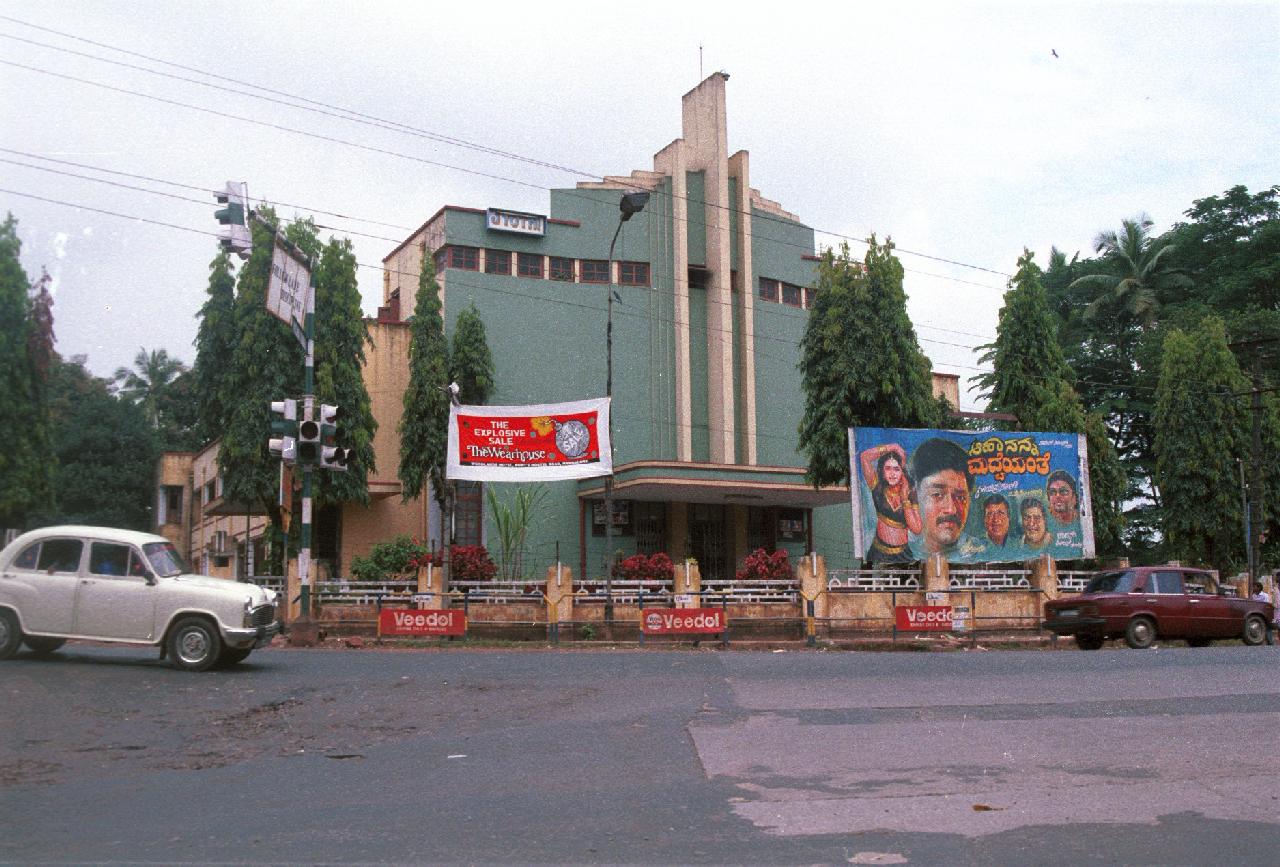
About Our Data
The data on this page is estimated using a number of publicly available tools and resources. It is provided without warranty, and could contain inaccuracies. Use at your own risk.