Munsiyari Facts
| Local Time | |
| Timezone | India Standard Time |
| Lat & Lng | 30.60000, 80.15000 |
Map of Munsiyari
Interactive Map
Recent Nearby Earthquakes
Magnitude 3.0 and greater
| Date▼ | Time↕ | Magnitude↕ | Distance↕ | Depth↕ | Location↕ | Link |
|---|---|---|---|---|---|---|
| 11/11/18 | 7:07 AM | 4.5 | 88.8 km | 10,000 m | 13km NE of Dharchula, India | usgs.gov |
| 4/19/18 | 10:52 PM | 4 | 77 km | 29,830 m | 54km S of Garyarsa, China | usgs.gov |
| 12/1/16 | 4:52 PM | 5.2 | 83 km | 31,960 m | 17km NNE of Dharchula, India | usgs.gov |
| 9/29/15 | 9:27 AM | 4.6 | 70.3 km | 35,000 m | 22km NW of Darchula, Nepal | usgs.gov |
| 8/5/15 | 7:15 PM | 4.1 | 31.6 km | 10,000 m | 60km NNW of Darchula, Nepal | usgs.gov |
| 4/1/15 | 9:23 PM | 4.9 | 67.3 km | 10,000 m | 10km SSE of Pipalkoti, India | usgs.gov |
| 2/14/15 | 12:44 AM | 4.2 | 85.7 km | 32,720 m | 44km S of Garyarsa, China | usgs.gov |
| 2/13/15 | 10:21 PM | 4.1 | 71.8 km | 29,910 m | 59km S of Garyarsa, China | usgs.gov |
| 12/6/14 | 4:27 AM | 4.1 | 14 km | 10,000 m | 45km ENE of Joshimath, India | usgs.gov |
| 8/24/14 | 8:29 AM | 4.4 | 64.9 km | 10,000 m | 27km NE of Bageshwar, India | usgs.gov |
Source: U.S. Geological Survey (USGS)
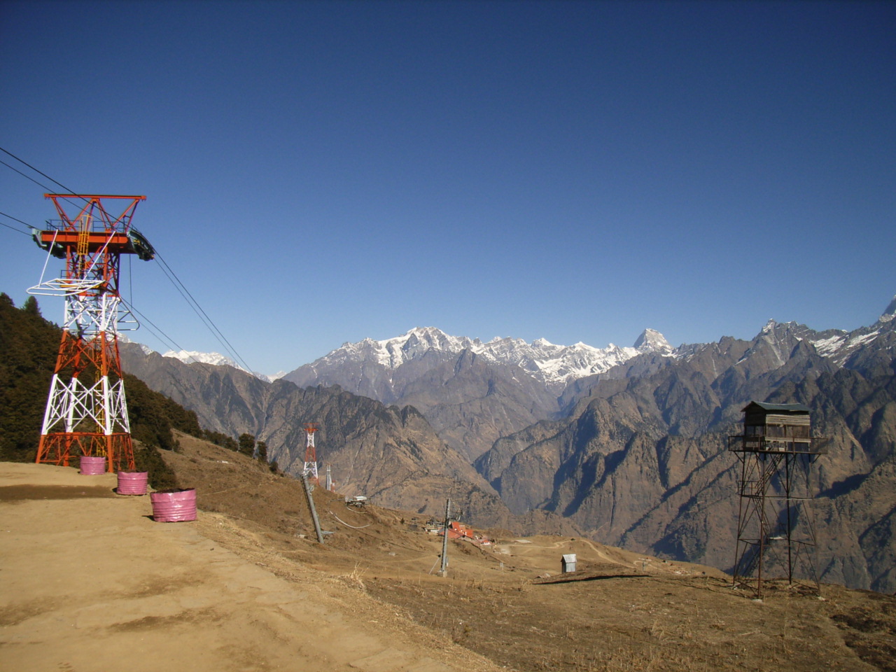
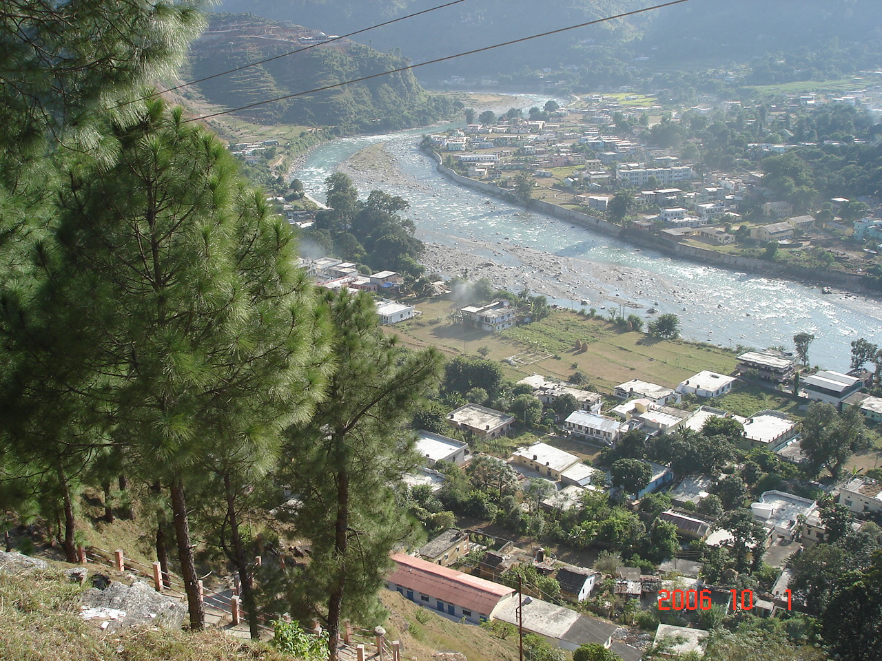
Munsiyari
Munsyari(Devanagari: मुनस्यारी )is the name of a small town, a Tehsil and Sub Division in the Pithoragarh District in the hill-state of Uttarakhand, India. lies at the base of the great Himalayan mountain range, at an elevation of about 2,200 m (7,2..
Munsiyari Wikipedia Page

About Our Data
The data on this page is estimated using a number of publicly available tools and resources. It is provided without warranty, and could contain inaccuracies. Use at your own risk.