Pāt Facts
| Local Time | |
| Timezone | India Standard Time |
| Lat & Lng | 29.95907, 78.62180 |
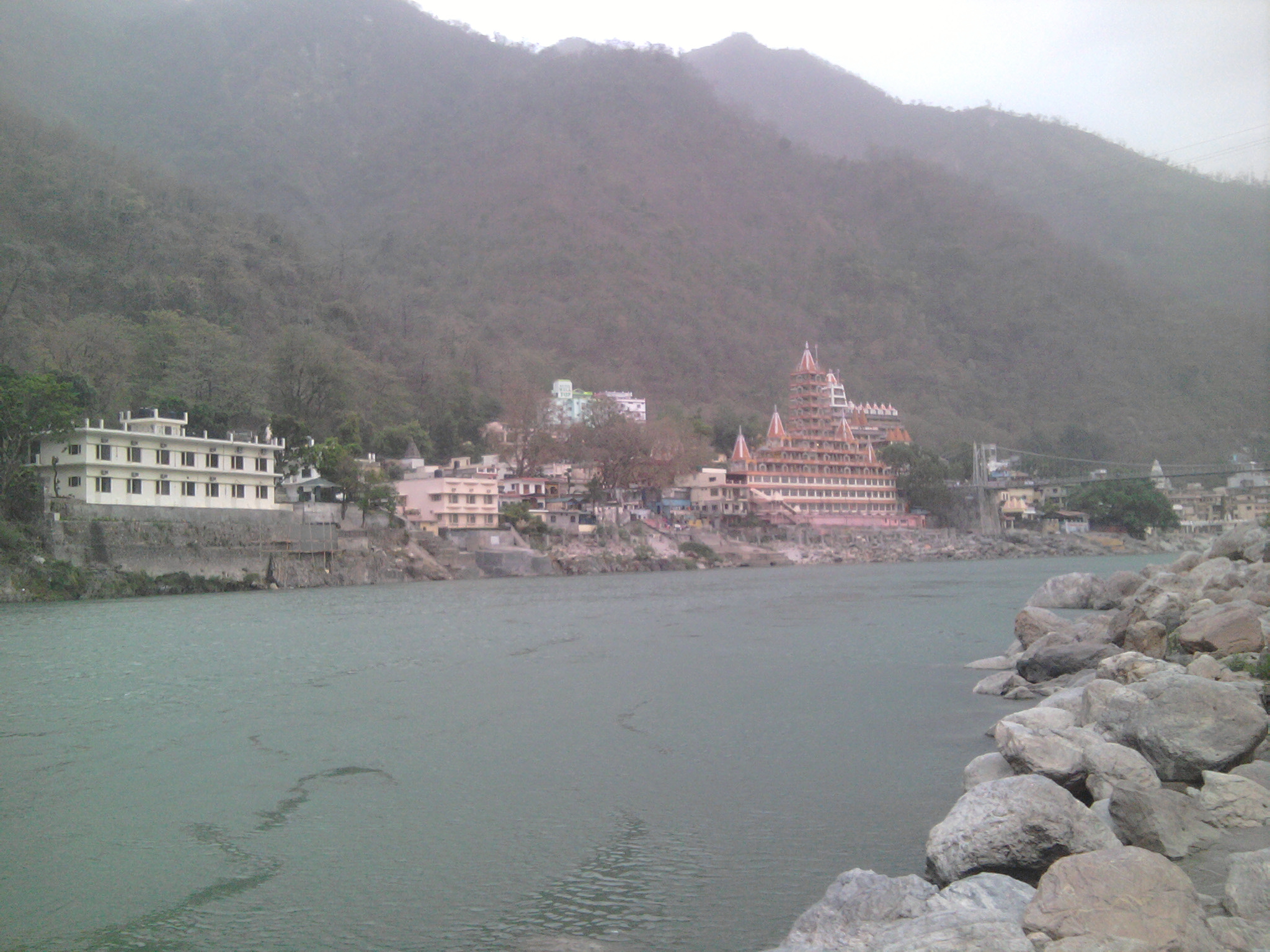
Map of Pāt
Interactive Map
Recent Nearby Earthquakes
Magnitude 3.0 and greater
| Date▼ | Time↕ | Magnitude↕ | Distance↕ | Depth↕ | Location↕ | Link |
|---|---|---|---|---|---|---|
| 6/6/18 | 5:41 PM | 4.5 | 92.9 km | 10,000 m | 45km E of Uttarkashi, India | usgs.gov |
| 12/6/17 | 3:19 PM | 5.1 | 91 km | 10,000 m | 35km NW of Pipalkoti, India | usgs.gov |
| 2/6/17 | 5:03 PM | 5.1 | 93.1 km | 16,050 m | 36km NW of Pipalkoti, India | usgs.gov |
| 7/18/15 | 11:48 PM | 4.4 | 74.5 km | 10,000 m | 24km NE of Rudraprayag, India | usgs.gov |
| 4/1/15 | 9:23 PM | 4.9 | 96.1 km | 10,000 m | 10km SSE of Pipalkoti, India | usgs.gov |
| 6/20/11 | 6:27 AM | 4.9 | 99.8 km | 14,300 m | Uttaranchal, India | usgs.gov |
| 7/10/10 | 3:16 AM | 4.6 | 96 km | 13,100 m | Uttaranchal, India | usgs.gov |
| 5/3/10 | 5:15 PM | 4 | 45.5 km | 13,500 m | Uttaranchal, India | usgs.gov |
| 8/16/08 | 7:16 PM | 3.8 | 79.8 km | 10,000 m | Haryana - Uttaranchal region, India | usgs.gov |
| 11/8/07 | 4:42 AM | 3.7 | 78 km | 10,000 m | Uttaranchal-Uttar Pradesh border region, India | usgs.gov |
Source: U.S. Geological Survey (USGS)


About Our Data
The data on this page is estimated using a number of publicly available tools and resources. It is provided without warranty, and could contain inaccuracies. Use at your own risk.