Araden Facts
| Local Time | |
| Timezone | Arabian Standard Time |
| Lat & Lng | 37.10894, 43.31806 |
Map of Araden
Interactive Map
Recent Nearby Earthquakes
Magnitude 3.0 and greater
| Date▼ | Time↕ | Magnitude↕ | Distance↕ | Depth↕ | Location↕ | Link |
|---|---|---|---|---|---|---|
| 7/10/19 | 10:56 AM | 4.3 | 14 km | 10,000 m | 33km NE of Sinah, Iraq | usgs.gov |
| 11/22/18 | 5:50 AM | 4.1 | 81.8 km | 10,000 m | 1km SW of Yenikoy, Turkey | usgs.gov |
| 8/2/13 | 1:10 AM | 4.2 | 68.9 km | 10,130 m | 17km E of Qada' Talkif, Iraq | usgs.gov |
| 3/13/13 | 6:23 AM | 4.3 | 48.1 km | 28,200 m | 28km ENE of Qada' Talkif, Iraq | usgs.gov |
| 3/11/13 | 2:57 PM | 4.9 | 49.9 km | 7,000 m | 35km NE of Qada' Talkif, Iraq | usgs.gov |
| 9/13/12 | 2:42 AM | 4.5 | 34.2 km | 9,100 m | Iraq | usgs.gov |
| 9/12/12 | 11:29 PM | 4.3 | 27.3 km | 9,300 m | Turkey-Iraq border region | usgs.gov |
| 8/5/12 | 8:37 PM | 5 | 46.7 km | 17,500 m | Turkey-Syria-Iraq border region | usgs.gov |
| 6/14/12 | 5:52 AM | 5.3 | 90.5 km | 5,400 m | Turkey-Syria-Iraq border region | usgs.gov |
| 12/6/11 | 3:46 PM | 4.5 | 38.1 km | 13,600 m | Turkey-Iraq border region | usgs.gov |
Source: U.S. Geological Survey (USGS)
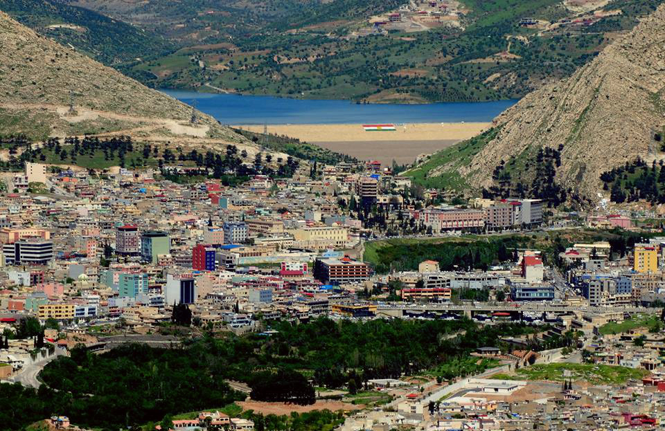
Araden
Araden (Syriac: ܐܪܕܢ) is an Assyrian village in Dohuk Governorate of Iraqi Kurdistan. It is located approximately 20-30 kilometers (12–19 miles) east of the city of Zakho. The homes lie on the side of the mountain, but the land stretches over 18 kilo..
Araden Wikipedia Page


About Our Data
The data on this page is estimated using a number of publicly available tools and resources. It is provided without warranty, and could contain inaccuracies. Use at your own risk.