Armota Facts
| Local Time | |
| Timezone | Arabian Standard Time |
| Lat & Lng | 36.06736, 44.60800 |
Map of Armota
Interactive Map
Recent Nearby Earthquakes
Magnitude 3.0 and greater
| Date▼ | Time↕ | Magnitude↕ | Distance↕ | Depth↕ | Location↕ | Link |
|---|---|---|---|---|---|---|
| 6/8/18 | 11:42 PM | 3.7 | 97.6 km | 10,000 m | 7km ENE of As Sulaymaniyah, Iraq | usgs.gov |
| 4/16/18 | 4:30 AM | 4.6 | 20.8 km | 10,000 m | 21km SSE of Kuysinjaq, Iraq | usgs.gov |
| 2/19/18 | 9:31 PM | 4.3 | 33 km | 10,000 m | 30km ENE of Kuysinjaq, Iraq | usgs.gov |
| 2/19/18 | 7:20 PM | 4.5 | 24.4 km | 10,000 m | 23km ESE of Kuysinjaq, Iraq | usgs.gov |
| 8/23/17 | 1:42 PM | 5.1 | 32.2 km | 8,000 m | 29km ENE of Kuysinjaq, Iraq | usgs.gov |
| 7/11/15 | 6:27 PM | 4.4 | 37.3 km | 6,000 m | 25km NNW of Chamchamal, Iraq | usgs.gov |
| 4/16/14 | 1:14 AM | 3.8 | 67.2 km | 10,000 m | 26km WNW of As Sulaymaniyah, Iraq | usgs.gov |
| 11/24/13 | 3:20 AM | 4.3 | 80.3 km | 10,560 m | 39km WNW of Baneh, Iran | usgs.gov |
| 8/8/10 | 5:35 PM | 4.3 | 96.5 km | 10,000 m | Iran-Iraq border region | usgs.gov |
| 3/20/08 | 9:32 AM | 4.3 | 56.1 km | 14,400 m | Iran-Iraq border region | usgs.gov |
Source: U.S. Geological Survey (USGS)
Armota
Armota (Syriac: ܐܪܡܥܘܛܐ; Kurdish: Harmota) is an Assyrian village that is outside the town of Koy Sinjaq in the Iraqi governorate of Arbil. It is a two-hour drive from Sulaimaniyah. village is a remote farming hamlet within a rural portion of nort..
Armota Wikipedia Page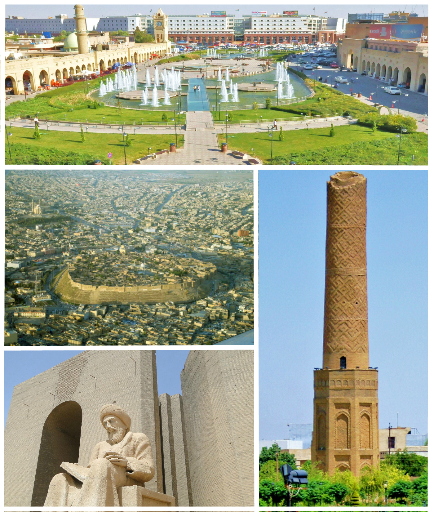

About Our Data
The data on this page is estimated using a number of publicly available tools and resources. It is provided without warranty, and could contain inaccuracies. Use at your own risk.