Categories in Abdol Rahim
Abdol Rahim Facts
| Local Time | |
| Timezone | Iran Standard Time |
| Lat & Lng | 34.62640, 49.01750 |
Map of Abdol Rahim
Interactive Map
Recent Nearby Earthquakes
Magnitude 3.0 and greater
| Date▼ | Time↕ | Magnitude↕ | Distance↕ | Depth↕ | Location↕ | Link |
|---|---|---|---|---|---|---|
| 10/18/18 | 3:14 PM | 4.4 | 91.4 km | 10,000 m | 17km W of Borujerd, Iran | usgs.gov |
| 7/28/17 | 1:04 AM | 4.7 | 95.9 km | 10,000 m | 12km SW of pamas, Iran | usgs.gov |
| 3/29/16 | 3:47 AM | 4.3 | 92.3 km | 12,220 m | 11km WSW of Famast, Iran | usgs.gov |
| 10/16/13 | 8:49 AM | 4.6 | 99 km | 2,000 m | 58km WNW of Saveh, Iran | usgs.gov |
| 6/27/12 | 2:25 AM | 4.7 | 72.6 km | 5,000 m | western Iran | usgs.gov |
| 5/27/09 | 12:10 AM | 4.3 | 86.4 km | 900 m | western Iran | usgs.gov |
| 5/26/09 | 11:52 PM | 4.9 | 82.8 km | 5,000 m | western Iran | usgs.gov |
| 5/1/08 | 12:15 AM | 4.5 | 93.7 km | 16,000 m | western Iran | usgs.gov |
| 2/20/08 | 1:13 AM | 4 | 97.8 km | 14,200 m | western Iran | usgs.gov |
| 8/11/06 | 7:30 PM | 4.5 | 66.1 km | 19,000 m | western Iran | usgs.gov |
Source: U.S. Geological Survey (USGS)
Abdol Rahim
Abdol Rahim (Persian: عبدالرحيم, also Romanized as Abdol Rahīm; also known as ‘Abd or Raḩīm, ‘Abdul Rahīm, and Deh-e ‘Abd or Raḩīm) is a village in Shur Dasht Rural District, Shara District, Hamadan County, Hamadan Province, Iran. At the 2006 censu..
Abdol Rahim Wikipedia Page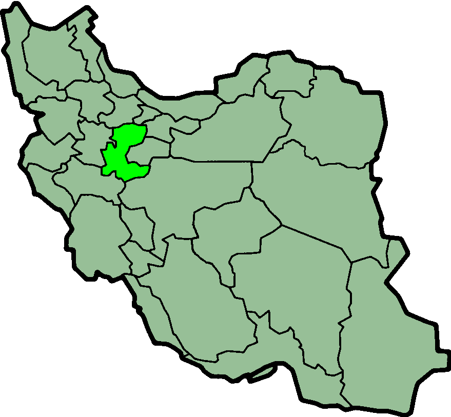
About Our Data
The data on this page is estimated using a number of publicly available tools and resources. It is provided without warranty, and could contain inaccuracies. Use at your own risk.