Chaqabol Facts
| Local Time | |
| Timezone | Iran Standard Time |
| Lat & Lng | 33.28085, 47.50900 |
Map of Chaqabol
Interactive Map
Recent Nearby Earthquakes
Magnitude 3.0 and greater
| Date▼ | Time↕ | Magnitude↕ | Distance↕ | Depth↕ | Location↕ | Link |
|---|---|---|---|---|---|---|
| 7/31/19 | 8:20 PM | 4.3 | 11.7 km | 10,000 m | 21km NNE of Abdanan, Iran | usgs.gov |
| 2/27/19 | 4:45 PM | 4.1 | 38.8 km | 10,000 m | 9km SE of Abdanan, Iran | usgs.gov |
| 2/27/19 | 5:42 AM | 4.6 | 27.9 km | 10,000 m | 14km ENE of Abdanan, Iran | usgs.gov |
| 12/24/18 | 4:58 AM | 4.1 | 61.2 km | 10,000 m | 29km E of Dehloran, Iran | usgs.gov |
| 7/28/18 | 6:00 PM | 4.2 | 21.6 km | 10,000 m | 12km SSE of Kuhdasht, Iran | usgs.gov |
| 1/18/18 | 1:38 PM | 4.2 | 44.4 km | 10,000 m | 38km WNW of Abdanan, Iran | usgs.gov |
| 12/13/17 | 6:05 AM | 4.1 | 33.5 km | 10,000 m | 6km ENE of Kuhdasht, Iran | usgs.gov |
| 11/14/17 | 9:15 AM | 4.1 | 54.7 km | 10,000 m | 25km N of Kuhdasht, Iran | usgs.gov |
| 11/14/17 | 4:28 AM | 4.5 | 50.6 km | 10,000 m | 22km N of Kuhdasht, Iran | usgs.gov |
| 11/13/17 | 4:49 PM | 4.4 | 60.4 km | 10,000 m | 31km N of Kuhdasht, Iran | usgs.gov |
Source: U.S. Geological Survey (USGS)
Chaqabol
Chaqabol (Persian: چقابل, also Romanized as Chaqābol, Chaqābal, and Choqā Bol; also known as Choghā Bol) is a town in and the adminsitrative headquarters for Rumeshkhan County, Lorestan Province, Iran. At the 2006 census, its population was 4,801, ..
Chaqabol Wikipedia Page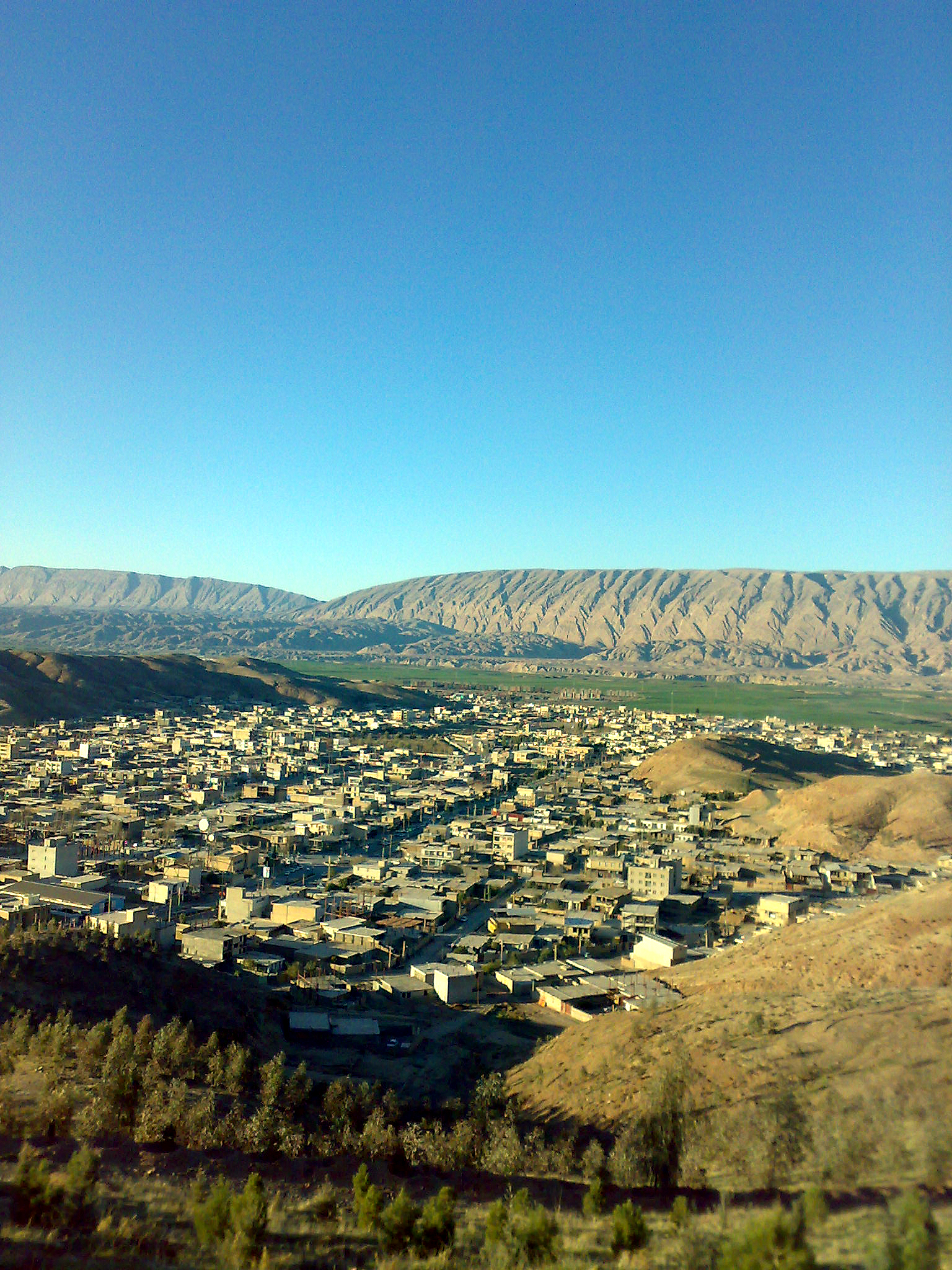

About Our Data
The data on this page is estimated using a number of publicly available tools and resources. It is provided without warranty, and could contain inaccuracies. Use at your own risk.