Chavar Facts
| Local Time | |
| Timezone | Iran Standard Time |
| Lat & Lng | 33.69530, 46.29790 |
Map of Chavar
Interactive Map
Recent Nearby Earthquakes
Magnitude 3.0 and greater
| Date▼ | Time↕ | Magnitude↕ | Distance↕ | Depth↕ | Location↕ | Link |
|---|---|---|---|---|---|---|
| 4/23/19 | 10:24 AM | 4.3 | 60.4 km | 10,000 m | 25km SSE of Mandali, Iraq | usgs.gov |
| 4/17/19 | 8:02 PM | 4.6 | 59.8 km | 10,000 m | 32km ENE of Mehran, Iran | usgs.gov |
| 4/1/19 | 10:53 AM | 4.4 | 59.6 km | 10,000 m | 28km SSE of Mandali, Iraq | usgs.gov |
| 4/1/19 | 10:35 AM | 4 | 58.7 km | 10,000 m | 36km SSE of Mandali, Iraq | usgs.gov |
| 4/1/19 | 10:16 AM | 4.8 | 47.7 km | 10,000 m | 22km ESE of Mandali, Iraq | usgs.gov |
| 4/1/19 | 10:07 AM | 5.3 | 50.7 km | 10,000 m | 27km SE of Mandali, Iraq | usgs.gov |
| 9/19/18 | 7:29 PM | 4.6 | 54 km | 10,000 m | 21km SE of Mandali, Iraq | usgs.gov |
| 5/22/18 | 11:36 AM | 4.2 | 56.9 km | 10,000 m | 8km NE of Mehran, Iran | usgs.gov |
| 3/7/18 | 7:01 PM | 4.1 | 26.2 km | 10,000 m | 30km N of Ilam, Iran | usgs.gov |
| 2/16/18 | 6:22 PM | 4 | 59.4 km | 10,000 m | 29km SSE of Mandali, Iraq | usgs.gov |
Source: U.S. Geological Survey (USGS)
Chavar
Chavar (Persian: چوار; also Romanized as Chavār, Chawār, and Chūār; also known as Kani Chavar (Persian: كانی چَوار) also Romanized as Kānī Chavār and Kānī Chawār) is a city in and the capital of Chavar District, in Ilam County, Ilam Province, Iran...
Chavar Wikipedia Page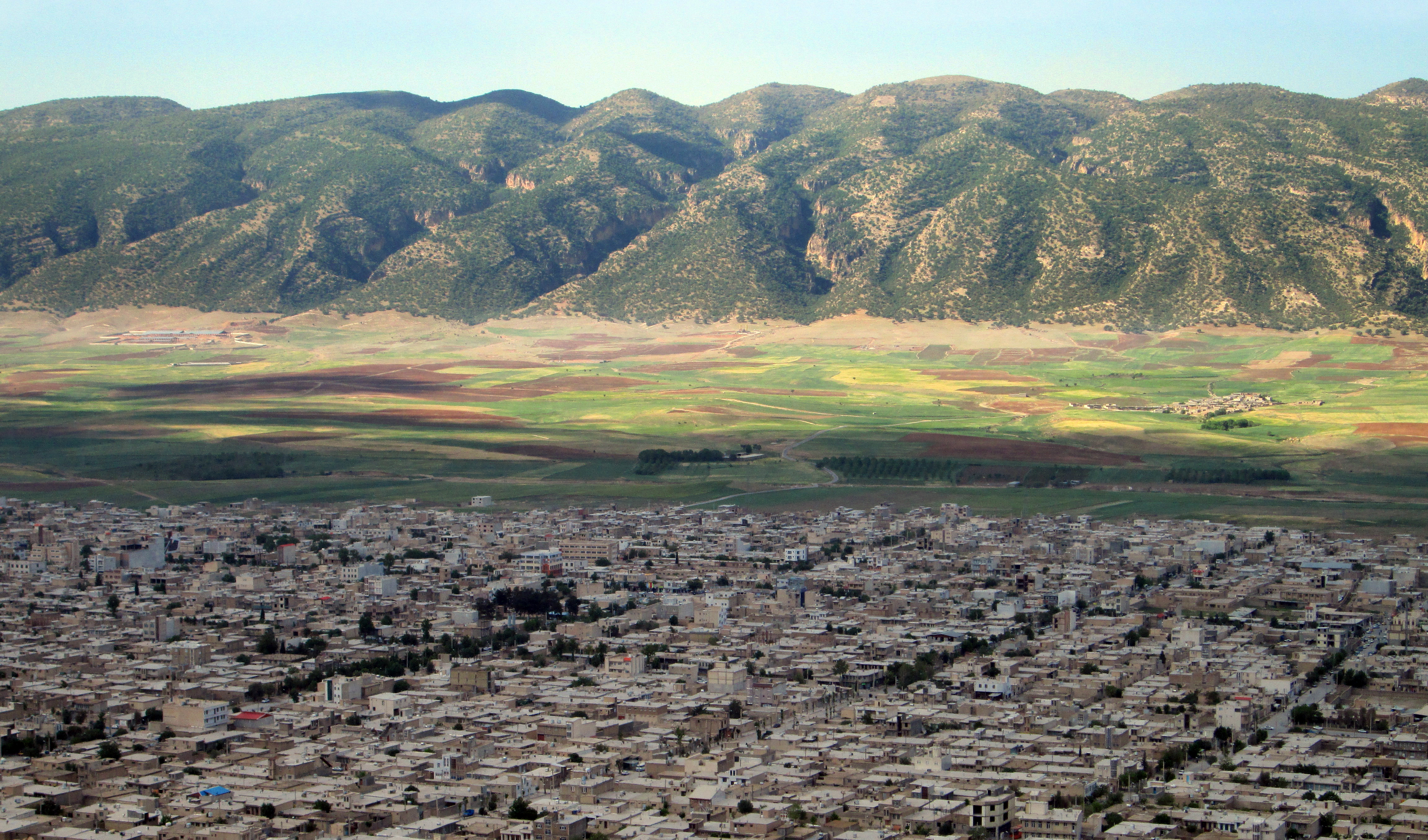
About Our Data
The data on this page is estimated using a number of publicly available tools and resources. It is provided without warranty, and could contain inaccuracies. Use at your own risk.