Disar Facts
| Local Time | |
| Timezone | Iran Standard Time |
| Lat & Lng | 36.91781, 50.61046 |
Map of Disar
Interactive Map
Recent Nearby Earthquakes
Magnitude 3.0 and greater
| Date▼ | Time↕ | Magnitude↕ | Distance↕ | Depth↕ | Location↕ | Link |
|---|---|---|---|---|---|---|
| 12/5/17 | 3:27 PM | 4.8 | 45.6 km | 10,000 m | 5km ESE of Langerud, Iran | usgs.gov |
| 5/10/15 | 10:08 PM | 4.3 | 69.4 km | 10,000 m | 47km NNW of Qazvin, Iran | usgs.gov |
| 7/27/12 | 9:39 PM | 4.4 | 66.2 km | 6,500 m | northern Iran | usgs.gov |
| 7/27/12 | 9:19 PM | 4.2 | 62.5 km | 6,100 m | northern Iran | usgs.gov |
| 9/13/08 | 7:24 PM | 4.2 | 80.7 km | 1,000 m | northern Iran | usgs.gov |
| 6/4/07 | 8:04 AM | 3.9 | 85 km | 3,900 m | northern Iran | usgs.gov |
| 2/22/06 | 11:19 PM | 4.1 | 91.4 km | 15,000 m | northern Iran | usgs.gov |
| 6/7/04 | 4:01 AM | 4.3 | 83.9 km | 14,100 m | northern Iran | usgs.gov |
| 5/30/04 | 7:26 PM | 4.4 | 99.4 km | 10,000 m | northern Iran | usgs.gov |
| 5/30/04 | 1:09 PM | 4.2 | 79.6 km | 10,000 m | northern Iran | usgs.gov |
Source: U.S. Geological Survey (USGS)
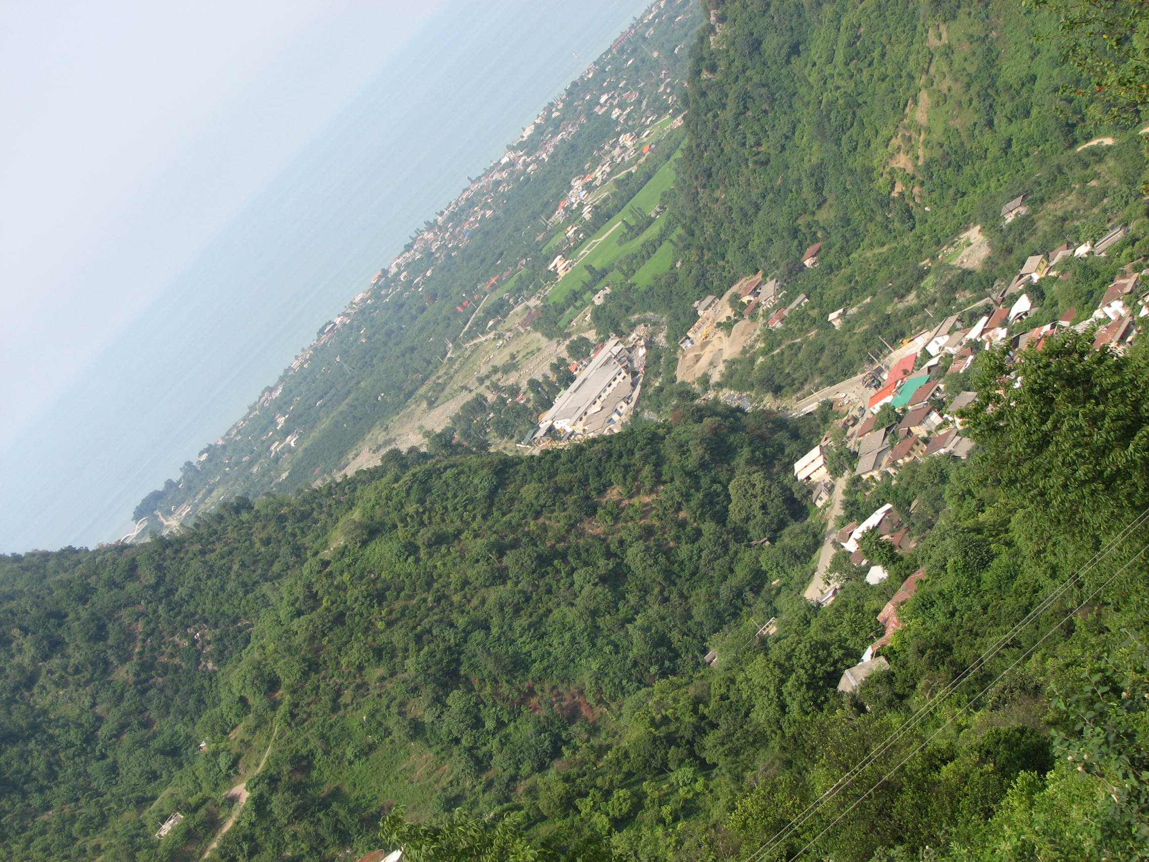
Disar
Disar (Persian: ديسر, also Romanized as Dīsar) is a village in Sakht Sar Rural District, in the Central District of Ramsar County, Mazandaran Province, Iran. At the 2006 census, its population was 115, in 37 families.
Disar Wikipedia Page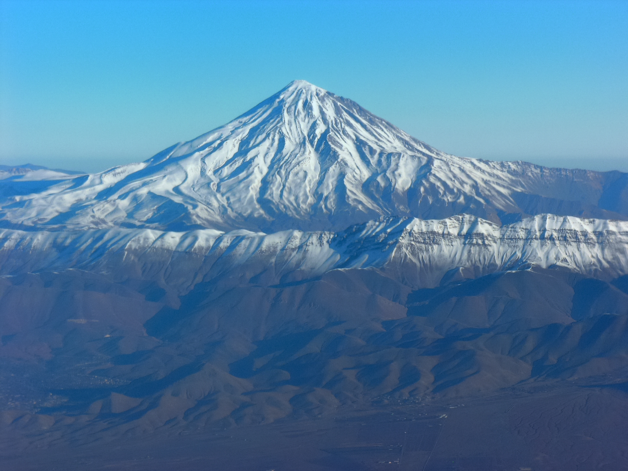

About Our Data
The data on this page is estimated using a number of publicly available tools and resources. It is provided without warranty, and could contain inaccuracies. Use at your own risk.