Gaz, Iran Facts
| Area Codes | 173 |
| Neighborhoods | شهرک لاله سرخ |
| Local Time | |
| Timezone | Iran Standard Time |
| Lat & Lng | 32.80482, 51.62087 |
Map of Gaz, Iran
Interactive Map
Recent Nearby Earthquakes
Magnitude 3.0 and greater
| Date▼ | Time↕ | Magnitude↕ | Distance↕ | Depth↕ | Location↕ | Link |
|---|---|---|---|---|---|---|
| 4/19/13 | 8:22 PM | 4.3 | 17.8 km | 8,000 m | 6km SSE of Dowlatabad, Iran | usgs.gov |
| 9/5/11 | 6:11 PM | 4.5 | 70.9 km | 10,000 m | central Iran | usgs.gov |
| 3/19/08 | 8:15 AM | 4.1 | 94.2 km | 21,000 m | central Iran | usgs.gov |
| 7/22/06 | 1:41 AM | 4.4 | 94.5 km | 44,800 m | central Iran | usgs.gov |
| 2/5/04 | 7:35 PM | 4.3 | 91.3 km | 40,400 m | central Iran | usgs.gov |
| 3/27/87 | 2:30 PM | 4.4 | 50.6 km | 33,000 m | central Iran | usgs.gov |
Source: U.S. Geological Survey (USGS)
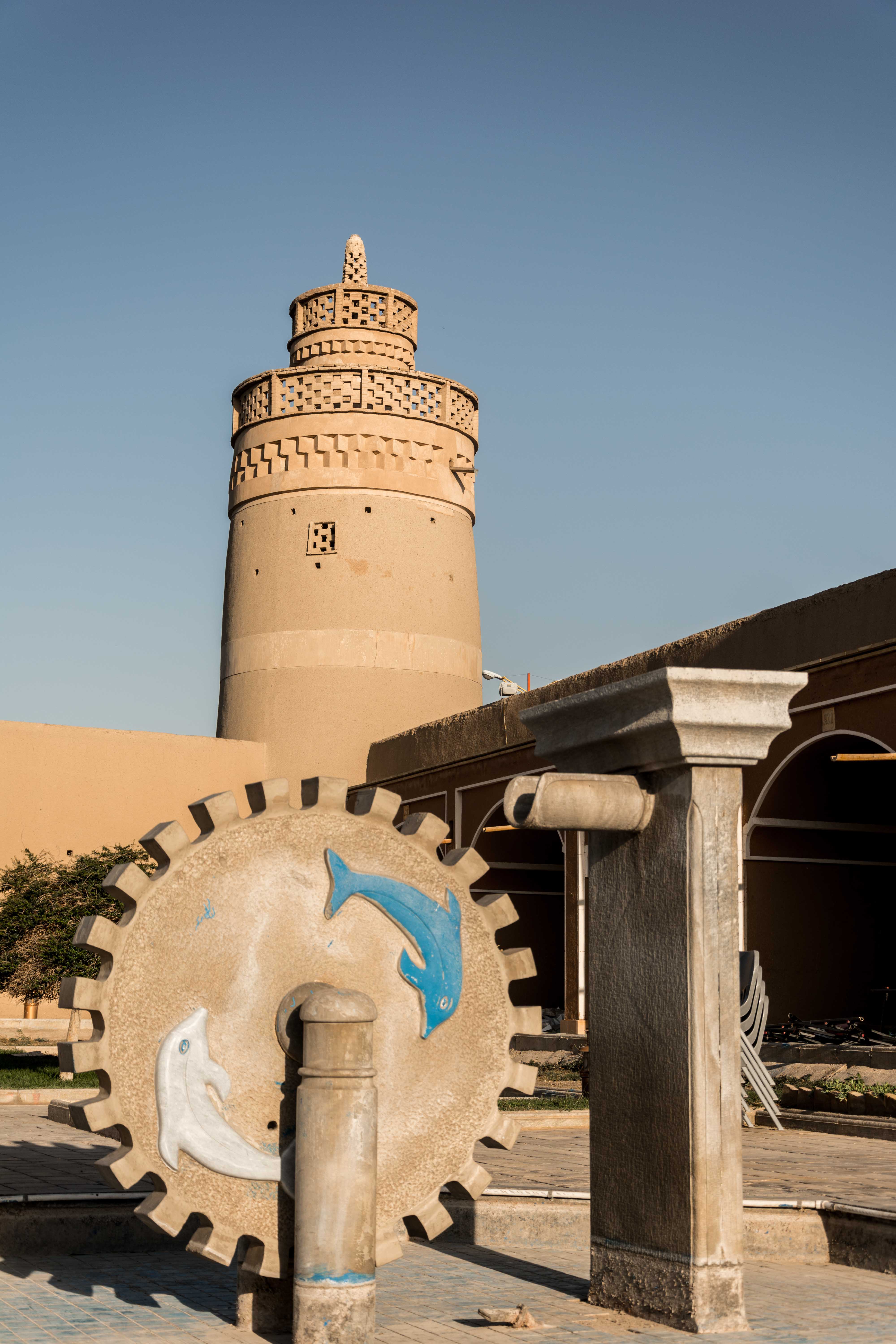
Gaz, Iran
Gaz (Persian: گز; also known as Jaz) is a city in the Central District of Shahin Shahr and Meymeh County, Isfahan Province, Iran. At the 2006 census, its population was 20,432, in 5,704 families.
Gaz, Iran Wikipedia Page

About Our Data
The data on this page is estimated using a number of publicly available tools and resources. It is provided without warranty, and could contain inaccuracies. Use at your own risk.