Gezafer Facts
| Local Time | |
| Timezone | Iran Standard Time |
| Lat & Lng | 38.45010, 45.40120 |
Map of Gezafer
Interactive Map
Recent Nearby Earthquakes
Magnitude 3.0 and greater
| Date▼ | Time↕ | Magnitude↕ | Distance↕ | Depth↕ | Location↕ | Link |
|---|---|---|---|---|---|---|
| 6/23/18 | 3:50 AM | 4.6 | 91.9 km | 10,000 m | 17km ESE of Saray, Turkey | usgs.gov |
| 4/16/18 | 12:02 AM | 3.5 | 0.9 km | 10,000 m | 33km W of Marand, Iran | usgs.gov |
| 12/2/17 | 11:58 AM | 4.4 | 99.3 km | 10,000 m | 35km WNW of Orumiyeh, Iran | usgs.gov |
| 6/22/16 | 4:57 PM | 4.3 | 48.3 km | 10,000 m | 8km W of Khvoy, Iran | usgs.gov |
| 6/22/16 | 10:47 AM | 4.3 | 50.7 km | 6,300 m | 14km SW of Khvoy, Iran | usgs.gov |
| 9/16/15 | 7:12 PM | 4.1 | 74.6 km | 5,500 m | 33km WNW of Khvoy, Iran | usgs.gov |
| 12/15/14 | 4:05 AM | 4.2 | 37 km | 24,310 m | 21km SSE of Qarah Zia' od Din, Iran | usgs.gov |
| 3/9/14 | 6:34 AM | 3.5 | 95.5 km | 16,700 m | 8km E of Tabriz, Iran | usgs.gov |
| 11/9/13 | 9:21 PM | 4.1 | 58.1 km | 3,300 m | 17km N of Salmas, Iran | usgs.gov |
| 11/7/13 | 8:03 PM | 4 | 55.6 km | 10,000 m | 19km N of Salmas, Iran | usgs.gov |
Source: U.S. Geological Survey (USGS)
Gezafer
Gezafer (Persian: گزافر, also Romanized as Gezāfer) is a village in Koshksaray Rural District, in the Central District of Marand County, East Azerbaijan Province, Iran. At the 2006 census, its population was 653, in 146 families.
Gezafer Wikipedia Page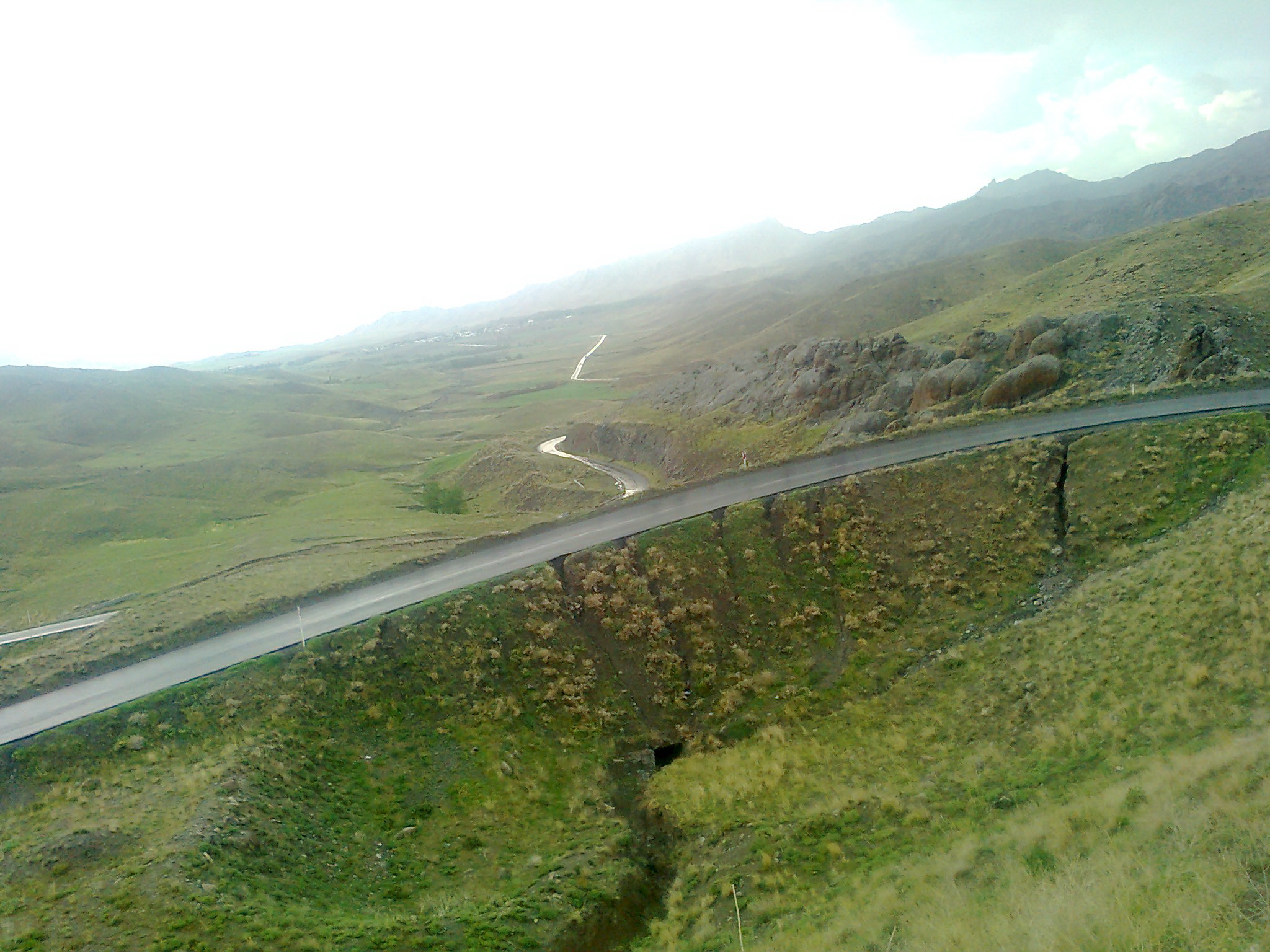

About Our Data
The data on this page is estimated using a number of publicly available tools and resources. It is provided without warranty, and could contain inaccuracies. Use at your own risk.