Gond-e Vila Facts
| Local Time | |
| Timezone | Iran Standard Time |
| Lat & Lng | 37.03660, 45.20130 |
Map of Gond-e Vila
Interactive Map
Recent Nearby Earthquakes
Magnitude 3.0 and greater
| Date▼ | Time↕ | Magnitude↕ | Distance↕ | Depth↕ | Location↕ | Link |
|---|---|---|---|---|---|---|
| 12/2/17 | 11:58 AM | 4.4 | 86.6 km | 10,000 m | 35km WNW of Orumiyeh, Iran | usgs.gov |
| 8/23/17 | 1:42 PM | 5.1 | 97.6 km | 8,000 m | 29km ENE of Kuysinjaq, Iraq | usgs.gov |
| 9/1/15 | 2:33 AM | 4.1 | 77 km | 4,800 m | 25km WNW of Orumiyeh, Iran | usgs.gov |
| 9/27/13 | 10:02 AM | 4.5 | 40 km | 7,000 m | 27km SSW of Orumiyeh, Iran | usgs.gov |
| 2/25/13 | 8:03 AM | 4.3 | 15 km | 4,000 m | 4km S of Oshnaviyeh, Iran | usgs.gov |
| 5/27/11 | 12:31 PM | 4.1 | 12.1 km | 5,000 m | northwestern Iran | usgs.gov |
| 8/8/10 | 5:35 PM | 4.3 | 23.5 km | 10,000 m | Iran-Iraq border region | usgs.gov |
| 11/30/08 | 4:57 PM | 3.9 | 78.3 km | 10,000 m | Turkey-Iran-Iraq border region | usgs.gov |
| 5/15/08 | 8:38 PM | 3.7 | 82.9 km | 14,800 m | Turkey-Iran-Iraq border region | usgs.gov |
| 4/15/08 | 1:21 AM | 4 | 35.6 km | 15,000 m | Turkey-Iran-Iraq border region | usgs.gov |
Source: U.S. Geological Survey (USGS)
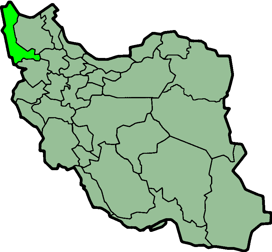
Gond-e Vila
Gond-e Vila (Persian: گندويلا, also Romanized as Gond-e Vīlā; also known as Gonbad-e Vīlā) is a village in Oshnavieh-ye Shomali Rural District, in the Central District of Oshnavieh County, West Azerbaijan Province, Iran. At the 2006 census, its pop..
Gond-e Vila Wikipedia Page
About Our Data
The data on this page is estimated using a number of publicly available tools and resources. It is provided without warranty, and could contain inaccuracies. Use at your own risk.