Halah Qush Facts
| Local Time | |
| Timezone | Iran Standard Time |
| Lat & Lng | 37.80010, 44.71000 |
Map of Halah Qush
Interactive Map
Recent Nearby Earthquakes
Magnitude 3.0 and greater
| Date▼ | Time↕ | Magnitude↕ | Distance↕ | Depth↕ | Location↕ | Link |
|---|---|---|---|---|---|---|
| 6/23/18 | 3:50 AM | 4.6 | 93.5 km | 10,000 m | 17km ESE of Saray, Turkey | usgs.gov |
| 4/16/18 | 12:02 AM | 3.5 | 94.3 km | 10,000 m | 33km W of Marand, Iran | usgs.gov |
| 12/2/17 | 11:58 AM | 4.4 | 8.8 km | 10,000 m | 35km WNW of Orumiyeh, Iran | usgs.gov |
| 8/9/17 | 1:58 AM | 4 | 92.9 km | 10,000 m | 12km SSE of Saray, Turkey | usgs.gov |
| 6/22/16 | 4:57 PM | 4.3 | 83 km | 10,000 m | 8km W of Khvoy, Iran | usgs.gov |
| 6/22/16 | 10:47 AM | 4.3 | 75.7 km | 6,300 m | 14km SW of Khvoy, Iran | usgs.gov |
| 9/16/15 | 7:12 PM | 4.1 | 90.7 km | 5,500 m | 33km WNW of Khvoy, Iran | usgs.gov |
| 9/1/15 | 2:33 AM | 4.1 | 18.4 km | 4,800 m | 25km WNW of Orumiyeh, Iran | usgs.gov |
| 11/9/13 | 9:21 PM | 4.1 | 62 km | 3,300 m | 17km N of Salmas, Iran | usgs.gov |
| 11/7/13 | 8:03 PM | 4 | 64 km | 10,000 m | 19km N of Salmas, Iran | usgs.gov |
Source: U.S. Geological Survey (USGS)
Halah Qush
Halah Qush (Persian: هله قوش, also Romanized as Halah Qūsh) is a village in Beradust Rural District, Sumay-ye Beradust District, Urmia County, West Azerbaijan Province, Iran. At the 2006 census, its population was 210, in 39 families.
Halah Qush Wikipedia Page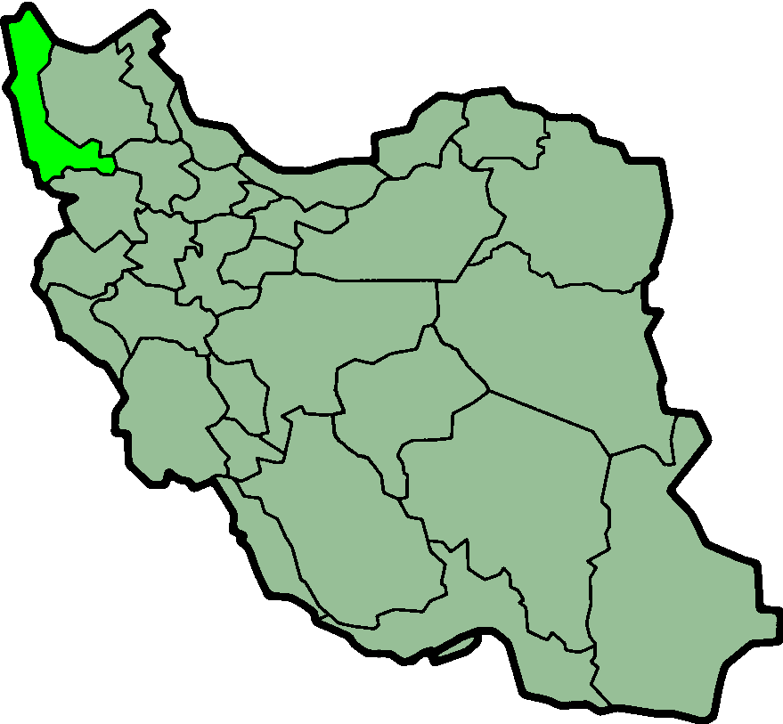
About Our Data
The data on this page is estimated using a number of publicly available tools and resources. It is provided without warranty, and could contain inaccuracies. Use at your own risk.