Halush Facts
| Local Time | |
| Timezone | Iran Standard Time |
| Lat & Lng | 33.08410, 47.56720 |
Map of Halush
Interactive Map
Recent Nearby Earthquakes
Magnitude 3.0 and greater
| Date▼ | Time↕ | Magnitude↕ | Distance↕ | Depth↕ | Location↕ | Link |
|---|---|---|---|---|---|---|
| 7/31/19 | 8:20 PM | 4.3 | 12.9 km | 10,000 m | 21km NNE of Abdanan, Iran | usgs.gov |
| 2/27/19 | 4:45 PM | 4.1 | 18.3 km | 10,000 m | 9km SE of Abdanan, Iran | usgs.gov |
| 2/27/19 | 5:42 AM | 4.6 | 5.6 km | 10,000 m | 14km ENE of Abdanan, Iran | usgs.gov |
| 12/24/18 | 4:58 AM | 4.1 | 39.1 km | 10,000 m | 29km E of Dehloran, Iran | usgs.gov |
| 7/28/18 | 6:00 PM | 4.2 | 39.2 km | 10,000 m | 12km SSE of Kuhdasht, Iran | usgs.gov |
| 5/5/17 | 5:37 PM | 4.3 | 12.6 km | 10,000 m | 13km N of Abdanan, Iran | usgs.gov |
| 1/13/17 | 11:00 PM | 4.1 | 42.2 km | 10,000 m | 22km E of Dehloran, Iran | usgs.gov |
| 11/1/16 | 3:28 AM | 4 | 20.1 km | 8,000 m | 3km S of Abdanan, Iran | usgs.gov |
| 6/22/16 | 11:14 PM | 4.4 | 17.7 km | 10,000 m | 19km N of Abdanan, Iran | usgs.gov |
| 4/12/16 | 2:10 PM | 4.2 | 24 km | 10,000 m | 15km NW of Abdanan, Iran | usgs.gov |
Source: U.S. Geological Survey (USGS)
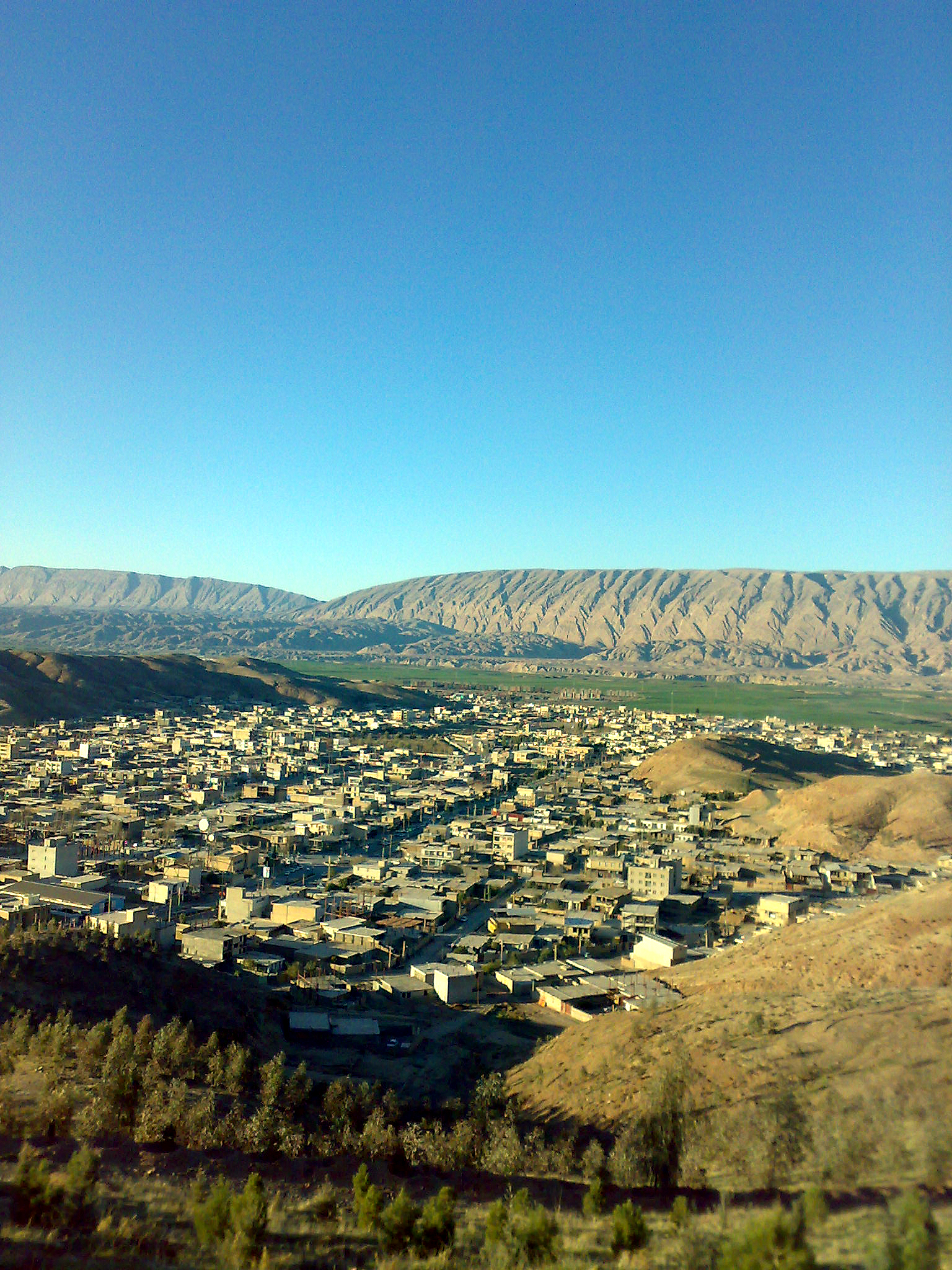
Halush
Halush (Persian: هلوش, also Romanized as Halūsh) is a village in Jayedar Rural District, in the Central District of Pol-e Dokhtar County, Lorestan Province, Iran. At the 2006 census, its population was 1,117, in 218 families.
Halush Wikipedia Page


About Our Data
The data on this page is estimated using a number of publicly available tools and resources. It is provided without warranty, and could contain inaccuracies. Use at your own risk.