Kerishan Facts
| Local Time | |
| Timezone | Iran Standard Time |
| Lat & Lng | 39.10860, 46.95680 |
Map of Kerishan
Interactive Map
Recent Nearby Earthquakes
Magnitude 3.0 and greater
| Date▼ | Time↕ | Magnitude↕ | Distance↕ | Depth↕ | Location↕ | Link |
|---|---|---|---|---|---|---|
| 2/28/17 | 6:17 AM | 3.6 | 42.1 km | 10,000 m | 5km NW of Agarak, Armenia | usgs.gov |
| 8/2/16 | 10:15 AM | 3.8 | 77 km | 7,700 m | 29km W of Ahar, Iran | usgs.gov |
| 1/7/15 | 11:00 PM | 4.1 | 83.7 km | 10,000 m | 18km SSE of Hats'avan, Armenia | usgs.gov |
| 12/19/13 | 7:58 AM | 4 | 90.8 km | 9,770 m | 28km SW of Ahar, Iran | usgs.gov |
| 3/8/13 | 1:45 PM | 4 | 85.5 km | 4,000 m | northwestern Iran | usgs.gov |
| 3/3/13 | 8:59 PM | 4.2 | 82.3 km | 6,000 m | northwestern Iran | usgs.gov |
| 2/12/13 | 10:24 PM | 4.2 | 74.1 km | 10,000 m | northwestern Iran | usgs.gov |
| 1/28/13 | 7:38 PM | 4.4 | 79.4 km | 4,000 m | 33km WSW of Ahar, Iran | usgs.gov |
| 1/26/13 | 3:10 PM | 4.8 | 83.7 km | 6,000 m | northwestern Iran | usgs.gov |
| 11/16/12 | 3:58 AM | 4.9 | 68.7 km | 15,000 m | northwestern Iran | usgs.gov |
Source: U.S. Geological Survey (USGS)
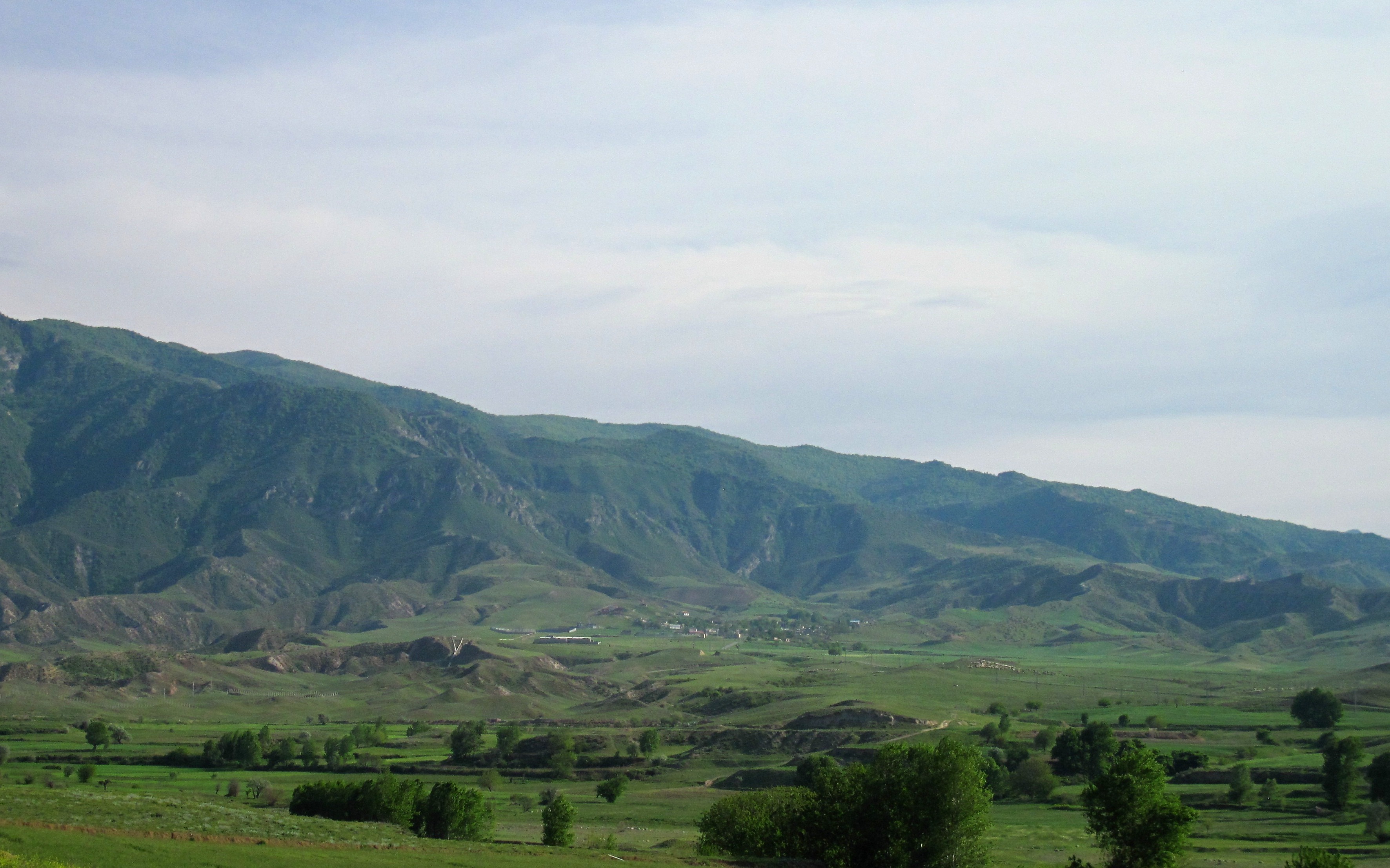
Kerishan
Kerishan (Persian: كريشان, also Romanized as Kerīshān) is a village in Minjavan-e Sharqi Rural District, Minjavan District, Khoda Afarin County, East Azerbaijan Province, Iran. At the 2006 census, its population was 121, in 24 families.
Kerishan Wikipedia Page

About Our Data
The data on this page is estimated using a number of publicly available tools and resources. It is provided without warranty, and could contain inaccuracies. Use at your own risk.